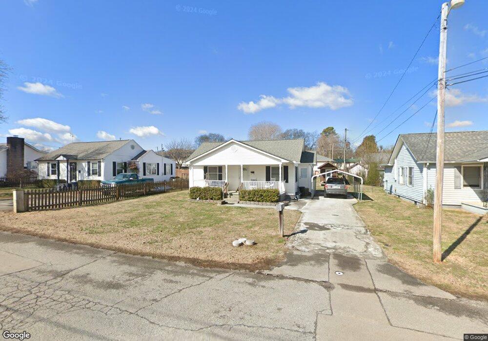
1132 Huffland Dr Loudon, TN 37774
Estimated Value: $153,848 - $194,000
--
Bed
1
Bath
972
Sq Ft
$182/Sq Ft
Est. Value
About This Home
This home is located at 1132 Huffland Dr, Loudon, TN 37774 and is currently estimated at $177,212, approximately $182 per square foot. 1132 Huffland Dr is a home located in Loudon County with nearby schools including Loudon High School.
Ownership History
Date
Name
Owned For
Owner Type
Purchase Details
Closed on
Jun 26, 2015
Sold by
England Colene T
Bought by
Branam Kelli
Current Estimated Value
Purchase Details
Closed on
May 9, 2005
Sold by
White Cogburn Jama
Bought by
England Colene T
Purchase Details
Closed on
Mar 26, 1993
Bought by
Smallen Evelyn D
Purchase Details
Closed on
Apr 3, 1988
Bought by
Key Bobby J and Key Dorothy S
Purchase Details
Closed on
May 16, 1987
Bought by
House Harry C Jr & Sandra
Create a Home Valuation Report for This Property
The Home Valuation Report is an in-depth analysis detailing your home's value as well as a comparison with similar homes in the area
Home Values in the Area
Average Home Value in this Area
Purchase History
| Date | Buyer | Sale Price | Title Company |
|---|---|---|---|
| Branam Kelli | -- | -- | |
| England Colene T | $82,000 | -- | |
| Smallen Evelyn D | $48,000 | -- | |
| Key Bobby J | $25,000 | -- | |
| House Harry C Jr & Sandra | $23,100 | -- |
Source: Public Records
Tax History Compared to Growth
Tax History
| Year | Tax Paid | Tax Assessment Tax Assessment Total Assessment is a certain percentage of the fair market value that is determined by local assessors to be the total taxable value of land and additions on the property. | Land | Improvement |
|---|---|---|---|---|
| 2025 | $674 | $25,775 | $3,725 | $22,050 |
| 2023 | $674 | $25,775 | $0 | $0 |
| 2022 | $674 | $25,775 | $3,725 | $22,050 |
| 2021 | $674 | $25,775 | $3,725 | $22,050 |
| 2020 | $460 | $25,775 | $3,725 | $22,050 |
| 2019 | $460 | $15,150 | $3,600 | $11,550 |
| 2018 | $451 | $15,150 | $3,600 | $11,550 |
| 2017 | $451 | $15,150 | $3,600 | $11,550 |
| 2016 | $472 | $15,575 | $3,600 | $11,975 |
| 2015 | $473 | $15,575 | $3,600 | $11,975 |
| 2014 | $473 | $15,575 | $3,600 | $11,975 |
Source: Public Records
Map
Nearby Homes
- 1108 Welch Ave
- 1108 Huffland Dr
- 1114 Welch Ave
- 902 Rosedale Ave
- 925 Summer St
- 739 Ferry St
- 101 Pear Tree Ln
- 806 Vale St
- 806 Commerce St
- 20 Webster Ct
- 280 Robinson Trail
- 561 Robinson Dr
- 703 Church St
- 909 Highland Ave
- 535 River Rd
- 530 River Rd
- 538 River Rd
- 542 River Rd
- 488 Silent River Ln
- 340 Silent River Ln
- 1130 Huffland Dr
- 1134 Huffland Dr
- 1128 Huffland Dr
- 1107 Welch Ave
- 1136 Huffland Dr
- 1105 Welch Ave
- 1109 Welch Ave
- 1103 Welch Ave
- 1122 Huffland Dr
- 1111 Welch Ave
- 1131 Huffland Dr
- 1144 Huffland Dr
- 1133 Huffland Dr
- 1129 Huffland Dr
- 1140 Huffland Dr
- 1118 Huffland Dr
- 1135 Huffland Dr
- 1127 Huffland Dr
- 1114 Huffland Dr
- 1113 Welch Ave