11320 Saint Andrews Way Unit B3 Painesville, OH 44077
Quail Hollow NeighborhoodEstimated Value: $321,000 - $350,000
3
Beds
3
Baths
1,635
Sq Ft
$206/Sq Ft
Est. Value
About This Home
This home is located at 11320 Saint Andrews Way Unit B3, Painesville, OH 44077 and is currently estimated at $337,055, approximately $206 per square foot. 11320 Saint Andrews Way Unit B3 is a home located in Lake County with nearby schools including Henry F. Lamuth Middle School, Riverside Junior/Senior High School, and The Goddard School - Concord Township.
Ownership History
Date
Name
Owned For
Owner Type
Purchase Details
Closed on
Jan 3, 2006
Sold by
Sheets Lane H and Molder Esther S
Bought by
Sheets Lane H and Molder Esther S
Current Estimated Value
Purchase Details
Closed on
Apr 21, 2005
Sold by
Kovar Allen A and Kovar Mary Ann
Bought by
Sheets Lane H and Molder Esther S
Home Financials for this Owner
Home Financials are based on the most recent Mortgage that was taken out on this home.
Original Mortgage
$195,000
Interest Rate
5.37%
Mortgage Type
Purchase Money Mortgage
Purchase Details
Closed on
Apr 17, 1996
Sold by
Rowley William W
Bought by
Kovar Allen A and Kovar Mary
Home Financials for this Owner
Home Financials are based on the most recent Mortgage that was taken out on this home.
Original Mortgage
$112,500
Interest Rate
6.25%
Mortgage Type
New Conventional
Create a Home Valuation Report for This Property
The Home Valuation Report is an in-depth analysis detailing your home's value as well as a comparison with similar homes in the area
Home Values in the Area
Average Home Value in this Area
Purchase History
| Date | Buyer | Sale Price | Title Company |
|---|---|---|---|
| Sheets Lane H | -- | None Available | |
| Sheets Lane H | $250,000 | Continental Title | |
| Kovar Allen A | $212,500 | -- |
Source: Public Records
Mortgage History
| Date | Status | Borrower | Loan Amount |
|---|---|---|---|
| Previous Owner | Sheets Lane H | $195,000 | |
| Previous Owner | Kovar Allen A | $112,500 |
Source: Public Records
Tax History Compared to Growth
Tax History
| Year | Tax Paid | Tax Assessment Tax Assessment Total Assessment is a certain percentage of the fair market value that is determined by local assessors to be the total taxable value of land and additions on the property. | Land | Improvement |
|---|---|---|---|---|
| 2024 | -- | $98,430 | $22,680 | $75,750 |
| 2023 | $7,594 | $78,630 | $18,900 | $59,730 |
| 2022 | $3,664 | $78,630 | $18,900 | $59,730 |
| 2021 | $3,679 | $78,630 | $18,900 | $59,730 |
| 2020 | $3,371 | $65,520 | $15,750 | $49,770 |
| 2019 | $3,367 | $65,520 | $15,750 | $49,770 |
| 2018 | $3,378 | $68,220 | $10,500 | $57,720 |
| 2017 | $3,727 | $68,220 | $10,500 | $57,720 |
| 2016 | $3,423 | $68,220 | $10,500 | $57,720 |
| 2015 | $3,205 | $68,220 | $10,500 | $57,720 |
| 2014 | $3,198 | $68,220 | $10,500 | $57,720 |
| 2013 | $3,198 | $68,220 | $10,500 | $57,720 |
Source: Public Records
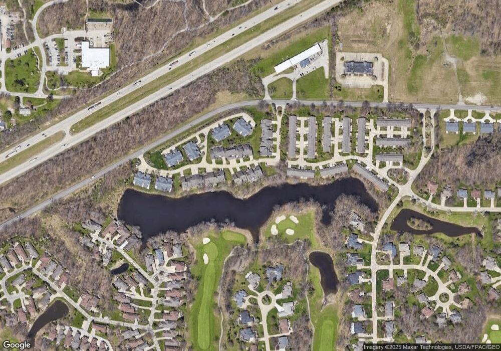
Map
Nearby Homes
- 7807 Hunting Lake Dr
- 7295 Players Club Dr
- 7280 Hunters Trail
- 11390 Labrador Ln
- 11383 Somerset Trail
- 7051 Bristlewood Dr Unit 6D
- 11231 Hampton Bay Ln Unit 74
- 11440 Somerset Trail
- 6980 Sturbridge Dr
- 7818 Hunting Lake Dr
- 11096 Quail Hollow Dr Unit 26
- 7347 Hillshire Dr
- 7204 S Excaliber Dr Unit 157-B
- 11307 S Forest Dr Unit 3
- 11310 S Forest Dr
- 7149 N Downing Place
- 11579 Olde Stone Ct
- 7248 S Jester Place Unit D
- 6871 Auburn Rd Unit 10
- 7159 N Kipling Place
- 11322 Saint Andrews Way Unit B4
- 11318 Saint Andrews Way Unit B2
- 11318 Saint Andrews Way Unit 2
- 11314 Saint Andrews Way
- 11325 Saint Andrews Way
- 11321 Saint Andrews Way
- 11329 Saint Andrews Way
- 11319 Saint Andrews Way
- 11306 Saint Andrews Way Unit D1
- 11315 Saint Andrews Way
- 11331 Saint Andrews Way Unit A4
- 11304 Saint Andrews Way Unit D2
- 11309 St Andrews Way
- 11309 Saint Andrews Way
- 11332 Pelican Cove Unit B-3
- 11332 Pelican Cove
- 11333 Saint Andrews Way
- 11305 Saint Andrews Way
- 11302 Saint Andrews Way Unit D3
- 11334 Glen Eagles Dr Unit C7