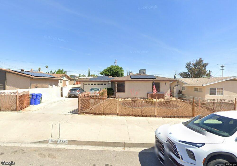
1133 E Virginia Way Barstow, CA 92311
Estimated Value: $263,000 - $349,000
3
Beds
2
Baths
1,268
Sq Ft
$229/Sq Ft
Est. Value
About This Home
This home is located at 1133 E Virginia Way, Barstow, CA 92311 and is currently estimated at $290,489, approximately $229 per square foot. 1133 E Virginia Way is a home located in San Bernardino County with nearby schools including Barstow Junior High School, Barstow High School, and Mojave River Academy - Silver Mountain.
Ownership History
Date
Name
Owned For
Owner Type
Purchase Details
Closed on
Jun 26, 2019
Sold by
Dillard Florence Jeanette and Dillard Jeanette F
Bought by
Burden Robert
Current Estimated Value
Home Financials for this Owner
Home Financials are based on the most recent Mortgage that was taken out on this home.
Original Mortgage
$165,447
Outstanding Balance
$144,677
Interest Rate
3.73%
Mortgage Type
FHA
Estimated Equity
$145,812
Create a Home Valuation Report for This Property
The Home Valuation Report is an in-depth analysis detailing your home's value as well as a comparison with similar homes in the area
Home Values in the Area
Average Home Value in this Area
Purchase History
| Date | Buyer | Sale Price | Title Company |
|---|---|---|---|
| Burden Robert | $168,500 | Stewart Title Of Ca Inc |
Source: Public Records
Mortgage History
| Date | Status | Borrower | Loan Amount |
|---|---|---|---|
| Open | Burden Robert | $165,447 |
Source: Public Records
Tax History Compared to Growth
Tax History
| Year | Tax Paid | Tax Assessment Tax Assessment Total Assessment is a certain percentage of the fair market value that is determined by local assessors to be the total taxable value of land and additions on the property. | Land | Improvement |
|---|---|---|---|---|
| 2025 | $2,102 | $184,281 | $36,857 | $147,424 |
| 2024 | $2,065 | $180,667 | $36,134 | $144,533 |
| 2023 | $2,021 | $177,124 | $35,425 | $141,699 |
| 2022 | $2,013 | $173,651 | $34,730 | $138,921 |
| 2021 | $1,954 | $170,246 | $34,049 | $136,197 |
| 2020 | $1,958 | $168,500 | $33,700 | $134,800 |
| 2019 | $91 | $120,907 | $21,425 | $99,482 |
| 2018 | $89 | $118,536 | $21,005 | $97,531 |
| 2017 | $87 | $116,212 | $20,593 | $95,619 |
| 2016 | $85 | $113,933 | $20,189 | $93,744 |
| 2015 | $84 | $112,222 | $19,886 | $92,336 |
| 2014 | $82 | $110,023 | $19,496 | $90,527 |
Source: Public Records
Map
Nearby Homes
- 1201 E Elizabeth St
- 1405 Piute St
- 313 Muir Ave
- 700 Agnes Dr
- 312 Grove Ave
- 905 E Elizabeth St
- 840 E Virginia Way
- 610 Agnes Dr
- 950 Lance Dr
- 820 Lillian Dr
- 660 Kathleen Dr
- 0 Western Whip Ct Unit CV25272164
- 611 Lillian Dr
- 601 Lillian Dr
- 561 Frances Dr
- 620 Kathleen Dr
- 1505 Sunrise Rd
- 841 Armory Rd
- 1 Armory Rd
- 42424148 Armory Rd
- 1137 E Virginia Way
- 1129 E Virginia Way
- 1141 E Virginia Way
- 1125 E Virginia Way
- 1132 E Elizabeth St
- 1128 E Elizabeth St
- 1136 E Elizabeth St
- 1145 E Virginia Way
- 1121 E Virginia Way
- 1124 E Elizabeth St
- 1140 E Elizabeth St
- 1132 E Virginia Way
- 1136 E Virginia Way
- 1128 E Virginia Way
- 1140 E Virginia Way
- 1120 E Elizabeth St
- 1144 E Elizabeth St
- 1117 E Virginia Way
- 1124 E Virginia Way
- 1144 E Virginia Way