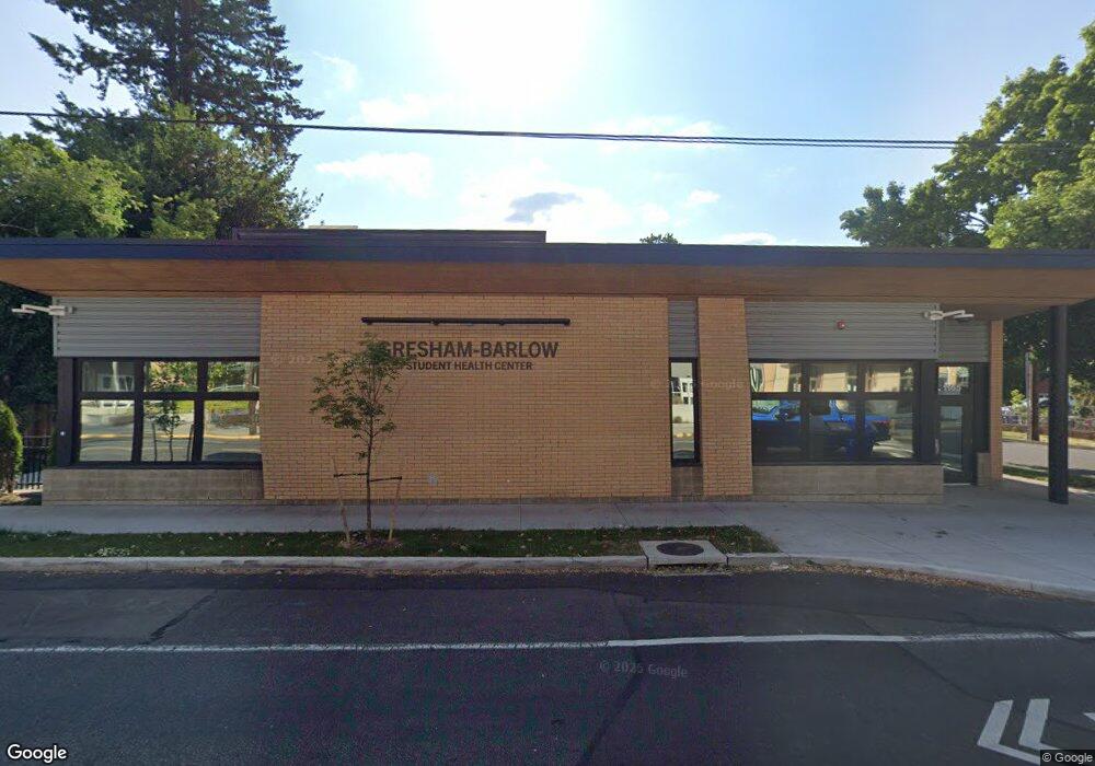
1133 N Main Ave Gresham, OR 97030
Downtown Gresham NeighborhoodEstimated Value: $322,000 - $719,505
4
Beds
1
Bath
2,330
Sq Ft
$228/Sq Ft
Est. Value
About This Home
This home is located at 1133 N Main Ave, Gresham, OR 97030 and is currently estimated at $531,502, approximately $228 per square foot. 1133 N Main Ave is a home located in Multnomah County with nearby schools including Highland Elementary School, Clear Creek Middle School, and Gresham High School.
Ownership History
Date
Name
Owned For
Owner Type
Purchase Details
Closed on
Jul 31, 2018
Sold by
Gresham Balow School District
Bought by
Gresham Barlow School District
Current Estimated Value
Purchase Details
Closed on
Mar 23, 2011
Sold by
Dye Robert
Bought by
Gresham Barlow School District
Purchase Details
Closed on
Aug 4, 2004
Sold by
Malcom John P
Bought by
Malcom John P and Malcolm Living Trust
Purchase Details
Closed on
Mar 13, 1995
Sold by
Ott Marguerite L
Bought by
Malcom John P
Create a Home Valuation Report for This Property
The Home Valuation Report is an in-depth analysis detailing your home's value as well as a comparison with similar homes in the area
Home Values in the Area
Average Home Value in this Area
Purchase History
| Date | Buyer | Sale Price | Title Company |
|---|---|---|---|
| Gresham Barlow School District | -- | None Available | |
| Gresham Barlow School District | $310,000 | Fidelity Natl Title Co Of Or | |
| Malcom John P | -- | -- | |
| Malcom John P | $88,200 | -- |
Source: Public Records
Tax History
| Year | Tax Paid | Tax Assessment Tax Assessment Total Assessment is a certain percentage of the fair market value that is determined by local assessors to be the total taxable value of land and additions on the property. | Land | Improvement |
|---|---|---|---|---|
| 2025 | -- | -- | -- | -- |
| 2024 | -- | -- | -- | -- |
| 2023 | $0 | $0 | $0 | $0 |
| 2022 | $0 | $0 | $0 | $0 |
| 2021 | $0 | $0 | $0 | $0 |
| 2020 | $0 | $0 | $0 | $0 |
| 2019 | $0 | $0 | $0 | $0 |
| 2018 | $0 | $0 | $0 | $0 |
| 2017 | $0 | $0 | $0 | $0 |
| 2016 | -- | $0 | $0 | $0 |
Source: Public Records
Map
Nearby Homes
- 54 NW 13th St
- 0 NE 5th St
- 210 NE 5th St
- 1783 1791 NE Beech Place
- 349 NE 18th St
- 660 NE 9th St
- 318 NE Roberts Ave Unit 308
- 318 NE Roberts Ave Unit 203
- 894 NE Linden Ave
- 491 NE Elliott Ave
- 450 NE 22nd St
- 994 NW Wallula Ave
- 1035 SE 225th Ave
- 234 NE Cleveland Ave
- 535 NE 24th St
- 0 NE 6th St
- 1325 NW 9th St
- 2730 NE Roberts Ave
- 415 SE Roberts Ave
- 1113 W Powell Blvd
Your Personal Tour Guide
Ask me questions while you tour the home.