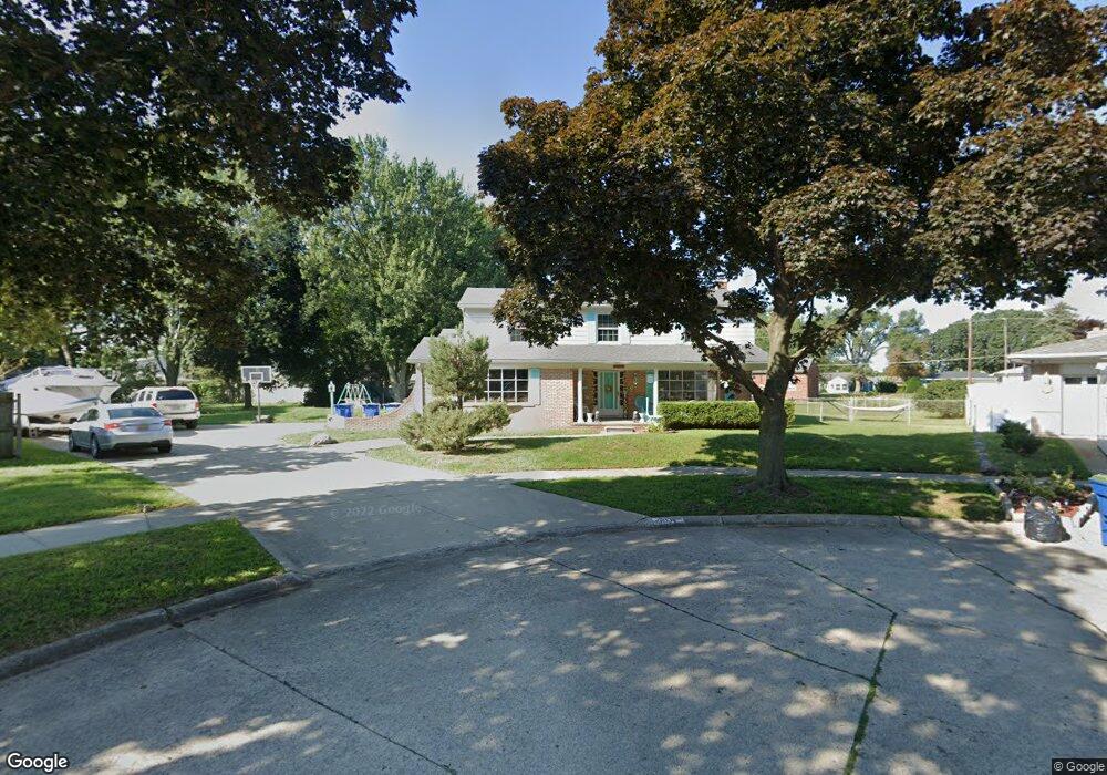
11330 Lois Ct Warren, MI 48089
Southeast Warren NeighborhoodEstimated Value: $294,000 - $306,118
4
Beds
3
Baths
2,356
Sq Ft
$129/Sq Ft
Est. Value
About This Home
This home is located at 11330 Lois Ct, Warren, MI 48089 and is currently estimated at $303,030, approximately $128 per square foot. 11330 Lois Ct is a home located in Macomb County with nearby schools including May V. Peck Elementary School, Wolfe Middle School, and Center Line High School.
Ownership History
Date
Name
Owned For
Owner Type
Purchase Details
Closed on
Apr 13, 2023
Sold by
Boling Christal
Bought by
Boling Christal and Boling Kenneth M
Current Estimated Value
Purchase Details
Closed on
Jun 12, 2012
Sold by
Gesch Donny and Gesch Tracey
Bought by
Boling Christal
Home Financials for this Owner
Home Financials are based on the most recent Mortgage that was taken out on this home.
Original Mortgage
$37,500
Interest Rate
4.55%
Mortgage Type
New Conventional
Purchase Details
Closed on
Jun 1, 2012
Sold by
Knapchuck James and Knapchuck Rebecca
Bought by
Boling Christal
Home Financials for this Owner
Home Financials are based on the most recent Mortgage that was taken out on this home.
Original Mortgage
$37,500
Interest Rate
4.55%
Mortgage Type
New Conventional
Purchase Details
Closed on
May 29, 2012
Sold by
Boling Christal
Bought by
Boling Christal
Home Financials for this Owner
Home Financials are based on the most recent Mortgage that was taken out on this home.
Original Mortgage
$37,500
Interest Rate
4.55%
Mortgage Type
New Conventional
Purchase Details
Closed on
May 15, 2000
Sold by
Dow Richard J
Bought by
Larocca Sheri A
Home Financials for this Owner
Home Financials are based on the most recent Mortgage that was taken out on this home.
Original Mortgage
$35,000
Interest Rate
7.8%
Mortgage Type
Purchase Money Mortgage
Create a Home Valuation Report for This Property
The Home Valuation Report is an in-depth analysis detailing your home's value as well as a comparison with similar homes in the area
Home Values in the Area
Average Home Value in this Area
Purchase History
| Date | Buyer | Sale Price | Title Company |
|---|---|---|---|
| Boling Christal | -- | None Listed On Document | |
| Boling Christal | -- | Sterling Title Agency | |
| Boling Christal | -- | Sterling Title Agency | |
| Boling Christal | -- | Sterling Title Agency | |
| Larocca Sheri A | $189,900 | -- |
Source: Public Records
Mortgage History
| Date | Status | Borrower | Loan Amount |
|---|---|---|---|
| Previous Owner | Boling Christal | $37,500 | |
| Previous Owner | Larocca Sheri A | $35,000 |
Source: Public Records
Tax History Compared to Growth
Tax History
| Year | Tax Paid | Tax Assessment Tax Assessment Total Assessment is a certain percentage of the fair market value that is determined by local assessors to be the total taxable value of land and additions on the property. | Land | Improvement |
|---|---|---|---|---|
| 2025 | $4,710 | $150,110 | $0 | $0 |
| 2024 | $4,609 | $134,240 | $0 | $0 |
| 2023 | $4,290 | $116,970 | $0 | $0 |
| 2022 | $4,177 | $105,320 | $0 | $0 |
| 2021 | $4,084 | $98,540 | $0 | $0 |
| 2020 | $3,951 | $98,670 | $0 | $0 |
| 2019 | $3,813 | $87,850 | $0 | $0 |
| 2018 | $3,825 | $78,710 | $0 | $0 |
| 2017 | $3,497 | $71,560 | $10,720 | $60,840 |
| 2016 | $3,479 | $71,560 | $0 | $0 |
| 2015 | -- | $62,210 | $0 | $0 |
| 2013 | $3,246 | $51,650 | $0 | $0 |
Source: Public Records
Map
Nearby Homes
- 11620 Herbert Ave
- 11175 Sunburst Ave
- 25841 Gunston Ave
- 11245 Mae Ave
- 11455 E 11 Mile Rd
- 11085 Busch Ave
- 27125 Gilbert Dr
- 11920 Carney St
- 11771 Harold St
- 27300 Santa Ana Dr
- 11633 Engleman Rd
- 26443 Marilyn Ave
- 11657 Engleman Rd
- 27278 Shackett Ave
- 27260 Norma Dr
- 11478 Engleman Rd
- 27074 Bonnie Dr
- 26608 Marilyn Ave
- 12237 Champaign Ave
- 27480 Shackett Ave
- 11344 Lois Ct
- 26360 Burg Rd
- 11317 Darla Ct
- 11323 Lois Ct
- 11329 Darla Ct
- 26220 Burg Rd
- 26345 Falmouth Dr
- 26333 Falmouth Dr
- 26370 Burg Rd
- 11335 Lois Ct
- 26321 Falmouth Dr
- 11347 Lois Ct
- 11308 Darla Ct
- 26417 Falmouth Dr
- 26382 Burg Rd
- 26309 Falmouth Dr
- 26216 Burg Rd
- 26429 Falmouth Dr
- 26204 Burg Rd
- 11328 Carrier Ave