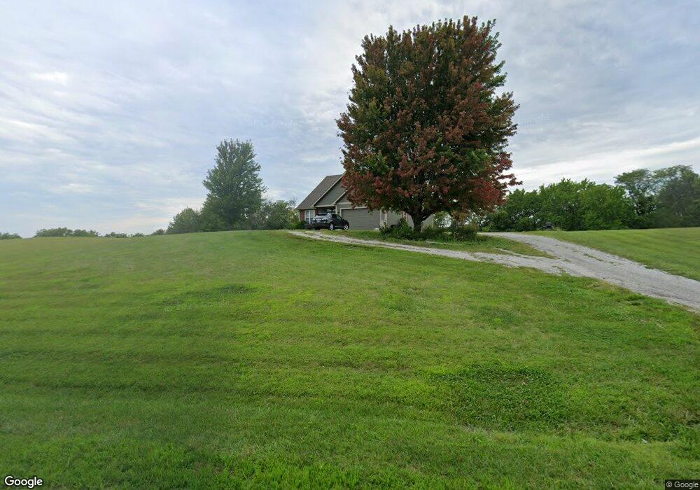
11331 Cedar Ridge Blvd Savannah, MO 64485
Estimated Value: $511,835 - $590,000
4
Beds
4
Baths
4,417
Sq Ft
$123/Sq Ft
Est. Value
About This Home
This home is located at 11331 Cedar Ridge Blvd, Savannah, MO 64485 and is currently estimated at $541,709, approximately $122 per square foot. 11331 Cedar Ridge Blvd is a home located in Andrew County with nearby schools including Minnie Cline Elementary School and Savannah Middle School.
Ownership History
Date
Name
Owned For
Owner Type
Purchase Details
Closed on
Sep 24, 2008
Sold by
Larson Bradley A and Larson Susan M
Bought by
Ackley Thomas E and Korell Janet E
Current Estimated Value
Home Financials for this Owner
Home Financials are based on the most recent Mortgage that was taken out on this home.
Original Mortgage
$105,000
Interest Rate
6.01%
Create a Home Valuation Report for This Property
The Home Valuation Report is an in-depth analysis detailing your home's value as well as a comparison with similar homes in the area
Purchase History
| Date | Buyer | Sale Price | Title Company |
|---|---|---|---|
| Ackley Thomas E | -- | -- |
Source: Public Records
Mortgage History
| Date | Status | Borrower | Loan Amount |
|---|---|---|---|
| Closed | Ackley Thomas E | $105,000 |
Source: Public Records
Tax History
| Year | Tax Paid | Tax Assessment Tax Assessment Total Assessment is a certain percentage of the fair market value that is determined by local assessors to be the total taxable value of land and additions on the property. | Land | Improvement |
|---|---|---|---|---|
| 2025 | $3,205 | $56,000 | $7,030 | $48,970 |
| 2024 | $3,205 | $50,870 | $7,030 | $43,840 |
| 2023 | $3,057 | $50,870 | $7,030 | $43,840 |
| 2022 | $3,051 | $50,870 | $7,030 | $43,840 |
| 2021 | $2,909 | $50,870 | $7,030 | $43,840 |
| 2020 | $2,855 | $50,870 | $7,030 | $43,840 |
| 2019 | $2,859 | $50,870 | $7,030 | $43,840 |
| 2018 | $2,855 | $50,870 | $7,030 | $43,840 |
| 2017 | $0 | $50,870 | $7,030 | $43,840 |
| 2016 | $2,917 | $50,870 | $7,030 | $43,840 |
| 2015 | -- | $50,870 | $7,030 | $43,840 |
| 2011 | -- | $264,090 | $37,000 | $227,090 |
Source: Public Records
Map
Nearby Homes
- 704 S 12th Terrace
- 1205 W Park Ave
- 1407 W Main Terrace
- 1508 W William St
- 1506 W William St
- 307 N 14th St
- 1213 W Chestnut St
- 1012 S 7th St
- 604 N 13th Terrace
- 503 W Elk St
- 904 S 5th St
- 206 N 8th St
- 803 N 15th Terrace
- 203 S 6th St
- 9769 County Road 427
- 9226 County Road 427
- 301 N 5th St
- 502 S 2nd St
- 14610 State Route Dd
- 105 W Price Ave
- 11310 Cedar Ridge Blvd
- 11355 Cedar Ridge Blvd
- 11399 Cedar Ridge Blvd
- 10245 County Road 424
- 11458 Hillview Dr
- 9745 County Road 423
- 11437 Hillview Dr
- 11425 Hillview Dr
- 11449 Hillview Dr
- 10260 County Road 424
- 10300 County Road 424
- 11413 Hillview Dr
- 11470 Hillview Dr
- 10144 County Road 424
- 10543 State Route T
- 10366 County Road 424
- 10449 State Route T
- 10315 County Road 424
- 10551 State Route T
- 9680 County Road 423
Your Personal Tour Guide
Ask me questions while you tour the home.