11331 S Ernest Rd Yucca, AZ 86438
Estimated Value: $146,000 - $158,000
--
Bed
--
Bath
1,260
Sq Ft
$120/Sq Ft
Est. Value
About This Home
This home is located at 11331 S Ernest Rd, Yucca, AZ 86438 and is currently estimated at $150,623, approximately $119 per square foot. 11331 S Ernest Rd is a home with nearby schools including White Cliffs Middle School and Lee Williams High School.
Ownership History
Date
Name
Owned For
Owner Type
Purchase Details
Closed on
Jun 3, 2020
Sold by
Mocalis Gary V
Bought by
White Jason R
Current Estimated Value
Purchase Details
Closed on
Sep 9, 2003
Sold by
Hendrich Timothy F
Bought by
Mocalis Gary
Home Financials for this Owner
Home Financials are based on the most recent Mortgage that was taken out on this home.
Original Mortgage
$35,000
Interest Rate
6.06%
Mortgage Type
Seller Take Back
Purchase Details
Closed on
May 20, 2003
Sold by
Bricker Sandra
Bought by
Hendrich Timothy F
Create a Home Valuation Report for This Property
The Home Valuation Report is an in-depth analysis detailing your home's value as well as a comparison with similar homes in the area
Home Values in the Area
Average Home Value in this Area
Purchase History
| Date | Buyer | Sale Price | Title Company |
|---|---|---|---|
| White Jason R | $50,000 | Pioneer Title Agency Inc | |
| Mocalis Gary | $50,000 | Chicago Title Ins Co | |
| Hendrich Timothy F | -- | -- |
Source: Public Records
Mortgage History
| Date | Status | Borrower | Loan Amount |
|---|---|---|---|
| Previous Owner | Mocalis Gary | $35,000 |
Source: Public Records
Tax History Compared to Growth
Tax History
| Year | Tax Paid | Tax Assessment Tax Assessment Total Assessment is a certain percentage of the fair market value that is determined by local assessors to be the total taxable value of land and additions on the property. | Land | Improvement |
|---|---|---|---|---|
| 2026 | -- | -- | -- | -- |
| 2025 | $568 | $16,528 | $0 | $0 |
| 2024 | $568 | $15,110 | $0 | $0 |
| 2023 | $568 | $13,087 | $0 | $0 |
| 2022 | $520 | $9,795 | $0 | $0 |
| 2021 | $551 | $8,036 | $0 | $0 |
| 2019 | $609 | $7,281 | $0 | $0 |
| 2018 | $629 | $6,818 | $0 | $0 |
| 2017 | $578 | $5,780 | $0 | $0 |
| 2016 | $558 | $5,389 | $0 | $0 |
| 2015 | $821 | $7,843 | $0 | $0 |
Source: Public Records
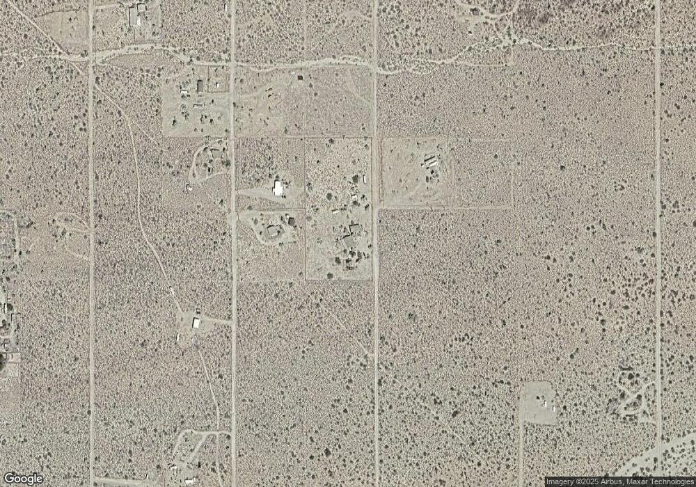
Map
Nearby Homes
- Parcel O-4 Raley Rd
- 000 Raley Rd
- TBD Apex 1 07 Acres Rd
- L9 S Jenny Rd
- 11626 S Sherry
- 11751 S Carrow Rd
- 11900 S Alan Rd
- 11964 S Carrow Rd
- 11964 S Nolan Rd
- 11989 Howard Rd
- 11814 S Dateland Rd
- 11844 S Desert View Rd
- Lot 15 Red Rock Rd
- 11102 S Red Rock Rd
- 000 Rainbow Rd
- 000XX Rainbow Rd Unit 9
- 0 Rose Well Rd Unit 24768515
- K6 Cameron Rd
- Parcel 578-B Wyatt Earp
- Unit 15 E Highland
- 11328 S Kinard Rd
- 11328 S Kinard Rd
- 11328 Kinard Rd Unit 13
- 11300 S Kinard Rd
- 11300 S Kinard Rd
- 11300 Kinard Rd
- 11303 S Raley Rd
- 11331 S Kinard Rd
- 11331 S Kinard Rd
- 11303 Kinard Rd
- 11303 Kinard Rd
- 11365 S Kinard Rd
- 11365 S Kinard Rd
- 11390 S Raley Rd
- 11135 Kinard Rd
- Lot 16 Kinard Rd
- 0 Kinard Rd
- Lot 7 Kinard Rd
- 00 Kinard Rd
- 11158 Kinard Rd