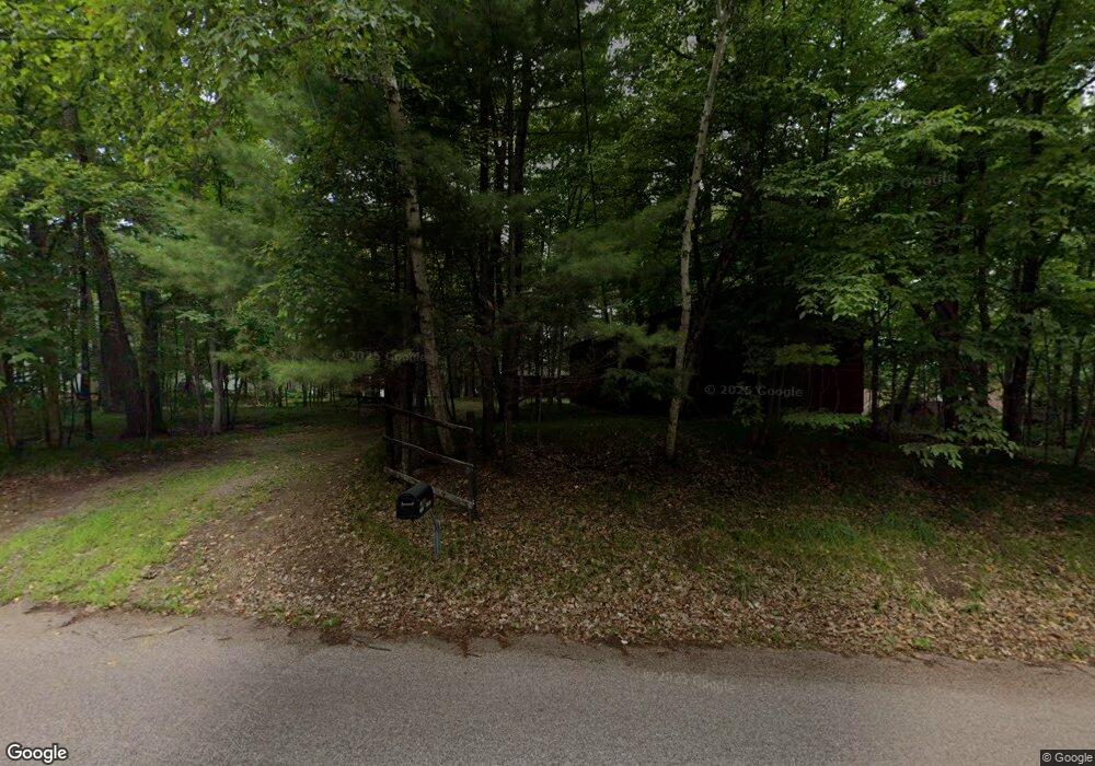
11334 Manhattan Point Blvd Crosslake, MN 56442
Estimated Value: $638,202 - $1,328,000
2
Beds
--
Bath
1,045
Sq Ft
$865/Sq Ft
Est. Value
About This Home
This home is located at 11334 Manhattan Point Blvd, Crosslake, MN 56442 and is currently estimated at $904,051, approximately $865 per square foot. 11334 Manhattan Point Blvd is a home located in Crow Wing County with nearby schools including Pine River-Backus Elementary School, Pine River-Backus High School, and Pine River-Backus Area Learning Center.
Ownership History
Date
Name
Owned For
Owner Type
Purchase Details
Closed on
Dec 5, 2024
Sold by
County Of Crow Wing
Bought by
Clemens Family Llc
Current Estimated Value
Purchase Details
Closed on
Oct 4, 2024
Sold by
Restated Amended and Substituted Dennis
Bought by
Clemens Family Llc
Create a Home Valuation Report for This Property
The Home Valuation Report is an in-depth analysis detailing your home's value as well as a comparison with similar homes in the area
Home Values in the Area
Average Home Value in this Area
Purchase History
| Date | Buyer | Sale Price | Title Company |
|---|---|---|---|
| Clemens Family Llc | -- | -- | |
| Clemens Family Llc | $500 | None Listed On Document | |
| Clemens Family Llc | $500 | None Listed On Document |
Source: Public Records
Tax History Compared to Growth
Tax History
| Year | Tax Paid | Tax Assessment Tax Assessment Total Assessment is a certain percentage of the fair market value that is determined by local assessors to be the total taxable value of land and additions on the property. | Land | Improvement |
|---|---|---|---|---|
| 2025 | $3,216 | $720,800 | $552,300 | $168,500 |
| 2024 | $3,216 | $569,400 | $429,100 | $140,300 |
| 2023 | $2,836 | $573,400 | $420,100 | $153,300 |
| 2022 | $2,972 | $464,700 | $321,500 | $143,200 |
| 2021 | $2,856 | $367,900 | $276,400 | $91,500 |
| 2020 | $2,884 | $333,300 | $248,100 | $85,200 |
| 2019 | $2,706 | $332,100 | $247,900 | $84,200 |
| 2018 | $2,714 | $309,800 | $232,800 | $77,000 |
| 2017 | $2,776 | $314,300 | $237,900 | $76,400 |
| 2016 | $2,824 | $325,900 | $251,700 | $74,200 |
| 2015 | $2,790 | $329,800 | $257,300 | $72,500 |
| 2014 | $1,394 | $325,300 | $267,000 | $58,300 |
Source: Public Records
Map
Nearby Homes
- 10596 Wabigoniss Shores
- 12125 Whitefish Ave
- 39687 Swanberg Rd
- 38738 Windsor Ave
- 12463 White Island Dr
- 11959 Northgate Ln
- 37310 Silver Peak Rd
- 37639 Forest Lodge Rd
- 37713 Forest Lodge Rd
- 11460 Lynn Boyd Way Unit Fraction 3
- 38720 South Landing
- 11527 Milinda Shores Rd
- 36587 Harbor Trail
- 11690 Harbor Ln
- XXX County Road 134
- 40071 County Road 134
- 12048 Harbor Ln
- 40694 Wall St
- 13380 Rush Harbor Dr
- 38277 Moccasin Dr
- 11316 Manhattan Point Blvd
- 11358 Manhattan Point Blvd
- 11366 Manhattan Point Blvd
- 11306 Manhattan Point Blvd
- 11376 Manhattan Point Blvd
- 11292 Manhattan Point Blvd
- 38511 Manhattan Dr
- 11268 Manhattan Point Blvd
- 38559 Manhattan Dr
- 11248 Manhattan Point Blvd
- 11330 Whitefish Ave
- 11230 Manhattan Point Blvd
- 38577 Manhattan Dr
- 11370 Whitefish Ave
- 11390 Whitefish Ave
- 11390 Whitefish Ave
- 11412 Whitefish Ave
- 11277 Whitefish Ave
- 38624 Manhattan Dr
- L 9 B 30 Whitefish Ave