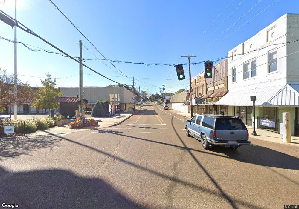
1134 Highway 48 E Tylertown, MS 39667
Estimated Value: $134,679 - $271,000
3
Beds
2
Baths
1,614
Sq Ft
$123/Sq Ft
Est. Value
About This Home
This home is located at 1134 Highway 48 E, Tylertown, MS 39667 and is currently estimated at $198,920, approximately $123 per square foot. 1134 Highway 48 E is a home located in Walthall County with nearby schools including Dexter Elementary School.
Ownership History
Date
Name
Owned For
Owner Type
Purchase Details
Closed on
May 20, 2022
Sold by
Gerald Keith B
Bought by
Smith Denford E and Smith Pamela G
Current Estimated Value
Home Financials for this Owner
Home Financials are based on the most recent Mortgage that was taken out on this home.
Original Mortgage
$76,000
Outstanding Balance
$72,107
Interest Rate
5.11%
Estimated Equity
$126,813
Purchase Details
Closed on
May 28, 2010
Sold by
Gerald Rita and Robbins Rita
Bought by
Gerald Keith B
Create a Home Valuation Report for This Property
The Home Valuation Report is an in-depth analysis detailing your home's value as well as a comparison with similar homes in the area
Home Values in the Area
Average Home Value in this Area
Purchase History
| Date | Buyer | Sale Price | Title Company |
|---|---|---|---|
| Smith Denford E | -- | -- | |
| Gerald Keith B | -- | -- |
Source: Public Records
Mortgage History
| Date | Status | Borrower | Loan Amount |
|---|---|---|---|
| Open | Smith Denford E | $76,000 |
Source: Public Records
Tax History Compared to Growth
Tax History
| Year | Tax Paid | Tax Assessment Tax Assessment Total Assessment is a certain percentage of the fair market value that is determined by local assessors to be the total taxable value of land and additions on the property. | Land | Improvement |
|---|---|---|---|---|
| 2024 | $643 | $7,095 | $0 | $0 |
| 2023 | $643 | $7,095 | $0 | $0 |
| 2022 | $618 | $7,095 | $0 | $0 |
| 2021 | $568 | $6,707 | $0 | $0 |
| 2020 | $565 | $6,707 | $0 | $0 |
| 2019 | $565 | $6,707 | $0 | $0 |
| 2018 | $565 | $6,707 | $0 | $0 |
| 2017 | $531 | $6,364 | $0 | $0 |
| 2016 | $518 | $6,364 | $0 | $0 |
| 2015 | -- | $6,364 | $0 | $0 |
| 2014 | -- | $6,364 | $0 | $0 |
| 2013 | -- | $5,911 | $0 | $0 |
Source: Public Records
Map
Nearby Homes
- 0 S Patten Rd Unit LotWP002
- 0 S Patten Rd Unit LotWP001 14839582
- 0 S Patten Rd Unit Lot WP001 15399502
- 0 Dexter Rd
- 0 Vincetown Rd Unit LotWP001 24246954
- 0 Vincetown Rd Unit LotWP003 22720124
- 0 Vincetown Rd Unit LotWP001 24198566
- 0 Vincetown Rd Unit LotWP002
- 0 Vincetown Rd Unit LotWP001 24214430
- 0 Vincetown Rd Unit LotWP001 24246955
- 273 Vincetown Rd
- 37 Fortenberry Rd
- 0 Unit WP001
- 58 New Hope Church Rd
- 0 Twin Bridge Rd
- 249 Brandon Bay Rd
- Pounds Rd Unit LotWP001
- 280 Pushapatapa Rd
- 275 Pushapatapa Rd
- 0 Brandon Bay Church Rd
- 1140 Highway 48 E
- 1130 Highway 48 E
- 1135 Highway 48 E
- 1131 Highway 48 E
- 1111 Highway 48 E
- 1111 Hwy 48 E
- 1126 Highway 48 E
- 1116 Mississippi 48 E
- 1116 Hwy 48 Ea St
- 0 Hwy 48e Unit 110747
- 0 Hwy 48e Unit 111115
- 0 Hwy 48e Unit 111483
- 0 Hwy 48e Unit 112891
- 0 Hwy 48e Unit 112890
- 0 Hwy 48e Unit 113576
- 0 Hwy 48e Unit 114289
- 0 Hwy 48e Unit 115922
- 0 Hwy 48e Unit 117340
- 0 Hwy 48e Unit 117272
- 0 Hwy 48e Unit 118079
