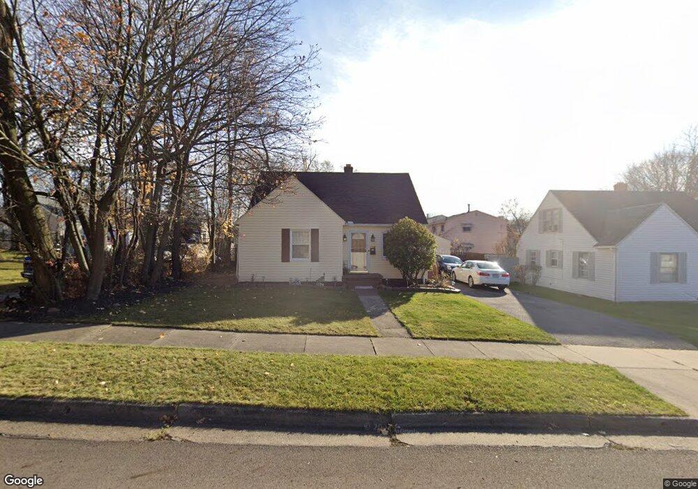
1134 Thurston St Akron, OH 44320
West Akron NeighborhoodEstimated Value: $114,000 - $138,000
1
Bed
1
Bath
1,122
Sq Ft
$114/Sq Ft
Est. Value
About This Home
This home is located at 1134 Thurston St, Akron, OH 44320 and is currently estimated at $127,758, approximately $113 per square foot. 1134 Thurston St is a home located in Summit County with nearby schools including Emmanuel Christian Academy and Julie Billiart School Akron.
Ownership History
Date
Name
Owned For
Owner Type
Purchase Details
Closed on
Apr 4, 2017
Sold by
Wade Gail D and Brooks Gail
Bought by
Brooks Gail
Current Estimated Value
Home Financials for this Owner
Home Financials are based on the most recent Mortgage that was taken out on this home.
Original Mortgage
$50,875
Outstanding Balance
$25,394
Interest Rate
3.25%
Mortgage Type
FHA
Estimated Equity
$102,364
Purchase Details
Closed on
Feb 21, 2003
Sold by
Hamilton Gail D and Hamilton Gail
Bought by
Wade Gail D
Home Financials for this Owner
Home Financials are based on the most recent Mortgage that was taken out on this home.
Original Mortgage
$59,500
Interest Rate
6.07%
Create a Home Valuation Report for This Property
The Home Valuation Report is an in-depth analysis detailing your home's value as well as a comparison with similar homes in the area
Home Values in the Area
Average Home Value in this Area
Purchase History
| Date | Buyer | Sale Price | Title Company |
|---|---|---|---|
| Brooks Gail | -- | None Available | |
| Wade Gail D | -- | Cleveland Home Title |
Source: Public Records
Mortgage History
| Date | Status | Borrower | Loan Amount |
|---|---|---|---|
| Open | Brooks Gail | $50,875 | |
| Closed | Wade Gail D | $59,500 |
Source: Public Records
Tax History Compared to Growth
Tax History
| Year | Tax Paid | Tax Assessment Tax Assessment Total Assessment is a certain percentage of the fair market value that is determined by local assessors to be the total taxable value of land and additions on the property. | Land | Improvement |
|---|---|---|---|---|
| 2025 | $2,086 | $37,307 | $7,490 | $29,817 |
| 2024 | $2,086 | $37,307 | $7,490 | $29,817 |
| 2023 | $2,086 | $37,307 | $7,490 | $29,817 |
| 2022 | $1,725 | $23,776 | $4,624 | $19,152 |
| 2021 | $1,726 | $23,776 | $4,624 | $19,152 |
| 2020 | $1,611 | $23,770 | $4,620 | $19,150 |
| 2019 | $1,434 | $19,080 | $5,350 | $13,730 |
| 2018 | $1,415 | $19,080 | $5,350 | $13,730 |
| 2017 | $1,492 | $19,080 | $5,350 | $13,730 |
| 2016 | $1,493 | $18,490 | $5,350 | $13,140 |
| 2015 | $1,492 | $18,490 | $5,350 | $13,140 |
| 2014 | $1,481 | $18,490 | $5,350 | $13,140 |
| 2013 | $1,453 | $18,500 | $5,350 | $13,150 |
Source: Public Records
Map
Nearby Homes
- 1158 Hardesty Blvd
- 1245 Greenwood Ave
- 1176 Winton Ave
- 1265 Greenwood Ave
- 1088 Packard Dr
- 1013 Hardesty Blvd
- 1063 Packard Dr
- 1255 Dover Ave
- 1327 Crestview Ave
- 1043 Slosson St
- 966 La Belle Ave
- 1349 Crestview Ave
- 1100 Mercer Ave
- 1264 Diagonal Rd
- 985 Peerless Ave
- VL Mercer Ave
- 861 Glenn St
- 1179 Seward Ave
- 1024 Roslyn Ave
- 881 Stoner St
- 1140 Thurston St
- 1191 Hartford Ave
- 1132 Hardesty Blvd
- 1142 Hardesty Blvd
- 1195 Hartford Ave
- 1135 Thurston St
- 1146 Hardesty Blvd
- 1122 Hardesty Blvd
- 1167 Hartford Ave
- 1150 Hardesty Blvd
- 1118 Hardesty Blvd
- 1184 Hartford Ave
- 1188 Hartford Ave
- 1205 Hartford Ave
- 1194 Hartford Ave
- 1163 Hartford Ave
- 1154 Hardesty Blvd
- 1172 Hartford Ave
- 1198 Hartford Ave
- 1112 Hardesty Blvd