11347 E Manitou Rd Franktown, CO 80116
Estimated Value: $960,662 - $1,309,000
3
Beds
3
Baths
3,131
Sq Ft
$369/Sq Ft
Est. Value
About This Home
This home is located at 11347 E Manitou Rd, Franktown, CO 80116 and is currently estimated at $1,156,887, approximately $369 per square foot. 11347 E Manitou Rd is a home located in Douglas County with nearby schools including Franktown Elementary School, Sagewood Middle School, and Ponderosa High School.
Ownership History
Date
Name
Owned For
Owner Type
Purchase Details
Closed on
Aug 2, 2012
Sold by
Smith Dennis D and Smitjh Elizabeth A
Bought by
The Dennis D & Elizabeth Smith Trust
Current Estimated Value
Purchase Details
Closed on
May 8, 1998
Sold by
Smith Dennis D
Bought by
Smith Dennis D and Smith Elizabeth A
Home Financials for this Owner
Home Financials are based on the most recent Mortgage that was taken out on this home.
Original Mortgage
$296,250
Interest Rate
7.18%
Create a Home Valuation Report for This Property
The Home Valuation Report is an in-depth analysis detailing your home's value as well as a comparison with similar homes in the area
Home Values in the Area
Average Home Value in this Area
Purchase History
| Date | Buyer | Sale Price | Title Company |
|---|---|---|---|
| The Dennis D & Elizabeth Smith Trust | -- | None Available | |
| Smith Dennis D | -- | -- |
Source: Public Records
Mortgage History
| Date | Status | Borrower | Loan Amount |
|---|---|---|---|
| Closed | Smith Dennis D | $296,250 |
Source: Public Records
Tax History Compared to Growth
Tax History
| Year | Tax Paid | Tax Assessment Tax Assessment Total Assessment is a certain percentage of the fair market value that is determined by local assessors to be the total taxable value of land and additions on the property. | Land | Improvement |
|---|---|---|---|---|
| 2024 | $4,613 | $63,910 | $32,040 | $31,870 |
| 2023 | $4,664 | $63,910 | $32,040 | $31,870 |
| 2022 | $3,433 | $47,960 | $20,940 | $27,020 |
| 2021 | $3,558 | $47,960 | $20,940 | $27,020 |
| 2020 | $3,276 | $45,790 | $18,920 | $26,870 |
| 2019 | $3,292 | $45,790 | $18,920 | $26,870 |
| 2018 | $2,739 | $38,780 | $14,490 | $24,290 |
| 2017 | $2,550 | $38,780 | $14,490 | $24,290 |
| 2016 | $2,307 | $35,970 | $12,730 | $23,240 |
| 2015 | $2,359 | $35,970 | $12,730 | $23,240 |
| 2014 | $989 | $29,910 | $9,150 | $20,760 |
Source: Public Records
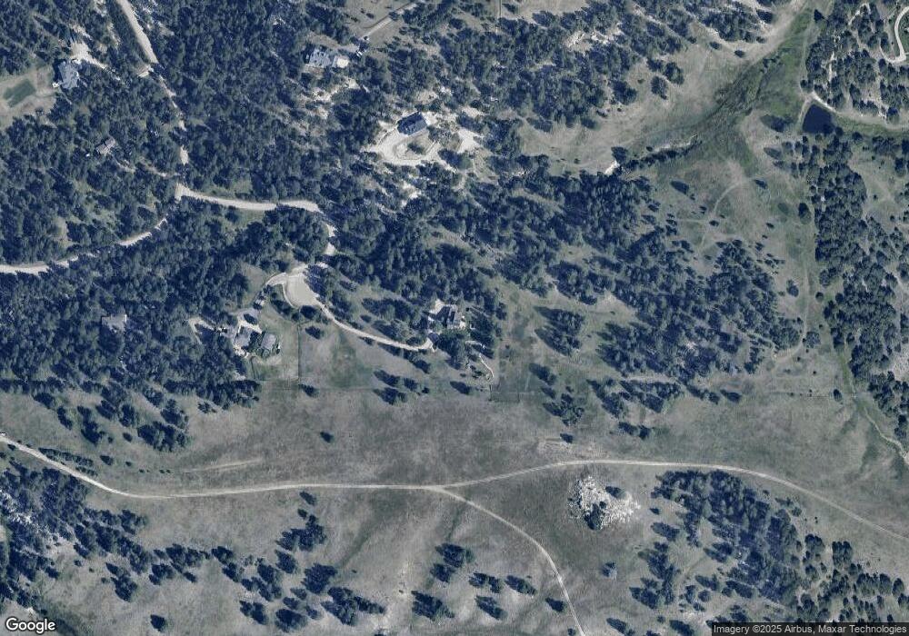
Map
Nearby Homes
- 11274 E Manitou Rd
- 2072 Summit St
- 1972 Gold Camp Way
- 30999 Kootney St
- 210 High Meadows Loop
- 0 Kootney St
- 1559 Apex Rd
- 1341 Tomichi Dr
- 31203 Longhorn Cir
- 1133 Tomichi Dr
- 575 Heritage Trail
- 1571 Arrowpoint Ct
- 1561 Arrowpoint Ct
- 1555 Arrowpoint Ct
- 30064 Imperial Point
- 30293 Imperial Point
- 30344 Imperial Point
- 30343 Imperial Point
- 30294 Imperial Point
- 30194 Imperial Point
- 11311 E Manitou Rd
- 2243 Summit St
- 2280 S Placer St
- 2225 Placer St
- 2230 Summit St
- 2155 Placer St
- 2140 S Placer St
- 2171 Summit St
- 11076 Patterson Cir
- 2379 S Placer St
- 2055 Placer St
- 2075 Summit St
- 2153 Gold Camp Way Unit 6
- 2409 S Placer St
- 2463 Placer St
- 2051 Gold Camp Way Unit 5
- 2205 Gold Camp Way
- 10874 Patterson Cir
- 1981 Summit St
- 11340 Tomichi Dr