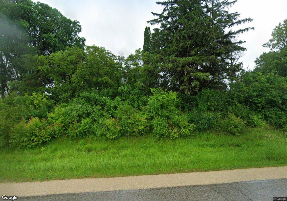
11348 Highway 63 N Rochester, MN 55906
Estimated Value: $713,000
4
Beds
3
Baths
1,484
Sq Ft
$480/Sq Ft
Est. Value
About This Home
This home is located at 11348 Highway 63 N, Rochester, MN 55906 and is currently estimated at $713,000, approximately $480 per square foot. 11348 Highway 63 N is a home located in Olmsted County with nearby schools including Plainview-Elgin-Millville Elementary School (PK-3), Plainview-Elgin-Millville Elementary School (4-6), and Plainview-Elgin-Millville Junior High School.
Ownership History
Date
Name
Owned For
Owner Type
Purchase Details
Closed on
Dec 1, 2010
Sold by
Wagner Martin A and Wagner Carol A
Bought by
Wagner Daniel M and Wagner Janet A
Current Estimated Value
Home Financials for this Owner
Home Financials are based on the most recent Mortgage that was taken out on this home.
Original Mortgage
$10,699
Interest Rate
4.23%
Mortgage Type
Seller Take Back
Create a Home Valuation Report for This Property
The Home Valuation Report is an in-depth analysis detailing your home's value as well as a comparison with similar homes in the area
Home Values in the Area
Average Home Value in this Area
Purchase History
| Date | Buyer | Sale Price | Title Company |
|---|---|---|---|
| Wagner Daniel M | $180,000 | None Available |
Source: Public Records
Mortgage History
| Date | Status | Borrower | Loan Amount |
|---|---|---|---|
| Closed | Wagner Daniel M | $10,699 |
Source: Public Records
Tax History Compared to Growth
Tax History
| Year | Tax Paid | Tax Assessment Tax Assessment Total Assessment is a certain percentage of the fair market value that is determined by local assessors to be the total taxable value of land and additions on the property. | Land | Improvement |
|---|---|---|---|---|
| 2024 | $5,444 | $776,500 | $768,000 | $8,500 |
| 2023 | $5,174 | $741,600 | $733,100 | $8,500 |
| 2022 | $4,287 | $587,400 | $578,900 | $8,500 |
| 2021 | $3,990 | $482,100 | $473,600 | $8,500 |
| 2020 | $4,149 | $482,100 | $473,600 | $8,500 |
| 2019 | $4,264 | $494,100 | $485,600 | $8,500 |
| 2018 | $3,899 | $494,100 | $485,600 | $8,500 |
| 2017 | $3,936 | $503,500 | $495,000 | $8,500 |
| 2016 | $3,828 | $529,600 | $521,100 | $8,500 |
| 2015 | $3,734 | $529,600 | $521,100 | $8,500 |
| 2014 | -- | $724,000 | $715,500 | $8,500 |
| 2012 | -- | $554,400 | $545,900 | $8,500 |
Source: Public Records
Map
Nearby Homes
- xxxx (Parcel 3) White Bridge Rd NE
- xxxx (Parcel 2) White Bridge Rd NE
- xxx White Bridge Rd NE
- 10482 11th Ave NE
- TBD Sandy Point Ct NE
- 0 Tbd White Bridge Rd NE Unit LotWP001
- 56060 375th Ave
- 271 Sandy Point Ct NE
- 11355 Cedar Beach Dr NW
- TBD County Road 121 NE
- 170 Fisherman Dr NW
- XXXX Cedar Beach Dr NW
- TBD Tennis Ln NW
- xxxxB Kings Park Rd NW
- xxxxC Kings Park Rd NW
- 771 Zumbro Oaks Ln NW
- TBD Sunset Bay Rd
- TBD 375th Ave
- XXXX 375th Ave
- 6831 247 Hwy NE
- 11327 Highway 63 N
- 11243 Highway 63 N
- 11441 Us Highway 63
- 11441 Highway 63 N
- 11212 Highway 63 N
- 11607 Highway 63 N
- 3323 Highway 247
- 10930 Highway 63 N
- 10905 Highway 63 N
- 3510 Highway 247
- 11968 NE Highway 63
- 10712 Highway 63 N
- 12005 Highway 63 N
- 12110 12110 63-Highway-ne
- 12110 Us Highway 63
- 12110 Highway 63 N
- 10519 Highway 63 N
- 2213 White Bridge Rd NE
- 2136 White Bridge Rd NE
- 11421 40th Ave NE
