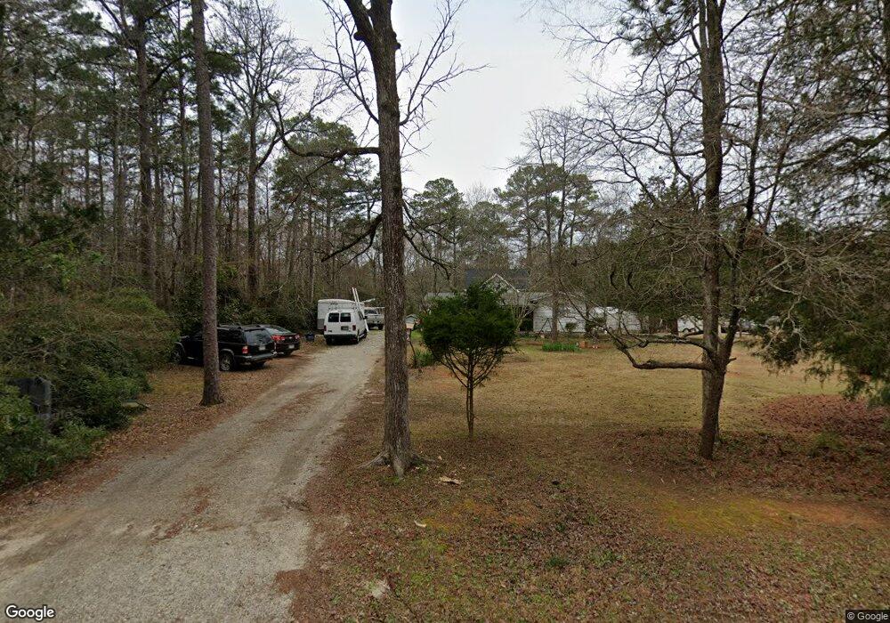
1135 Apachee Dr Lincolnton, GA 30817
Estimated Value: $101,123 - $244,000
1
Bed
1
Bath
840
Sq Ft
$205/Sq Ft
Est. Value
About This Home
This home is located at 1135 Apachee Dr, Lincolnton, GA 30817 and is currently estimated at $172,531, approximately $205 per square foot. 1135 Apachee Dr is a home located in Lincoln County with nearby schools including Lincoln County Elementary School, Lincoln County Middle School, and Lincoln County High School.
Ownership History
Date
Name
Owned For
Owner Type
Purchase Details
Closed on
May 6, 2019
Sold by
Anderson William Alan
Bought by
Darby Harry Patrick and Darby Nancy Jane
Current Estimated Value
Home Financials for this Owner
Home Financials are based on the most recent Mortgage that was taken out on this home.
Original Mortgage
$68,000
Outstanding Balance
$59,289
Interest Rate
4%
Mortgage Type
New Conventional
Estimated Equity
$113,242
Purchase Details
Closed on
Feb 4, 2003
Sold by
Anderson W A Estate
Bought by
Anderson Elizabeth W
Purchase Details
Closed on
Apr 28, 1994
Sold by
Shinn Otis G
Bought by
Anderson Anderson W and Anderson Elizabeth
Purchase Details
Closed on
Jan 14, 1986
Sold by
Stone Viola
Bought by
Shinn Otis G
Purchase Details
Closed on
Nov 15, 1985
Sold by
Garbow Philip
Bought by
Stone Viola
Purchase Details
Closed on
Dec 9, 1982
Sold by
Garbow Marion
Bought by
Garbow Philip
Purchase Details
Closed on
Jun 10, 1966
Sold by
Mid States Homes
Bought by
Garbow Marion
Create a Home Valuation Report for This Property
The Home Valuation Report is an in-depth analysis detailing your home's value as well as a comparison with similar homes in the area
Purchase History
| Date | Buyer | Sale Price | Title Company |
|---|---|---|---|
| Darby Harry Patrick | $85,000 | -- | |
| Anderson Elizabeth W | -- | -- | |
| Anderson Anderson W | $40,000 | -- | |
| Shinn Otis G | $24,000 | -- | |
| Stone Viola | $24,000 | -- | |
| Garbow Philip | -- | -- | |
| Garbow Marion | $3,200 | -- |
Source: Public Records
Mortgage History
| Date | Status | Borrower | Loan Amount |
|---|---|---|---|
| Open | Darby Harry Patrick | $68,000 |
Source: Public Records
Tax History
| Year | Tax Paid | Tax Assessment Tax Assessment Total Assessment is a certain percentage of the fair market value that is determined by local assessors to be the total taxable value of land and additions on the property. | Land | Improvement |
|---|---|---|---|---|
| 2025 | $979 | $27,860 | $3,840 | $24,020 |
| 2024 | $905 | $25,860 | $3,840 | $22,020 |
| 2023 | $611 | $23,220 | $3,840 | $19,380 |
| 2022 | $781 | $22,460 | $3,840 | $18,620 |
| 2021 | $791 | $20,728 | $3,840 | $16,888 |
| 2020 | $768 | $17,088 | $3,840 | $13,248 |
| 2019 | $769 | $17,088 | $3,840 | $13,248 |
| 2018 | $537 | $17,088 | $3,840 | $13,248 |
| 2017 | $475 | $15,112 | $2,280 | $12,832 |
| 2016 | $648 | $15,112 | $2,280 | $12,832 |
| 2015 | -- | $15,112 | $2,280 | $12,832 |
| 2014 | -- | $15,112 | $2,280 | $12,832 |
| 2013 | -- | $15,112 | $2,280 | $12,832 |
Source: Public Records
Map
Nearby Homes
- 1647A White Oak Rd
- 1703 White Oak Rd
- 4 Mosley Rd
- 1250 Mosley Rd
- 3 Mosley Rd
- 2 Mosley Rd
- Na Camp Daniel Marshall Rd
- LOT 22 Plantation Point Rd
- 00 Bonner Rd
- 1038 Pleasantview Cir
- 1046 Holloway Rd
- 1102 Dogwood Dr
- 4232 Double Branches Rd
- 4179 Waters Edge Ln
- 6710 Washington Rd
- 1038 Fleming Lake Ct
- 1080 Serenity Pointe Dr
- Lot 1-E Ridge Rd
- LOT B Ridge Rd
- LOT C Ridge Rd
- 7 Apachee Dr
- 8 Apachee Dr
- 1150 Apachee Dr
- 1165 Apachee Dr
- 1160 Apachee Dr
- 1074 Apachee Dr
- 1074 Apachee Dr
- 1730 Comanche Cir
- 1170 Apachee Dr
- 1058 Apachee Dr
- 1090 Apachee Dr
- 1080 Apachee Dr
- 1750 Comanche Cir
- 1160 Comanche Cir
- 1180 Apachee Dr
- 1104 Comanche Cir
- 1770 Comanche Cir
- 1106 Comanche Cir
- 1760 Comanche Cir
- 1140 Comanche Cir
Your Personal Tour Guide
Ask me questions while you tour the home.