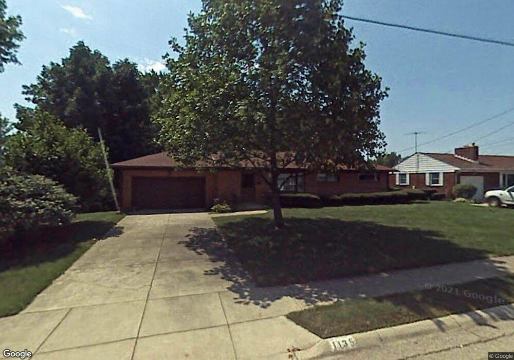
1135 Torrence Dr Springfield, OH 45503
Estimated Value: $197,013 - $218,000
3
Beds
3
Baths
1,273
Sq Ft
$162/Sq Ft
Est. Value
About This Home
This home is located at 1135 Torrence Dr, Springfield, OH 45503 and is currently estimated at $206,253, approximately $162 per square foot. 1135 Torrence Dr is a home located in Clark County with nearby schools including Kenton Elementary School, Roosevelt Middle School, and Northwest Early College High School.
Ownership History
Date
Name
Owned For
Owner Type
Purchase Details
Closed on
Jan 15, 2016
Sold by
Geers Thomas J
Bought by
Lewis Vincent T
Current Estimated Value
Home Financials for this Owner
Home Financials are based on the most recent Mortgage that was taken out on this home.
Original Mortgage
$87,878
Outstanding Balance
$69,259
Interest Rate
3.93%
Mortgage Type
FHA
Estimated Equity
$136,994
Purchase Details
Closed on
Aug 25, 1986
Sold by
Pratt Nola D
Bought by
Geers Ann E
Create a Home Valuation Report for This Property
The Home Valuation Report is an in-depth analysis detailing your home's value as well as a comparison with similar homes in the area
Home Values in the Area
Average Home Value in this Area
Purchase History
| Date | Buyer | Sale Price | Title Company |
|---|---|---|---|
| Lewis Vincent T | $89,500 | Team Title & Closing Service | |
| Geers Ann E | $66,000 | -- |
Source: Public Records
Mortgage History
| Date | Status | Borrower | Loan Amount |
|---|---|---|---|
| Open | Lewis Vincent T | $87,878 |
Source: Public Records
Tax History Compared to Growth
Tax History
| Year | Tax Paid | Tax Assessment Tax Assessment Total Assessment is a certain percentage of the fair market value that is determined by local assessors to be the total taxable value of land and additions on the property. | Land | Improvement |
|---|---|---|---|---|
| 2025 | $2,193 | $58,290 | $11,050 | $47,240 |
| 2024 | $2,136 | $44,320 | $10,110 | $34,210 |
| 2023 | $2,136 | $44,320 | $10,110 | $34,210 |
| 2022 | $2,188 | $44,320 | $10,110 | $34,210 |
| 2021 | $1,841 | $34,440 | $7,900 | $26,540 |
| 2020 | $1,846 | $34,440 | $7,900 | $26,540 |
| 2019 | $1,850 | $34,440 | $7,900 | $26,540 |
| 2018 | $1,900 | $33,970 | $8,690 | $25,280 |
| 2017 | $1,899 | $35,385 | $8,687 | $26,698 |
| 2016 | $1,901 | $35,385 | $8,687 | $26,698 |
| 2015 | $1,162 | $32,620 | $7,896 | $24,724 |
| 2014 | $1,157 | $32,620 | $7,896 | $24,724 |
| 2013 | $1,144 | $32,620 | $7,896 | $24,724 |
Source: Public Records
Map
Nearby Homes
- 2553 Derr Rd
- 1001 Imperial Blvd
- 2752 Woodford Dr
- 2933 Stonehaven Dr
- 1233 Vester Ave
- 2545 Casey Dr
- 1225 Vester Ave
- 2813 Wellsford Dr
- 1046 Fruitland Rd
- 3144 El Camino Dr
- 2824 Balsam Dr
- 647 Villa Rd Unit A
- 545 Argonne Ave Unit 545
- 1811 Devon Dr
- 2540 Rebecca Dr
- 1924 Marinette Dr
- 542 Villa Rd
- 2951 Archer Ln
- 2529 Marinette Dr
- 3131 Revels St
- 1125 Torrence Dr
- 1201 Torrence Dr
- 1134 Torrence Dr
- 1209 Torrence Dr
- 2686 Home Orchard Dr
- 1126 Torrence Dr
- 1200 Torrence Dr
- 2684 Home Orchard Dr
- 1210 Torrence Dr
- 1116 Torrence Dr
- 1217 Torrence Dr
- 2680 Home Orchard Dr
- 1123 Imperial Blvd
- 1133 Imperial Blvd
- 1113 Imperial Blvd
- 1218 Torrence Dr
- 1025 Torrence Dr
- 2824 Home Orchard Dr
- 1201 Imperial Blvd
- 2683 Home Orchard Dr