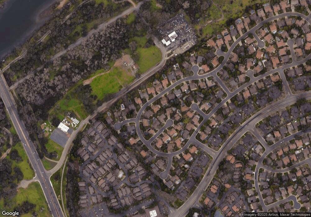
11350 Mother Lode Cir Gold River, CA 95670
Estimated Value: $663,505 - $800,000
3
Beds
2
Baths
2,015
Sq Ft
$368/Sq Ft
Est. Value
About This Home
This home is located at 11350 Mother Lode Cir, Gold River, CA 95670 and is currently estimated at $742,126, approximately $368 per square foot. 11350 Mother Lode Cir is a home located in Sacramento County with nearby schools including Gold River Discovery Center, Rio Americano High School, and Saint Mel Catholic School.
Ownership History
Date
Name
Owned For
Owner Type
Purchase Details
Closed on
Jun 13, 2018
Sold by
Geankoplis Brad and Geankoplis Connie L
Bought by
Brouwer Catherine Marie
Current Estimated Value
Purchase Details
Closed on
Oct 30, 2013
Sold by
Hancock John D and Hancock Mehrnoush
Bought by
Hancock John D and Hancock Mehrnoush D
Purchase Details
Closed on
Aug 20, 2013
Sold by
Hancock John D
Bought by
Hancock Mehrndush D and Hancock John D
Purchase Details
Closed on
Mar 27, 2001
Sold by
Holiday Judd C and Holiday Margaret A
Bought by
Hancock John D
Home Financials for this Owner
Home Financials are based on the most recent Mortgage that was taken out on this home.
Original Mortgage
$247,200
Interest Rate
7.06%
Create a Home Valuation Report for This Property
The Home Valuation Report is an in-depth analysis detailing your home's value as well as a comparison with similar homes in the area
Home Values in the Area
Average Home Value in this Area
Purchase History
| Date | Buyer | Sale Price | Title Company |
|---|---|---|---|
| Brouwer Catherine Marie | $585,000 | Placer Title Company | |
| Hancock John D | -- | None Available | |
| Hancock Mehrndush D | -- | None Available | |
| Hancock John D | $309,000 | Chicago Title Co |
Source: Public Records
Mortgage History
| Date | Status | Borrower | Loan Amount |
|---|---|---|---|
| Previous Owner | Hancock John D | $247,200 | |
| Closed | Hancock John D | $30,900 |
Source: Public Records
Tax History Compared to Growth
Tax History
| Year | Tax Paid | Tax Assessment Tax Assessment Total Assessment is a certain percentage of the fair market value that is determined by local assessors to be the total taxable value of land and additions on the property. | Land | Improvement |
|---|---|---|---|---|
| 2025 | $5,614 | $465,591 | $90,399 | $375,192 |
| 2024 | $5,614 | $456,463 | $88,627 | $367,836 |
| 2023 | $5,471 | $447,514 | $86,890 | $360,624 |
| 2022 | $5,437 | $438,740 | $85,187 | $353,553 |
| 2021 | $5,344 | $430,138 | $83,517 | $346,621 |
| 2020 | $5,244 | $425,728 | $82,661 | $343,067 |
| 2019 | $5,137 | $417,382 | $81,041 | $336,341 |
| 2018 | $5,075 | $409,199 | $79,452 | $329,747 |
| 2017 | $5,023 | $401,177 | $77,895 | $323,282 |
| 2016 | $4,635 | $393,312 | $76,368 | $316,944 |
| 2015 | $4,556 | $387,405 | $75,221 | $312,184 |
| 2014 | $4,461 | $379,817 | $73,748 | $306,069 |
Source: Public Records
Map
Nearby Homes
- 11303 Gold Country Blvd
- 11285 Gold Country Blvd
- 1911 Discovery Village Ln
- 2002 Discovery Village Ln
- 2206 Promontory Point Ln
- 1833 Discovery Village Ln
- 11305 Sutters Mill Cir
- 11438 Mother Lode Cir
- 11360 Gold Country Blvd
- 11267 Crocker Grove Ln
- 11218 Platte River Ct
- 0 River Front Ln
- 2074 Gray Eagle Ct
- 0 Ridge St Unit 225129517
- 0 Ridge St Unit 224054501
- 11416 Treasure Hill Ct
- 11469 Tunnel Hill Way
- 4079 Bridge St
- 7649 Ridge St
- 11457 Huntington Village Ln Unit 18
- 11354 Mother Lode Cir
- 11340 Mother Lode Cir
- 11259 Picture Rock Ct
- 11263 Picture Rock Ct
- 11255 Picture Rock Ct
- 11347 Mother Lode Cir
- 11351 Mother Lode Cir
- 11358 Mother Lode Cir
- 11334 Mother Lode Cir
- 11343 Mother Lode Cir
- 11355 Mother Lode Cir
- 11266 Picture Rock Ct
- 11339 Mother Lode Cir
- 11362 Mother Lode Cir
- 11251 Picture Rock Ct
- 11270 Serpentine Ct
- 11359 Mother Lode Cir
- 11258 Picture Rock Ct
- 11262 Picture Rock Ct
- 11254 Picture Rock Ct
