1136 Cheston Ln Queenstown, MD 21658
Estimated Value: $3,215,000 - $4,482,965
--
Bed
9
Baths
7,306
Sq Ft
$505/Sq Ft
Est. Value
About This Home
This home is located at 1136 Cheston Ln, Queenstown, MD 21658 and is currently estimated at $3,691,655, approximately $505 per square foot. 1136 Cheston Ln is a home located in Queen Anne's County with nearby schools including Centreville Elementary School, Kennard Elementary School, and Centreville Middle School.
Ownership History
Date
Name
Owned For
Owner Type
Purchase Details
Closed on
Aug 24, 2021
Sold by
Malm Kenneth G and Malm Nancy J
Bought by
Malm Kenneth G and Kenneth G Malm Revocable Trust
Current Estimated Value
Purchase Details
Closed on
Dec 29, 2003
Sold by
Reaves Robert J and Reaves Rita A
Bought by
Malm Kenneth G and Malm Nancy J
Purchase Details
Closed on
Jan 14, 2003
Sold by
Burchell Edward A
Bought by
Reaves Robert J and Reaves Rita A
Purchase Details
Closed on
Mar 27, 1998
Sold by
Burchell Edward A
Bought by
Burchell Edward A and Burchell Rosemary L
Create a Home Valuation Report for This Property
The Home Valuation Report is an in-depth analysis detailing your home's value as well as a comparison with similar homes in the area
Home Values in the Area
Average Home Value in this Area
Purchase History
| Date | Buyer | Sale Price | Title Company |
|---|---|---|---|
| Malm Kenneth G | -- | None Available | |
| Malm Kenneth G | $1,325,000 | -- | |
| Reaves Robert J | $1,145,000 | -- | |
| Burchell Edward A | -- | -- |
Source: Public Records
Mortgage History
| Date | Status | Borrower | Loan Amount |
|---|---|---|---|
| Closed | Reaves Robert J | -- |
Source: Public Records
Tax History Compared to Growth
Tax History
| Year | Tax Paid | Tax Assessment Tax Assessment Total Assessment is a certain percentage of the fair market value that is determined by local assessors to be the total taxable value of land and additions on the property. | Land | Improvement |
|---|---|---|---|---|
| 2025 | $33,196 | $3,517,667 | $0 | $0 |
| 2024 | $31,219 | $3,307,700 | $810,200 | $2,497,500 |
| 2023 | $30,920 | $3,276,000 | $0 | $0 |
| 2022 | $30,621 | $3,244,300 | $0 | $0 |
| 2021 | $0 | $3,212,600 | $810,200 | $2,402,400 |
| 2020 | $30,872 | $3,212,600 | $810,200 | $2,402,400 |
| 2019 | $30,872 | $3,212,600 | $810,200 | $2,402,400 |
| 2018 | $37,628 | $3,917,000 | $1,043,900 | $2,873,100 |
| 2017 | $37,628 | $3,917,000 | $0 | $0 |
| 2016 | -- | $3,917,000 | $0 | $0 |
| 2015 | $38,703 | $4,032,200 | $0 | $0 |
| 2014 | $38,703 | $4,032,200 | $0 | $0 |
Source: Public Records
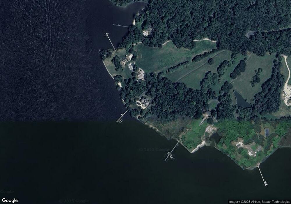
Map
Nearby Homes
- 1150 Cheston Ln
- 100 Marlborough Rd
- 405 Cove Rd
- 618 Pigpen Point Rd
- 2006 Bennett Point Rd
- 4 Bunker Ct
- 4 Fairway Island
- 115 Masters Way
- 16 Fairway Island
- 29 Fairway Island
- 20 Prospect Bay Dr W
- 205 Piney Point Landing
- 1326 Perrys Corner Rd
- 26546 Presquile Dr N
- 144 River Run
- 11977 Billys Point Ln
- 3021 Bennett Point Rd
- 3027 Bennett Point Rd
- 0 Grasonville Cemetery Rd
- 317 Caspian Dr