1136 Cooks Rd Mount Juliet, TN 37122
Estimated Value: $436,000 - $586,000
--
Bed
1
Bath
648
Sq Ft
$752/Sq Ft
Est. Value
About This Home
This home is located at 1136 Cooks Rd, Mount Juliet, TN 37122 and is currently estimated at $487,219, approximately $751 per square foot. 1136 Cooks Rd is a home located in Wilson County with nearby schools including West Elementary School, West Wilson Middle School, and Mt. Juliet High School.
Ownership History
Date
Name
Owned For
Owner Type
Purchase Details
Closed on
Aug 24, 2021
Sold by
Miller Karen Rae
Bought by
Miller Michael John
Current Estimated Value
Purchase Details
Closed on
Jul 11, 2006
Sold by
Miller Karen R
Bought by
North 109 Partnership Llc
Purchase Details
Closed on
Sep 10, 2001
Bought by
Miller Larry J and Miller Karen Rae
Purchase Details
Closed on
Dec 20, 1993
Bought by
Miller Larry J and Miller Karen Rae
Purchase Details
Closed on
Oct 8, 1990
Bought by
Miller Larry J and Karen Rae
Create a Home Valuation Report for This Property
The Home Valuation Report is an in-depth analysis detailing your home's value as well as a comparison with similar homes in the area
Home Values in the Area
Average Home Value in this Area
Purchase History
| Date | Buyer | Sale Price | Title Company |
|---|---|---|---|
| Miller Michael John | -- | Horizon Land Title | |
| Miller Lawrence Scott | -- | Horizon Land Title Inc | |
| Miller Michael John | -- | Horizon Land Title Inc | |
| North 109 Partnership Llc | $756,840 | -- | |
| Miller Larry J | $194,400 | -- | |
| Miller Larry J | $110,000 | -- | |
| Miller Larry J | -- | -- | |
| D'Antonio Richard Frank | $38,000 | -- |
Source: Public Records
Tax History Compared to Growth
Tax History
| Year | Tax Paid | Tax Assessment Tax Assessment Total Assessment is a certain percentage of the fair market value that is determined by local assessors to be the total taxable value of land and additions on the property. | Land | Improvement |
|---|---|---|---|---|
| 2024 | $749 | $39,250 | $26,475 | $12,775 |
| 2022 | $749 | $39,250 | $26,475 | $12,775 |
| 2021 | $1,044 | $67,875 | $55,100 | $12,775 |
| 2020 | $987 | $54,675 | $41,900 | $12,775 |
| 2019 | $987 | $39,200 | $29,400 | $9,800 |
| 2018 | $987 | $39,200 | $29,400 | $9,800 |
| 2017 | $987 | $39,200 | $29,400 | $9,800 |
| 2016 | $987 | $39,200 | $29,400 | $9,800 |
| 2015 | $1,008 | $39,200 | $29,400 | $9,800 |
| 2014 | $821 | $31,947 | $0 | $0 |
Source: Public Records
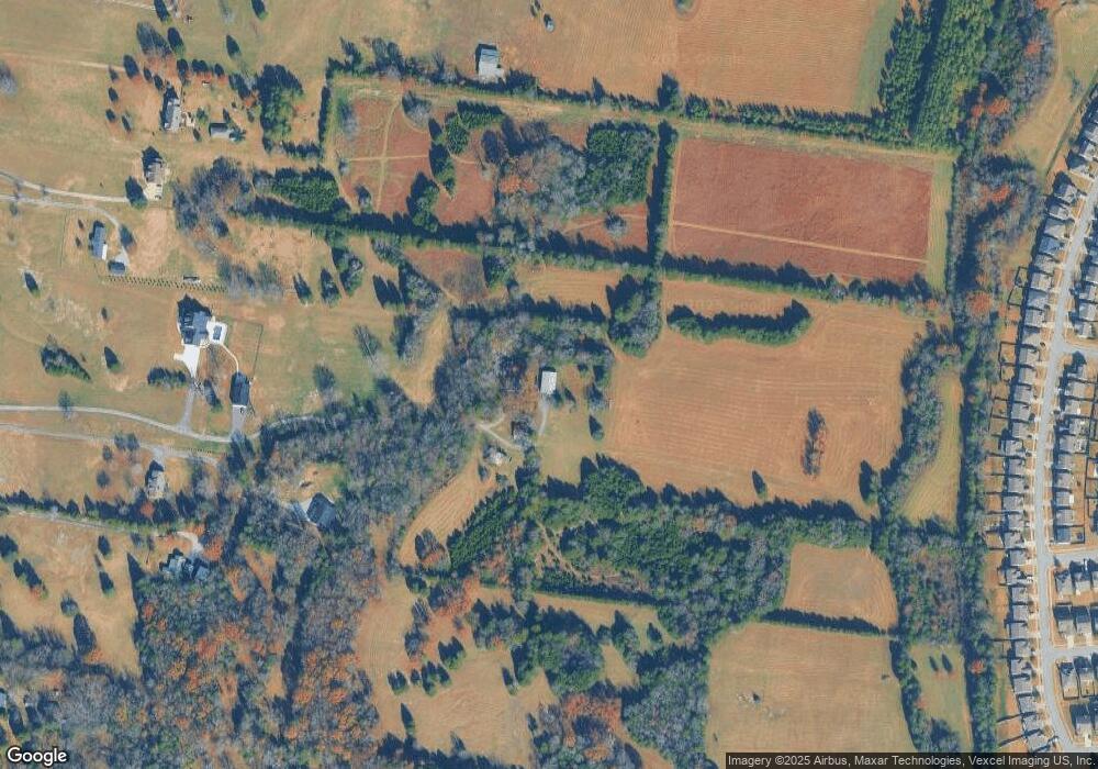
Map
Nearby Homes
- 108 Suggs Dr
- 455 Owl Dr
- 607 Pemberton Dr
- 613 Pemberton Dr
- 515 Rock Island Way
- 1 Cooks Rd
- 1403 Old Hebron Rd
- 106 Scotts Dr
- 1415 Old Stone Rd
- 1110 Pickett Rd
- 84 Gibson Dr
- 1220 Lumsley Dr
- 2154 Houston Bend
- 854 Arcadia Pass
- 910 Knollwood Landing
- 1608 Standing Stone Dr
- 2007 Lindsey Way
- 355 Gibson Dr
- 608 Grange Way
- 2108 Houston Bend