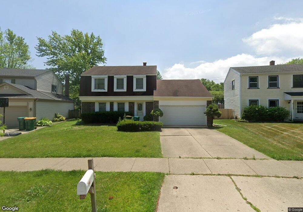
1137 Devonshire Rd Buffalo Grove, IL 60089
Prairie Park-Lake County NeighborhoodEstimated Value: $371,000 - $505,000
Studio
2
Baths
1,716
Sq Ft
$258/Sq Ft
Est. Value
About This Home
This home is located at 1137 Devonshire Rd, Buffalo Grove, IL 60089 and is currently estimated at $441,941, approximately $257 per square foot. 1137 Devonshire Rd is a home located in Lake County with nearby schools including Prairie Elementary School, Twin Groves Middle School, and Adlai E Stevenson High School.
Ownership History
Date
Name
Owned For
Owner Type
Purchase Details
Closed on
May 17, 2002
Sold by
Kim Pal Gon and Kim Kyung R
Bought by
Shin Won Tae and Shin Jae Ron
Current Estimated Value
Home Financials for this Owner
Home Financials are based on the most recent Mortgage that was taken out on this home.
Original Mortgage
$180,000
Interest Rate
6.91%
Purchase Details
Closed on
May 26, 1998
Sold by
Hafft David A and Hafft Linda P
Bought by
Kim Pal Gon and Kim Kyung R
Home Financials for this Owner
Home Financials are based on the most recent Mortgage that was taken out on this home.
Original Mortgage
$136,000
Interest Rate
7.62%
Purchase Details
Closed on
Nov 18, 1994
Sold by
Hafft David A and Hafft Linda P
Bought by
Hafft David A and Hafft Linda P
Create a Home Valuation Report for This Property
The Home Valuation Report is an in-depth analysis detailing your home's value as well as a comparison with similar homes in the area
Home Values in the Area
Average Home Value in this Area
Purchase History
| Date | Buyer | Sale Price | Title Company |
|---|---|---|---|
| Shin Won Tae | $243,500 | -- | |
| Kim Pal Gon | $170,000 | Ticor Title | |
| Hafft David A | -- | -- |
Source: Public Records
Mortgage History
| Date | Status | Borrower | Loan Amount |
|---|---|---|---|
| Previous Owner | Shin Won Tae | $180,000 | |
| Previous Owner | Kim Pal Gon | $136,000 |
Source: Public Records
Tax History
| Year | Tax Paid | Tax Assessment Tax Assessment Total Assessment is a certain percentage of the fair market value that is determined by local assessors to be the total taxable value of land and additions on the property. | Land | Improvement |
|---|---|---|---|---|
| 2024 | $10,571 | $117,696 | $26,686 | $91,010 |
| 2023 | $10,055 | $111,055 | $25,180 | $85,875 |
| 2022 | $10,055 | $102,429 | $23,224 | $79,205 |
| 2021 | $9,672 | $101,325 | $22,974 | $78,351 |
| 2020 | $9,445 | $101,670 | $23,052 | $78,618 |
| 2019 | $9,316 | $101,295 | $22,967 | $78,328 |
| 2018 | $4,937 | $102,606 | $22,698 | $79,908 |
| 2017 | $8,975 | $100,211 | $22,168 | $78,043 |
| 2016 | $8,735 | $95,960 | $21,228 | $74,732 |
| 2015 | $8,494 | $89,741 | $19,852 | $69,889 |
| 2014 | $7,702 | $80,831 | $21,321 | $59,510 |
| 2012 | $7,651 | $80,993 | $21,364 | $59,629 |
Source: Public Records
Map
Nearby Homes
- 1234 Devonshire Rd
- 1265 Devonshire Rd
- 1318 Gail Dr Unit 4
- 1152 Courtland Dr Unit 406
- 1361 Brandywyn Ln
- 810 Silver Rock Ln
- 1380 Larchmont Dr
- 1161 Parker Ln
- 962 Thompson Blvd
- 327 Lasalle Ln
- 5107 N Arlington Heights Rd
- 5176 Aptakisic Rd
- 531 Lasalle Ln
- 1265 Franklin Ln Unit L1
- 1325 Fairfax Ln
- 938 Hidden Lake Dr
- 1096 Pine Tree Cir N
- 533 Lyon Dr
- 5135 Bridlewood Ct
- 440 Burnt Ember Ln
- 1133 Devonshire Rd
- 1129 Devonshire Rd
- 1145 Devonshire Rd
- 1134 Devonshire Rd
- 1144 Devonshire Rd
- 1125 Devonshire Rd
- 1151 Devonshire Rd
- 1124 Devonshire Rd
- 1154 Devonshire Rd
- 861 Belmar Ln
- 871 Belmar Ln
- 1155 Dayton Rd
- 1121 Devonshire Rd
- 1157 Devonshire Rd
- 851 Belmar Ln
- 881 Belmar Ln
- 1165 Dayton Rd
- 1164 Devonshire Rd
- 1116 Devonshire Rd
- 891 Belmar Ln
Your Personal Tour Guide
Ask me questions while you tour the home.