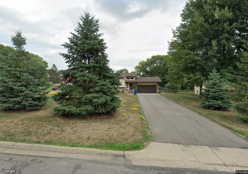
1138 1st Ave N Sauk Rapids, MN 56379
Estimated Value: $276,000 - $294,474
3
Beds
1
Bath
1,076
Sq Ft
$265/Sq Ft
Est. Value
About This Home
This home is located at 1138 1st Ave N, Sauk Rapids, MN 56379 and is currently estimated at $285,619, approximately $265 per square foot. 1138 1st Ave N is a home located in Benton County with nearby schools including Pleasant View Elementary School, Sauk Rapids-Rice Middle School, and Sauk Rapids-Rice Senior High School.
Create a Home Valuation Report for This Property
The Home Valuation Report is an in-depth analysis detailing your home's value as well as a comparison with similar homes in the area
Home Values in the Area
Average Home Value in this Area
Tax History Compared to Growth
Tax History
| Year | Tax Paid | Tax Assessment Tax Assessment Total Assessment is a certain percentage of the fair market value that is determined by local assessors to be the total taxable value of land and additions on the property. | Land | Improvement |
|---|---|---|---|---|
| 2025 | $3,374 | $272,300 | $34,300 | $238,000 |
| 2024 | $3,086 | $260,900 | $34,300 | $226,600 |
| 2023 | $2,906 | $264,700 | $34,300 | $230,400 |
| 2022 | $2,718 | $230,800 | $31,200 | $199,600 |
| 2021 | $2,478 | $199,800 | $31,200 | $168,600 |
| 2018 | $2,088 | $145,100 | $26,019 | $119,081 |
| 2017 | $2,088 | $125,600 | $25,221 | $100,379 |
| 2016 | $2,048 | $146,600 | $30,000 | $116,600 |
| 2015 | $2,064 | $113,200 | $24,609 | $88,591 |
| 2014 | -- | $107,100 | $24,267 | $82,833 |
| 2013 | -- | $104,400 | $24,111 | $80,289 |
Source: Public Records
Map
Nearby Homes
- 314 Pleasant Ridge Dr
- 702 N Benton Dr
- 709 N Benton Dr
- 18th 18th
- 390 18th Street Ct NW
- 1018 N Benton Dr
- 870 18th St NW
- 820 18th St NW
- 224 9th St N
- 1914 N Benton Dr
- 1804 Oak Pond Dr
- 1806 Oak Pond Dr
- 1209 Oak Pond Dr
- 32608 River Vista Ln
- 752 12th St N
- 932 Oak Pond Ct
- 1809 Eastern Star Loop
- 615 3rd Ave N
- 32467 County Road 1
- 2012 N Benton Dr
- 1132 1st Ave N
- 1137 2nd Ave N
- 1137 1137 2nd Ave N
- 1126 1126 1st-Avenue-n
- 1126 1st Ave N
- 1133 2nd Ave N
- 1200 1st Ave N
- 1129 2nd Ave N
- 1135 1st Ave N
- 1125 1st Ave N
- 1120 1st Ave N
- 1131 1st Ave N
- 1207 2nd Ave N
- 1125 2nd Ave N
- 1125 2nd Ave N
- 1116 1st Ave N
- 1119 4 1/2 Ave N
- 1119 1st Ave N
- 1115 2nd Ave N
- 107 11th St N