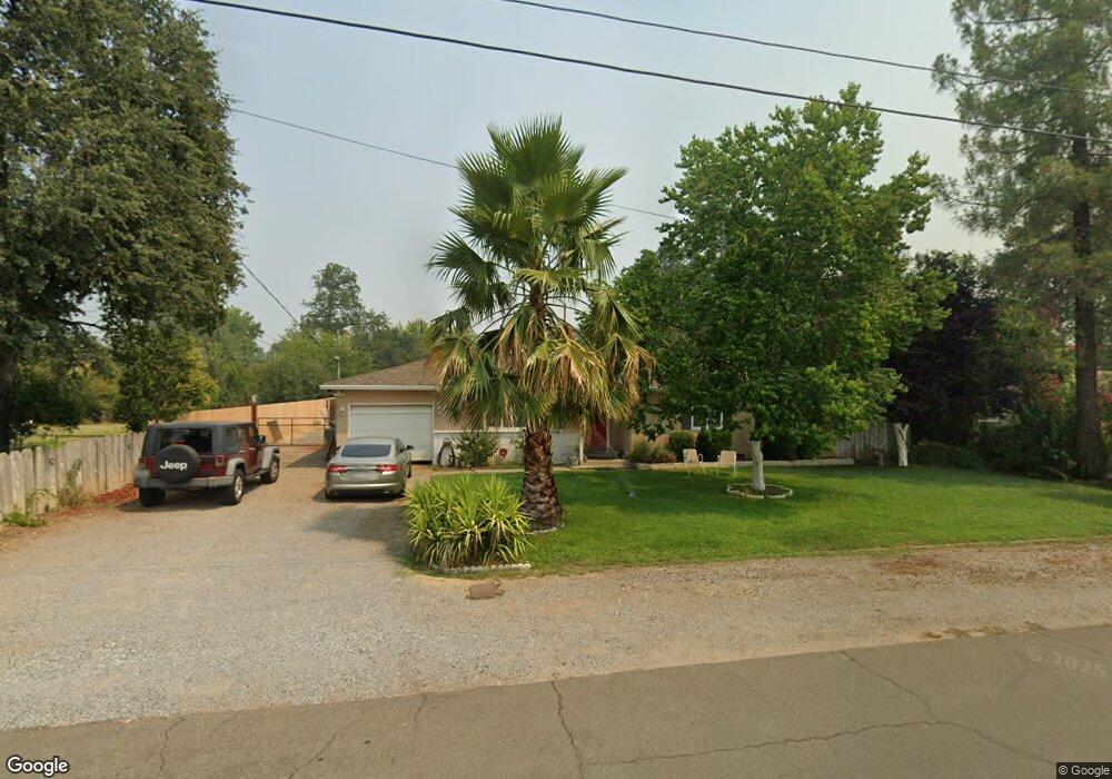
1138 Dusty Ln Redding, CA 96002
Mistletoe NeighborhoodEstimated Value: $266,000 - $345,000
3
Beds
2
Baths
1,283
Sq Ft
$238/Sq Ft
Est. Value
About This Home
This home is located at 1138 Dusty Ln, Redding, CA 96002 and is currently estimated at $305,816, approximately $238 per square foot. 1138 Dusty Ln is a home located in Shasta County with nearby schools including Mistletoe Elementary School, Enterprise High School, and Trinity Lutheran School.
Ownership History
Date
Name
Owned For
Owner Type
Purchase Details
Closed on
May 22, 2001
Sold by
Harris Edna Dolores
Bought by
Richards James L
Current Estimated Value
Home Financials for this Owner
Home Financials are based on the most recent Mortgage that was taken out on this home.
Original Mortgage
$91,800
Outstanding Balance
$41,057
Interest Rate
9.74%
Estimated Equity
$264,759
Create a Home Valuation Report for This Property
The Home Valuation Report is an in-depth analysis detailing your home's value as well as a comparison with similar homes in the area
Home Values in the Area
Average Home Value in this Area
Purchase History
| Date | Buyer | Sale Price | Title Company |
|---|---|---|---|
| Richards James L | $108,181 | First American Title Co |
Source: Public Records
Mortgage History
| Date | Status | Borrower | Loan Amount |
|---|---|---|---|
| Open | Richards James L | $91,800 |
Source: Public Records
Tax History
| Year | Tax Paid | Tax Assessment Tax Assessment Total Assessment is a certain percentage of the fair market value that is determined by local assessors to be the total taxable value of land and additions on the property. | Land | Improvement |
|---|---|---|---|---|
| 2025 | $41 | $187,951 | $37,654 | $150,297 |
| 2024 | $40 | $184,266 | $36,916 | $147,350 |
| 2023 | $40 | $180,654 | $36,193 | $144,461 |
| 2022 | $68 | $177,113 | $35,484 | $141,629 |
| 2021 | $318 | $173,641 | $34,789 | $138,852 |
| 2020 | $36 | $171,862 | $34,433 | $137,429 |
| 2019 | $36 | $168,493 | $33,758 | $134,735 |
| 2018 | $371 | $165,191 | $33,097 | $132,094 |
| 2017 | $34 | $161,953 | $32,449 | $129,504 |
| 2016 | $33 | $158,778 | $31,813 | $126,965 |
| 2015 | $66 | $156,394 | $31,336 | $125,058 |
| 2014 | $32 | $144,343 | $30,723 | $113,620 |
Source: Public Records
Map
Nearby Homes
- 1939 Cameo Ct
- 1461 Oakdale Ln
- 2100 Deerfield Ave
- 1285 Lancers Ln
- 1928 Bechelli Ln
- 1110 Grouse Dr
- 1968 Bechelli Ln
- 1088 Burton Dr
- 2093 Victor Ave
- 1701 E Cypress Ave
- 1026 Palisades Ave
- 825 Mission Sierra Ct
- 1556 Minor St
- 2820 Alfreda Way
- 856 Mission de Oro Dr
- 771 Flower Ash Ln
- 918 Parsons Dr
- 0 Churn Creek Rd Unit 25-496
- 0 Churn Creek Rd Unit 26-609
- 0 Churn Creek Rd Unit 25-5491
- 1146 Dusty Ln
- 1130 Dusty Ln
- 1137 Dusty Ln
- 1145 Dusty Ln
- 1186 Dusty Ln
- 1787 Hawthorne Ct
- 1778 Hawthorne Ct
- 1151 Dusty Ln
- 1111 Dusty Ln Unit ONE
- 1111 Dusty Ln
- 1761 Hawthorne Ct
- 1187 Dusty Ln
- 1750 Hawthorne Ct
- 1214 Dusty Ln
- 1106 Dusty Ln
- 1201 Dusty Ln
- 1735 Hawthorne Ct
- 1273 Hawthorne Ave
- 1201 Hawthorne Ave
- 1121 Hawthorne Ave
Your Personal Tour Guide
Ask me questions while you tour the home.