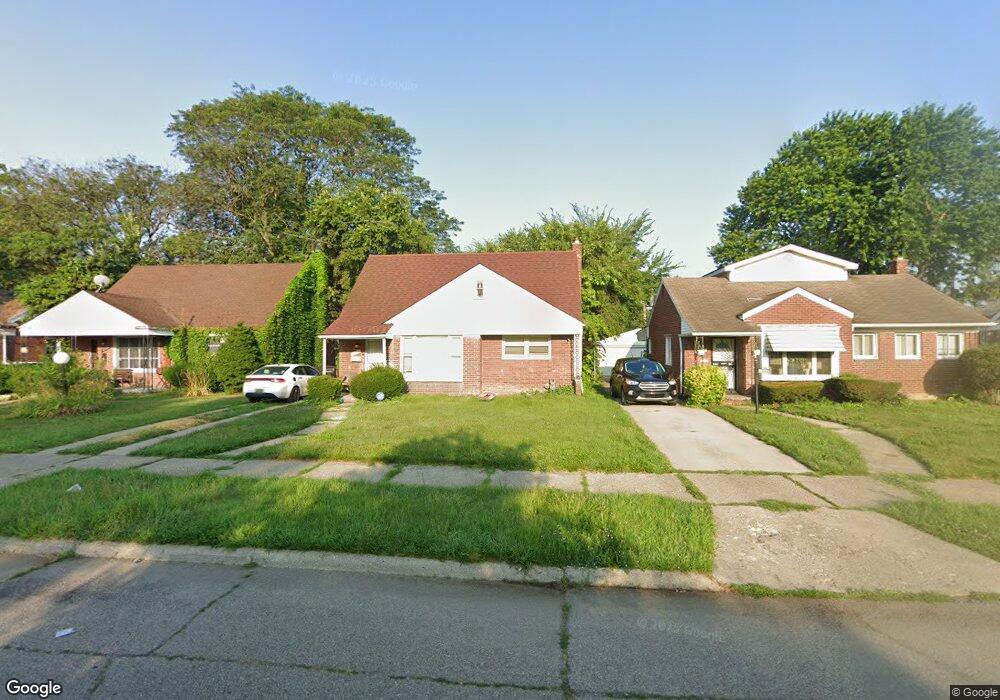
11385 Rutland St Detroit, MI 48227
Joy Community NeighborhoodEstimated Value: $45,000 - $80,802
--
Bed
1
Bath
832
Sq Ft
$75/Sq Ft
Est. Value
About This Home
This home is located at 11385 Rutland St, Detroit, MI 48227 and is currently estimated at $62,201, approximately $74 per square foot. 11385 Rutland St is a home located in Wayne County with nearby schools including Bates Academy, Charles L. Spain Elementary-Middle School, and Edward 'Duke' Ellington Conservatory of Music and Art.
Ownership History
Date
Name
Owned For
Owner Type
Purchase Details
Closed on
Jul 7, 2023
Sold by
Watkins Roslyn
Bought by
Watkins Freda
Current Estimated Value
Purchase Details
Closed on
Jun 21, 2023
Sold by
Sanders James
Bought by
Watkins Roslyn
Purchase Details
Closed on
Nov 11, 2014
Sold by
Treasurer Of The Charter County Of Wayne
Bought by
Sanders James A
Purchase Details
Closed on
Nov 16, 2006
Sold by
K & S Management Co
Bought by
Baldwin Tameka L
Purchase Details
Closed on
Jul 3, 2002
Sold by
Land Contract Equities Inc
Bought by
K & S Management Co
Create a Home Valuation Report for This Property
The Home Valuation Report is an in-depth analysis detailing your home's value as well as a comparison with similar homes in the area
Home Values in the Area
Average Home Value in this Area
Purchase History
| Date | Buyer | Sale Price | Title Company |
|---|---|---|---|
| Watkins Freda | -- | None Listed On Document | |
| Watkins Freda | -- | None Listed On Document | |
| Watkins Roslyn | -- | None Listed On Document | |
| Sanders James A | $6,100 | None Available | |
| Baldwin Tameka L | $70,000 | Title Resource | |
| K & S Management Co | $45,000 | Multiple |
Source: Public Records
Tax History Compared to Growth
Tax History
| Year | Tax Paid | Tax Assessment Tax Assessment Total Assessment is a certain percentage of the fair market value that is determined by local assessors to be the total taxable value of land and additions on the property. | Land | Improvement |
|---|---|---|---|---|
| 2025 | $1,749 | $29,900 | $0 | $0 |
| 2024 | $1,749 | $25,600 | $0 | $0 |
| 2023 | $961 | $20,200 | $0 | $0 |
| 2022 | $1,047 | $18,000 | $0 | $0 |
| 2021 | $1,022 | $13,700 | $0 | $0 |
| 2020 | $1,011 | $14,300 | $0 | $0 |
| 2019 | $997 | $12,900 | $0 | $0 |
| 2018 | $858 | $11,600 | $0 | $0 |
| 2017 | $195 | $10,300 | $0 | $0 |
| 2016 | $1,181 | $15,600 | $0 | $0 |
| 2015 | $1,560 | $15,600 | $0 | $0 |
| 2013 | $2,196 | $21,961 | $0 | $0 |
| 2010 | -- | $31,465 | $1,161 | $30,304 |
Source: Public Records
Map
Nearby Homes
- 9996 Archdale St
- 9961 Rutland St
- 11375 Grandmont Ave
- 11691 Archdale St
- 10086 Rosemont Ave
- 11676 Grandmont Ave
- 9590 Memorial St
- 18110 Weaver St
- 9575 Longacre St
- 11387 Asbury Park
- 9965 Asbury Park
- 18250 Weaver St
- 11394 Asbury Park
- 9661 Asbury Park
- 16911 W Chicago St
- 9377 Memorial Ave
- 18541 Plymouth Rd
- 10017 Mansfield St
- 12094 Asbury Park
- 11690 Saint Marys St
- 11393 Rutland St
- 11377 Rutland St
- 11367 Rutland St
- 11403 Rutland St
- 11384 Longacre St
- 11392 Longacre St
- 11413 Rutland St
- 11359 Rutland St
- 11374 Longacre St
- 11400 Longacre St
- 11366 Longacre St
- 11410 Longacre St
- 11421 Rutland St
- 11349 Rutland St
- 11392 Rutland St
- 11384 Rutland St
- 11358 Longacre St
- 11400 Rutland St
- 11420 Longacre St
- 11374 Rutland St