1139 Bound Tree Rd Contoocook, NH 03229
Estimated Value: $562,000 - $750,000
3
Beds
3
Baths
2,514
Sq Ft
$256/Sq Ft
Est. Value
About This Home
This home is located at 1139 Bound Tree Rd, Contoocook, NH 03229 and is currently estimated at $643,871, approximately $256 per square foot. 1139 Bound Tree Rd is a home located in Merrimack County with nearby schools including Harold Martin School, Maple Street Elementary School, and Hopkinton Middle School.
Ownership History
Date
Name
Owned For
Owner Type
Purchase Details
Closed on
Mar 6, 2017
Sold by
Murphy John and Murphy Leslie A
Bought by
John S Murphy T
Current Estimated Value
Purchase Details
Closed on
Jan 14, 2011
Sold by
Dubreuil Romeo R
Bought by
Murphy John S and Murphy Leslie A
Home Financials for this Owner
Home Financials are based on the most recent Mortgage that was taken out on this home.
Original Mortgage
$200,000
Interest Rate
4.46%
Mortgage Type
Purchase Money Mortgage
Create a Home Valuation Report for This Property
The Home Valuation Report is an in-depth analysis detailing your home's value as well as a comparison with similar homes in the area
Home Values in the Area
Average Home Value in this Area
Purchase History
| Date | Buyer | Sale Price | Title Company |
|---|---|---|---|
| John S Murphy T | -- | -- | |
| Murphy John S | $376,300 | -- |
Source: Public Records
Mortgage History
| Date | Status | Borrower | Loan Amount |
|---|---|---|---|
| Previous Owner | Murphy John S | $200,000 | |
| Previous Owner | Murphy John S | $35,000 |
Source: Public Records
Tax History Compared to Growth
Tax History
| Year | Tax Paid | Tax Assessment Tax Assessment Total Assessment is a certain percentage of the fair market value that is determined by local assessors to be the total taxable value of land and additions on the property. | Land | Improvement |
|---|---|---|---|---|
| 2024 | $11,814 | $539,682 | $149,882 | $389,800 |
| 2023 | $10,671 | $304,706 | $69,606 | $235,100 |
| 2022 | $9,845 | $305,280 | $70,180 | $235,100 |
| 2020 | $8,950 | $305,969 | $70,869 | $235,100 |
| 2019 | $8,898 | $305,569 | $70,869 | $234,700 |
| 2018 | $8,768 | $252,391 | $51,691 | $200,700 |
| 2017 | $8,635 | $251,820 | $51,120 | $200,700 |
| 2016 | $7,791 | $232,220 | $51,120 | $181,100 |
| 2015 | $7,629 | $226,922 | $51,122 | $175,800 |
| 2014 | $7,391 | $226,992 | $56,292 | $170,700 |
| 2013 | $7,161 | $249,157 | $79,557 | $169,600 |
Source: Public Records
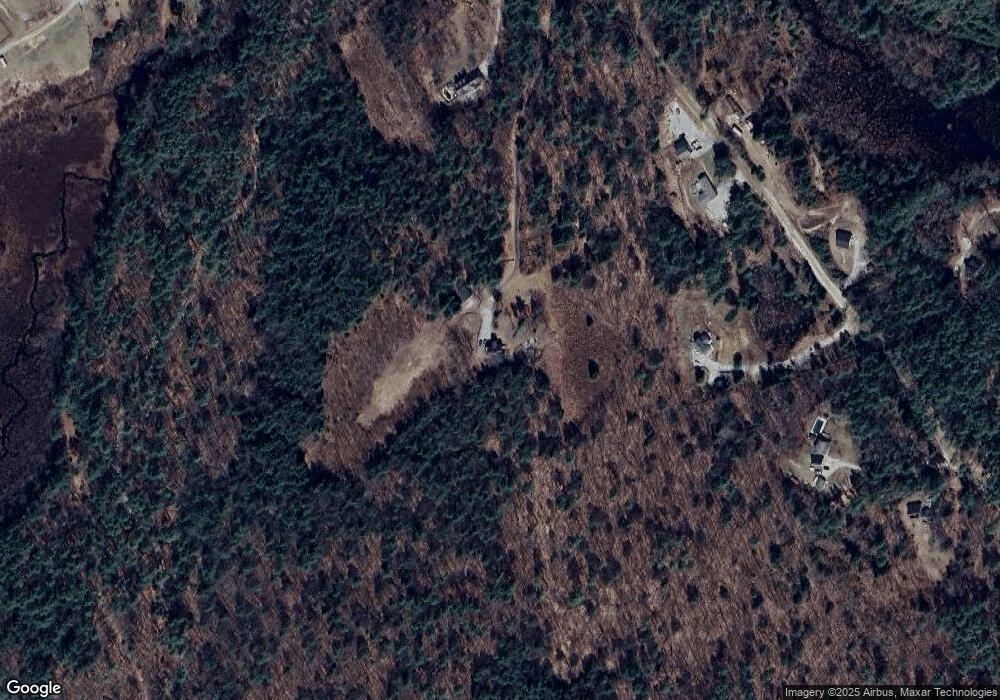
Map
Nearby Homes
- 000 Bound Tree Rd Unit 21
- 93-1 Pine St
- 0 Pine St Unit 38 5061613
- 0 Pine St Unit 50 5060731
- 7 Pleasant Pond Rd Unit 2
- 55 Snowshoe Trail
- 346 Spring St
- 2 Granite Valley
- 237 Rolfe Pond Dr
- 14 Dodge Hill Rd
- 85 Meadows Dr
- 104 River Grant Dr
- 20 Duston Dr
- 56 Maple St Unit C
- 91 Maple St
- 430 Highland Dr
- 168 Route 103 E
- 403 Maple St
- 111 Shore Dr
- 455 Maple St
- 1025 Bound Tree Rd
- 1057 Bound Tree Rd
- 1153 Bound Tree Rd
- 0 Bound Tree Rd Unit 2713103
- 1036 Bound Tree Rd
- 1162 Bound Tree Rd
- 951 Bound Tree Rd
- 973 Bound Tree Rd
- 1267 Bound Tree Rd
- 1186 Bound Tree Rd
- 000 Bound Tree Rd
- 1314 Bound Tree Rd
- 1549 Clement Hill Rd
- 1549 Clement Hill Rd
- 1379 Clement Hill Rd
- 1327 Bound Tree Rd
- 1340 Bound Tree Rd
- 0 N Shore Dr
- 348 N Shore Dr
- 2 Clement Hill Rd