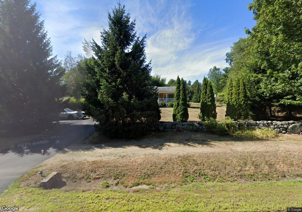
1139 Portsmouth Ave Greenland, NH 03840
Estimated Value: $465,166 - $559,000
3
Beds
2
Baths
1,094
Sq Ft
$470/Sq Ft
Est. Value
About This Home
This home is located at 1139 Portsmouth Ave, Greenland, NH 03840 and is currently estimated at $514,042, approximately $469 per square foot. 1139 Portsmouth Ave is a home located in Rockingham County with nearby schools including Greenland Central School, The Cornerstone School, and Cornerstone Christian Academy.
Ownership History
Date
Name
Owned For
Owner Type
Purchase Details
Closed on
Jun 21, 2018
Sold by
Hussey Richard D
Bought by
Richard D Hussey Ret and Hussey
Current Estimated Value
Purchase Details
Closed on
Nov 2, 1987
Bought by
Hussey Richard D and Hussey Victoria J
Create a Home Valuation Report for This Property
The Home Valuation Report is an in-depth analysis detailing your home's value as well as a comparison with similar homes in the area
Home Values in the Area
Average Home Value in this Area
Purchase History
| Date | Buyer | Sale Price | Title Company |
|---|---|---|---|
| Richard D Hussey Ret | -- | -- | |
| Hussey Richard D | $110,000 | -- |
Source: Public Records
Mortgage History
| Date | Status | Borrower | Loan Amount |
|---|---|---|---|
| Previous Owner | Hussey Richard D | $146,000 |
Source: Public Records
Tax History Compared to Growth
Tax History
| Year | Tax Paid | Tax Assessment Tax Assessment Total Assessment is a certain percentage of the fair market value that is determined by local assessors to be the total taxable value of land and additions on the property. | Land | Improvement |
|---|---|---|---|---|
| 2024 | $5,057 | $389,300 | $260,200 | $129,100 |
| 2023 | $4,777 | $389,300 | $260,200 | $129,100 |
| 2022 | $4,756 | $262,900 | $164,200 | $98,700 |
| 2021 | $4,921 | $262,900 | $164,200 | $98,700 |
| 2020 | $4,359 | $262,900 | $164,200 | $98,700 |
| 2019 | $4,318 | $263,300 | $164,200 | $99,100 |
| 2018 | $4,158 | $263,300 | $164,200 | $99,100 |
| 2017 | $3,534 | $212,400 | $129,500 | $82,900 |
| 2016 | $3,536 | $212,400 | $129,500 | $82,900 |
| 2015 | $3,592 | $212,400 | $129,500 | $82,900 |
| 2014 | $3,381 | $212,400 | $129,500 | $82,900 |
| 2013 | $3,292 | $212,400 | $129,500 | $82,900 |
Source: Public Records
Map
Nearby Homes
- 13 Dearborn Rd
- 00 Lovell Rd Unit 22
- 24 Great Bay Rd
- 14 Balmoral Dr
- 141 Dearborn Rd
- Unit 26 Summerwind Place Unit 26
- 39 Glengarry Dr
- 44 High St
- 00 Scamman Rd
- 64 Boxwood Path Unit 64
- 227 Portsmouth Ave
- 12 Founders Square Unit A
- 217 Portsmouth Ave
- 36 Downs Ave
- 18 Treat Farm Rd
- 177 Winnicutt Rd
- 54 Brookside Dr
- 5 Brookside Dr
- 34 Kinloch Dr
- 4 Kildary Dr
- 2 Thompson Brook Cir Unit 5A
- 2 Thompson Brook Cir
- 2 Thompson Brook Cir Unit 2
- 381 Route 33
- 4 Thompson Brook Cir Unit 5A
- 4 Thompson Brook Cir
- 1131 Portsmouth Ave
- 355 Portsmouth Ave
- 1125 Portsmouth Ave
- 353 Portsmouth Ave
- 16 Willow Brook Ave
- 1 Thompson Brook Cir
- 16 Willowbrook Ave
- 20 Willow Brook Ave
- 1119 Portsmouth Ave
- 2 Blueridge Cir
- 3 Thompson Brook Cir
- 24 Willow Brook Ave
- 6 Thompson Brook Cir
- 24 Willowbrook Ave