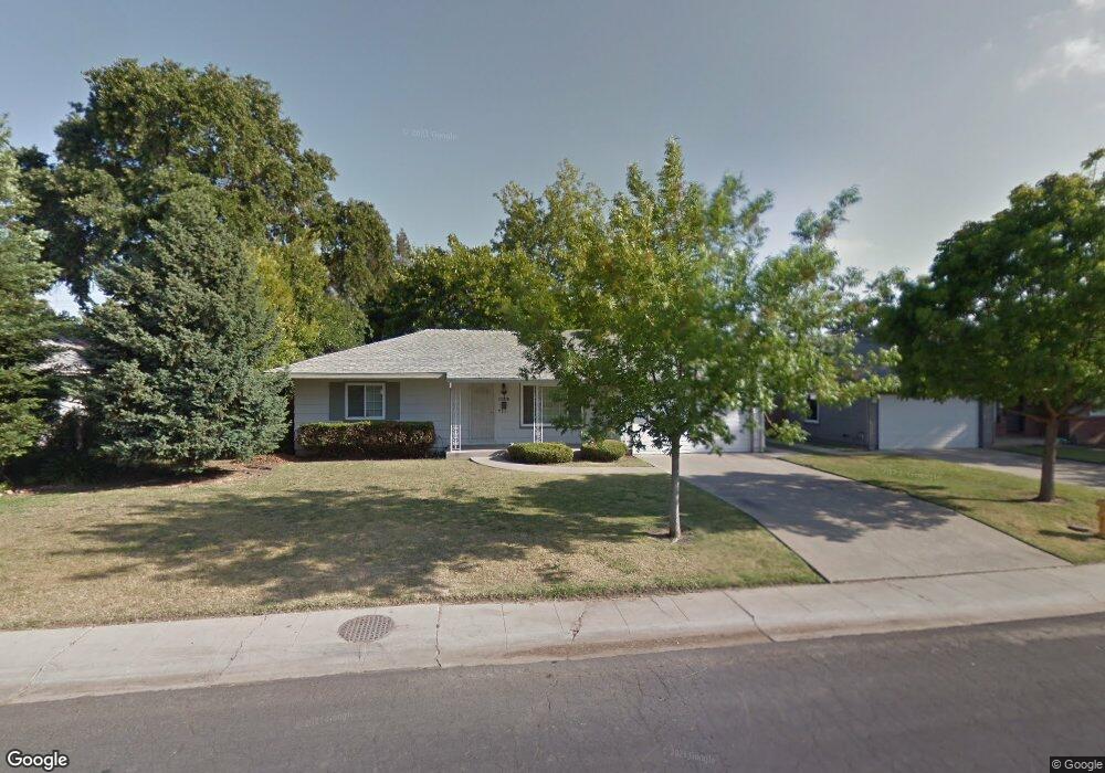
1139 Rutledge Way Stockton, CA 95207
Lincoln Village NeighborhoodEstimated Value: $271,000 - $416,000
2
Beds
1
Bath
1,108
Sq Ft
$331/Sq Ft
Est. Value
About This Home
This home is located at 1139 Rutledge Way, Stockton, CA 95207 and is currently estimated at $366,320, approximately $330 per square foot. 1139 Rutledge Way is a home located in San Joaquin County with nearby schools including Lincoln Elementary School, Sierra Middle School, and Lincoln High School.
Ownership History
Date
Name
Owned For
Owner Type
Purchase Details
Closed on
Sep 18, 2020
Sold by
Collins Michael E and Collins Joan E
Bought by
Collins Michael and The Michael Collins 2002 Revoc
Current Estimated Value
Purchase Details
Closed on
Sep 25, 2002
Sold by
Walterman Greg and Walterman Janella
Bought by
Collins Michael E and Collins Joan E
Home Financials for this Owner
Home Financials are based on the most recent Mortgage that was taken out on this home.
Original Mortgage
$151,200
Outstanding Balance
$62,839
Interest Rate
6.17%
Estimated Equity
$303,481
Create a Home Valuation Report for This Property
The Home Valuation Report is an in-depth analysis detailing your home's value as well as a comparison with similar homes in the area
Home Values in the Area
Average Home Value in this Area
Purchase History
| Date | Buyer | Sale Price | Title Company |
|---|---|---|---|
| Collins Michael | -- | None Available | |
| Collins Michael E | -- | Alliance Title Co |
Source: Public Records
Mortgage History
| Date | Status | Borrower | Loan Amount |
|---|---|---|---|
| Open | Collins Michael E | $151,200 |
Source: Public Records
Tax History Compared to Growth
Tax History
| Year | Tax Paid | Tax Assessment Tax Assessment Total Assessment is a certain percentage of the fair market value that is determined by local assessors to be the total taxable value of land and additions on the property. | Land | Improvement |
|---|---|---|---|---|
| 2025 | $5,187 | $273,713 | $101,374 | $172,339 |
| 2024 | $5,035 | $268,347 | $99,387 | $168,960 |
| 2023 | $4,935 | $263,087 | $97,439 | $165,648 |
| 2022 | $5,495 | $257,929 | $95,529 | $162,400 |
| 2021 | $4,713 | $252,872 | $93,656 | $159,216 |
| 2020 | $4,678 | $250,280 | $92,696 | $157,584 |
| 2019 | $4,632 | $245,374 | $90,879 | $154,495 |
| 2018 | $4,532 | $240,564 | $89,098 | $151,466 |
| 2017 | $4,473 | $235,848 | $87,351 | $148,497 |
| 2016 | $3,875 | $212,000 | $79,000 | $133,000 |
| 2014 | $3,291 | $142,000 | $43,000 | $99,000 |
Source: Public Records
Map
Nearby Homes
- 1214 Mcclellan Way
- 1005 W Benjamin Holt Dr
- 1489 W Swain Rd
- 1152 Stanton Way
- 1583 W Swain Rd
- 1581 W Swain Rd
- 1633 Porter Way
- 1629 Porter Way
- 1417 W Swain Rd
- 1703 Polk Way
- 1467 W Swain Rd
- 1720 Mcclellan Way
- 1607 Stanton Way
- 1707 W Swain Rd Unit 5
- 1860 Douglas Rd
- 1864 Polk Way
- 518 W Lincoln Rd
- 2014 Douglas Rd
- 1929 W Swain Rd
- 210 W Pearl Ave
- 1151 Rutledge Way
- 1127 Rutledge Way
- 1152 Sheridan Way
- 1142 Sheridan Way
- 1115 Rutledge Way
- 1161 Rutledge Way
- 1162 Sheridan Way
- 1130 Sheridan Way
- 1140 Rutledge Way
- 1152 Rutledge Way
- 1128 Rutledge Way
- 1172 Sheridan Way
- 1162 Rutledge Way
- 1105 Rutledge Way Unit 7
- 1173 Rutledge Way
- 1118 Sheridan Way
- 1116 Rutledge Way
- 1206 Sheridan Way
- 1174 Rutledge Way
- 1149 Calhoun Way