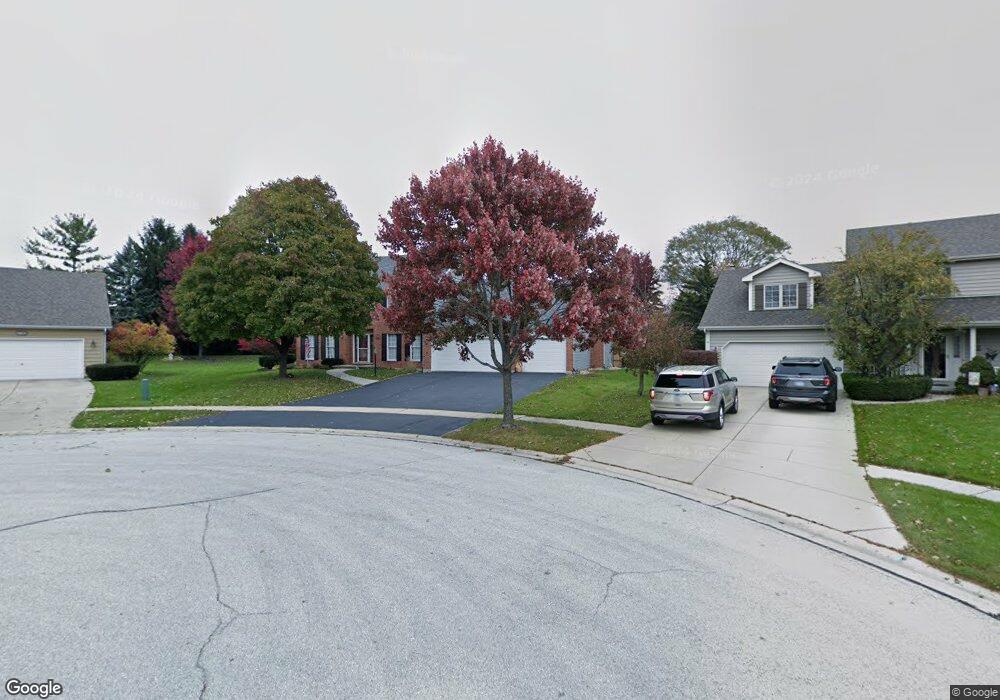
1139 Thelin Ct Unit 9 Batavia, IL 60510
Southwest Batavia NeighborhoodEstimated Value: $590,848 - $745,000
3
Beds
--
Bath
2,990
Sq Ft
$220/Sq Ft
Est. Value
About This Home
This home is located at 1139 Thelin Ct Unit 9, Batavia, IL 60510 and is currently estimated at $656,462, approximately $219 per square foot. 1139 Thelin Ct Unit 9 is a home located in Kane County with nearby schools including Sam Rotolo Middle School, Batavia Sr High School, and Mooseheart Child City & School.
Ownership History
Date
Name
Owned For
Owner Type
Purchase Details
Closed on
Feb 27, 1998
Sold by
Hansen Kim Daniel and Hansen Susan Marie
Bought by
Hudson Will M and Hudson Leah K
Current Estimated Value
Home Financials for this Owner
Home Financials are based on the most recent Mortgage that was taken out on this home.
Original Mortgage
$227,000
Outstanding Balance
$41,270
Interest Rate
6.95%
Estimated Equity
$615,192
Create a Home Valuation Report for This Property
The Home Valuation Report is an in-depth analysis detailing your home's value as well as a comparison with similar homes in the area
Home Values in the Area
Average Home Value in this Area
Purchase History
| Date | Buyer | Sale Price | Title Company |
|---|---|---|---|
| Hudson Will M | $291,000 | Advanced Title Services Inc |
Source: Public Records
Mortgage History
| Date | Status | Borrower | Loan Amount |
|---|---|---|---|
| Open | Hudson Will M | $227,000 |
Source: Public Records
Tax History Compared to Growth
Tax History
| Year | Tax Paid | Tax Assessment Tax Assessment Total Assessment is a certain percentage of the fair market value that is determined by local assessors to be the total taxable value of land and additions on the property. | Land | Improvement |
|---|---|---|---|---|
| 2024 | $13,540 | $187,250 | $35,732 | $151,518 |
| 2023 | $13,210 | $169,950 | $32,431 | $137,519 |
| 2022 | $12,908 | $158,831 | $30,309 | $128,522 |
| 2021 | $12,378 | $150,636 | $28,745 | $121,891 |
| 2020 | $12,068 | $147,740 | $28,192 | $119,548 |
| 2019 | $11,860 | $142,510 | $27,194 | $115,316 |
| 2018 | $11,376 | $137,081 | $26,158 | $110,923 |
| 2017 | $11,090 | $132,560 | $25,295 | $107,265 |
| 2016 | $11,306 | $128,699 | $24,558 | $104,141 |
| 2015 | -- | $125,769 | $23,999 | $101,770 |
| 2014 | -- | $121,811 | $23,244 | $98,567 |
| 2013 | -- | $125,131 | $28,487 | $96,644 |
Source: Public Records
Map
Nearby Homes
- 818 Bernadette Ln
- 1316 Brandywine Cir Unit 4
- 384 Danforth Dr
- 396 Danforth Dr
- 303 Danforth Dr
- 344 Danforth Dr
- 369 Danforth Dr
- 1091 Danforth Dr
- 1375 Green Pheasant Ln
- 1280 Brandywine Cir
- 1232 S Batavia Ave
- 1010 S Jefferson St
- 750 Blaine St
- 218 Weirich Way Unit 88001
- 116 Furnas Dr
- 119 Furnas Dr
- 143 Furnas Dr
- 131 Furnas Dr
- 33 Weirich Way Unit 77004
- 41 Weirich Way Unit 77005
- 1149 Thelin Ct
- 1305 Newton Ave
- 1275 Newton Ave
- 1315 Newton Ave
- 1298 Averill Dr
- 1119 Thelin Ct
- 1265 Newton Ave
- 1325 Newton Ave
- 1142 Thelin Ct
- 1300 Challenge Rd
- 1292 Averill Dr
- 1132 Thelin Ct
- 1255 Newton Ave
- 1335 Newton Ave
- 1113 Thelin Ct Unit 9
- 1122 Thelin Ct
- 1320 Challenge Rd
- 1290 Newton Ave
- 1310 Newton Ave
- 1270 Newton Ave