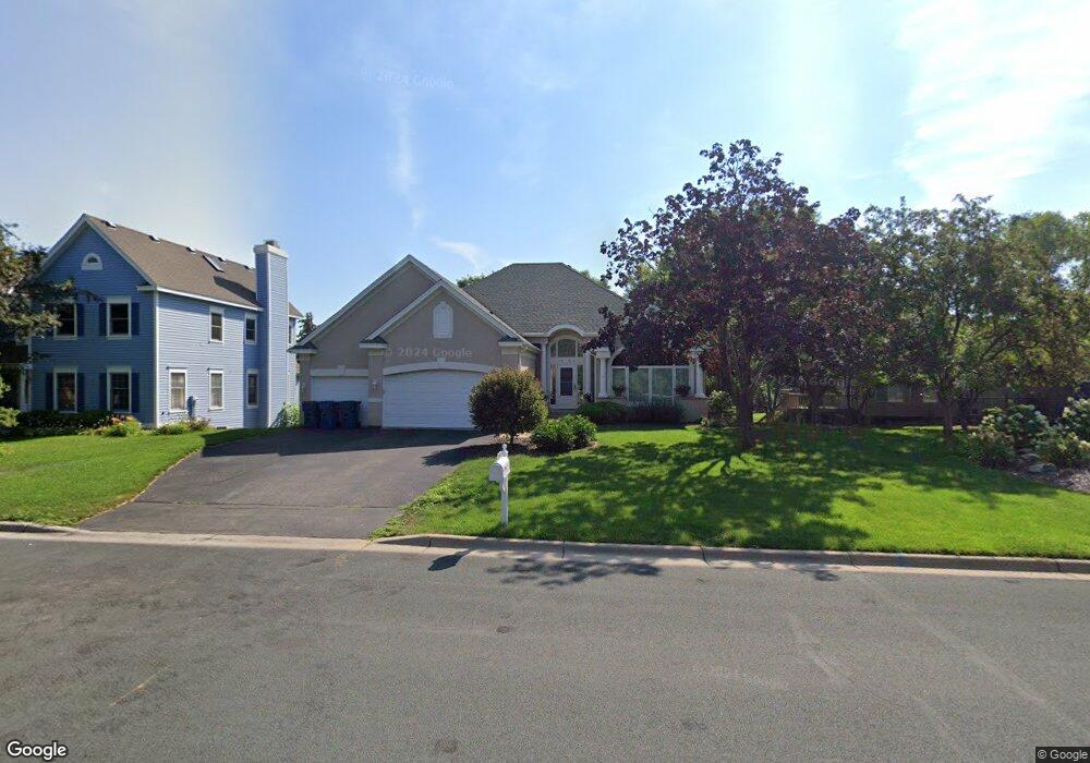
11390 Louisiana Cir Bloomington, MN 55438
West Bloomington NeighborhoodEstimated Value: $653,706 - $731,000
5
Beds
4
Baths
1,845
Sq Ft
$371/Sq Ft
Est. Value
About This Home
This home is located at 11390 Louisiana Cir, Bloomington, MN 55438 and is currently estimated at $683,927, approximately $370 per square foot. 11390 Louisiana Cir is a home located in Hennepin County with nearby schools including Olson Elementary School, Olson Middle School, and Jefferson Senior High School.
Ownership History
Date
Name
Owned For
Owner Type
Purchase Details
Closed on
Mar 24, 2020
Sold by
Wei Baoping and Liang Haiyana
Bought by
Madej Lynne Marie and Madej Martin
Current Estimated Value
Home Financials for this Owner
Home Financials are based on the most recent Mortgage that was taken out on this home.
Original Mortgage
$424,000
Outstanding Balance
$374,796
Interest Rate
3.4%
Mortgage Type
New Conventional
Estimated Equity
$309,131
Purchase Details
Closed on
Aug 13, 2004
Sold by
Dentz Steven E and Dentz Jeri
Bought by
Not Provided
Purchase Details
Closed on
Nov 15, 1996
Sold by
Unibilt Inc
Bought by
Lang Ann S and Lang Scott T
Create a Home Valuation Report for This Property
The Home Valuation Report is an in-depth analysis detailing your home's value as well as a comparison with similar homes in the area
Home Values in the Area
Average Home Value in this Area
Purchase History
| Date | Buyer | Sale Price | Title Company |
|---|---|---|---|
| Madej Lynne Marie | $530,000 | Watermark Title Agency | |
| Not Provided | $579,000 | -- | |
| Lang Ann S | $85,000 | -- |
Source: Public Records
Mortgage History
| Date | Status | Borrower | Loan Amount |
|---|---|---|---|
| Open | Madej Lynne Marie | $424,000 |
Source: Public Records
Tax History Compared to Growth
Tax History
| Year | Tax Paid | Tax Assessment Tax Assessment Total Assessment is a certain percentage of the fair market value that is determined by local assessors to be the total taxable value of land and additions on the property. | Land | Improvement |
|---|---|---|---|---|
| 2024 | $8,185 | $608,400 | $226,000 | $382,400 |
| 2023 | $8,450 | $667,100 | $292,800 | $374,300 |
| 2022 | $7,036 | $642,500 | $267,100 | $375,400 |
| 2021 | $6,426 | $540,600 | $239,000 | $301,600 |
| 2020 | $7,697 | $505,600 | $232,200 | $273,400 |
| 2019 | $7,001 | $574,300 | $232,200 | $342,100 |
| 2018 | $6,804 | $522,000 | $232,400 | $289,600 |
| 2017 | $6,542 | $481,700 | $209,700 | $272,000 |
| 2016 | $6,858 | $478,100 | $182,800 | $295,300 |
| 2015 | $6,668 | $446,500 | $175,900 | $270,600 |
| 2014 | -- | $439,400 | $170,500 | $268,900 |
Source: Public Records
Map
Nearby Homes
- 6993 Kenmare Dr
- 7031 Kenmare Dr
- 7106 W 113th St
- 7317 Auto Club Rd
- 7062 W 113th St Unit 1
- 11073 Oregon Cir Unit 69
- 11275 Oregon Cir
- 7019 W 110th Street Cir Unit 15
- 11015 Oregon Curve
- 11048 Quebec Cir
- 11036 Quebec Cir
- 11058 Oregon Curve
- 11159 Sumter Ave S
- 10935 Oregon Ave S
- 7471 W 110th St
- 7525 W 110th St Unit 7
- 11200 Wyoming Rd S
- 7518 W 110th St
- 10907 Rhode Island Ave S
- 8022 W 111th St Unit 8022
- 11392 Louisiana Cir
- 11388 Louisiana Cir
- 11406 Louisiana Ave S
- 11382 Louisiana Cir
- 11394 Louisiana Cir
- 11412 Louisiana Ave S
- 11386 Louisiana Cir
- 11380 Louisiana Cir
- 11409 Louisiana Ave S
- 11418 Louisiana Ave S
- 11378 Louisiana Cir
- 11401 Louisiana Ave S
- 11384 Louisiana Cir
- 7000 Kenmare Dr
- 11424 Louisiana Ave S
- 11417 Louisiana Ave S
- 11377 Louisiana Ave S
- 7012 Kenmare Dr
- 11376 Louisiana Ave S
- 6992 Kenmare Dr