113929 Us Highway 59 Sallisaw, OK 74955
Estimated Value: $258,940
2
Beds
2
Baths
528
Sq Ft
$490/Sq Ft
Est. Value
About This Home
This home is located at 113929 Us Highway 59, Sallisaw, OK 74955 and is currently estimated at $258,940, approximately $490 per square foot. 113929 Us Highway 59 is a home located in Sequoyah County.
Ownership History
Date
Name
Owned For
Owner Type
Purchase Details
Closed on
Mar 5, 2021
Sold by
Gibbs Belinda
Bought by
35 Derees Latitude Investments Llc
Current Estimated Value
Home Financials for this Owner
Home Financials are based on the most recent Mortgage that was taken out on this home.
Original Mortgage
$160,000
Interest Rate
2.9%
Mortgage Type
Commercial
Purchase Details
Closed on
Jan 4, 2012
Sold by
Pierce Lakside Rv Llc
Bought by
Gibbs Belinda
Purchase Details
Closed on
Sep 23, 2011
Sold by
Sewwney James D
Bought by
Pierce Lakeside Rv Llc
Create a Home Valuation Report for This Property
The Home Valuation Report is an in-depth analysis detailing your home's value as well as a comparison with similar homes in the area
Home Values in the Area
Average Home Value in this Area
Purchase History
| Date | Buyer | Sale Price | Title Company |
|---|---|---|---|
| 35 Derees Latitude Investments Llc | $200,000 | None Available | |
| Gibbs Belinda | $262,500 | None Available | |
| Pierce Lakeside Rv Llc | $135,000 | None Available |
Source: Public Records
Mortgage History
| Date | Status | Borrower | Loan Amount |
|---|---|---|---|
| Previous Owner | 35 Derees Latitude Investments Llc | $160,000 |
Source: Public Records
Tax History Compared to Growth
Tax History
| Year | Tax Paid | Tax Assessment Tax Assessment Total Assessment is a certain percentage of the fair market value that is determined by local assessors to be the total taxable value of land and additions on the property. | Land | Improvement |
|---|---|---|---|---|
| 2024 | $2,203 | $24,254 | $4,440 | $19,814 |
| 2023 | $2,203 | $23,100 | $4,437 | $18,663 |
| 2022 | $1,876 | $22,000 | $4,433 | $17,567 |
| 2021 | $1,782 | $21,934 | $4,433 | $17,501 |
| 2020 | $2,815 | $33,474 | $15,803 | $17,671 |
| 2019 | $2,760 | $32,499 | $15,284 | $17,215 |
| 2018 | $2,699 | $31,552 | $14,106 | $17,446 |
Source: Public Records
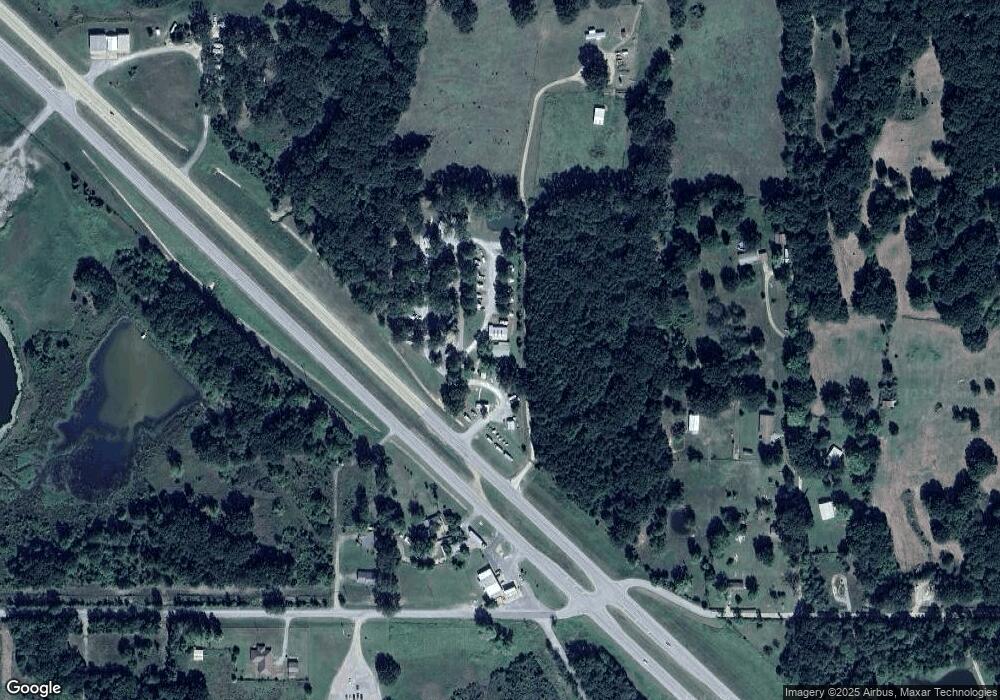
Map
Nearby Homes
- 1 S 4629 Rd
- 102749 S 4629 Rd
- 462394 E 1020 Rd
- 0 S 4625 Rd
- 0 TBD S 4624 Rd
- 462419 E 1026 Rd
- 462386 E 1026 Rd
- 103362 U S 59
- 101655 S 4650 Rd
- 103861 US Highway 59
- 463182 E 995 Rd
- 463534 E 1044 Loop
- 463696 E 1044 Loop
- 463760 E 1044 Loop
- 103742 S 4650 Rd
- 464736 Highway 101
- 0200 E 1001 Rd
- 0000 E 1001 Rd
- 465222 Highway 101
- 104555 S 4620 Rd
- 113929 Us Highway 59
- 463345 E 1020 Rd
- 463602 E 1020 Rd
- 463588 E 1020 Rd
- 463519 E 1020 Rd
- 462956 E 1020 Rd
- 102451 S 4630 Rd
- 63A4 Rr 2
- 67A Rr 2
- 462936 E 1032 Rd
- 0 S 4630 Rd Unit 1006379
- 0 S 4630 Rd Unit 1702837
- 0 S 4630 Rd Unit 1702944
- 0 S 4630 Rd Unit 1727590
- 0 S 4630 Rd Unit 1732799
- 0 S 4630 Rd Unit 1806853
- 0 S 4630 Rd Unit 1824013
- 0 S 4630 Rd Unit 1824018
- 0 S 4630 Rd Unit 1836716
- 462783 E 1023 Rd