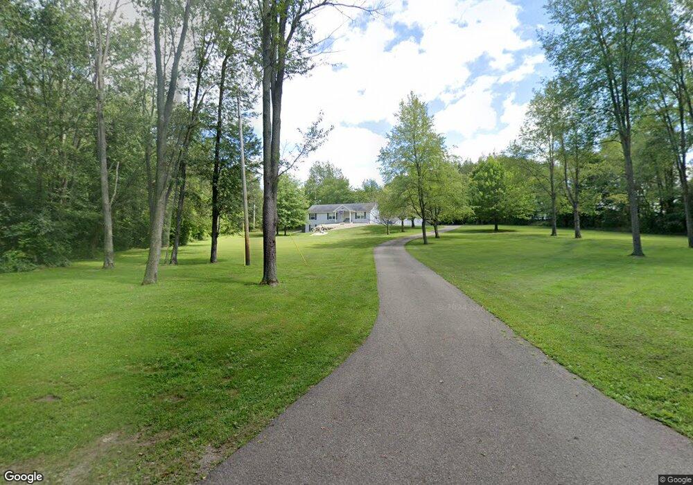
11396 8 1/2 Mile Rd Ceresco, MI 49033
Estimated Value: $191,000 - $397,094
3
Beds
2
Baths
1,456
Sq Ft
$205/Sq Ft
Est. Value
About This Home
This home is located at 11396 8 1/2 Mile Rd, Ceresco, MI 49033 and is currently estimated at $299,024, approximately $205 per square foot. 11396 8 1/2 Mile Rd is a home located in Calhoun County with nearby schools including Harper Creek Middle School, Harper Creek High School, and Family Altar Christian School.
Ownership History
Date
Name
Owned For
Owner Type
Purchase Details
Closed on
Jun 19, 2008
Sold by
Forsythe Delores L and Pour Over Trust Of Delores L F
Bought by
Dunn Michael L and Dunn Vickie V
Current Estimated Value
Home Financials for this Owner
Home Financials are based on the most recent Mortgage that was taken out on this home.
Original Mortgage
$166,585
Interest Rate
6.5%
Mortgage Type
FHA
Purchase Details
Closed on
Oct 13, 2004
Sold by
Wildey Bruce A and Wildey Teresa A
Bought by
Forsythe Delores L and Pour Over Trust Of Delores L F
Purchase Details
Closed on
Jun 9, 1995
Purchase Details
Closed on
Jul 14, 1993
Sold by
Clemence Daniel
Bought by
Clemence Judy
Create a Home Valuation Report for This Property
The Home Valuation Report is an in-depth analysis detailing your home's value as well as a comparison with similar homes in the area
Home Values in the Area
Average Home Value in this Area
Purchase History
| Date | Buyer | Sale Price | Title Company |
|---|---|---|---|
| Dunn Michael L | $169,200 | None Available | |
| Forsythe Delores L | $150,500 | Chicago Title Ins | |
| -- | $14,000 | -- | |
| Clemence Judy | -- | -- |
Source: Public Records
Mortgage History
| Date | Status | Borrower | Loan Amount |
|---|---|---|---|
| Previous Owner | Dunn Michael L | $166,585 |
Source: Public Records
Tax History Compared to Growth
Tax History
| Year | Tax Paid | Tax Assessment Tax Assessment Total Assessment is a certain percentage of the fair market value that is determined by local assessors to be the total taxable value of land and additions on the property. | Land | Improvement |
|---|---|---|---|---|
| 2025 | $3,905 | $135,500 | $0 | $0 |
| 2024 | $2,497 | $131,100 | $0 | $0 |
| 2023 | $3,052 | $119,000 | $0 | $0 |
| 2022 | $3,052 | $110,200 | $0 | $0 |
| 2021 | $3,037 | $102,800 | $0 | $0 |
| 2020 | $3,000 | $92,500 | $0 | $0 |
| 2019 | $0 | $89,700 | $0 | $0 |
| 2018 | $0 | $88,000 | $12,000 | $76,000 |
| 2017 | $0 | $87,800 | $0 | $0 |
| 2016 | $0 | $85,300 | $0 | $0 |
| 2015 | -- | $84,900 | $16,633 | $68,267 |
| 2014 | -- | $84,500 | $16,633 | $67,867 |
Source: Public Records
Map
Nearby Homes
- 8295 D Dr S
- 12460 Beadle Lake Rd
- 13028 Harper Crossing
- 11506 11 Mile Rd
- 6185 Willow Run Dr
- 6660 B Dr N
- 10660 D Dr S
- 1375 Woodland Beach
- 14 Blue Stone Ridge
- 11349 6 Mile Rd
- 10047 11 Mile Rd
- 2851 Kistler Rd
- VL Beadle Lake Rd
- 13233 6 1 2 Mile Rd
- 4371 Council Crest Ln
- 159 Beadle Lake Dr
- 13661 6 1 2 Mile Rd
- 231 Embury Dr
- 11445 F Dr S
- 186 Juanita Dr
- 11396 8 1 2 Mile Rd
- 11370 8 1/2 Mile Rd
- 11370 8 1 2 Mile Rd
- 11432 8 1/2 Mile Rd
- 11502 8 1/2 Mile Rd
- 11551 8 1/2 Mile Rd
- 11551 8 1 2 Mile Rd
- 11236 8 1 2 Mile Rd
- 11236 8 1/2 Mile Rd
- 11743 8 1/2 Mile Rd
- 11141 8 1/2 Mile Rd
- 8555 B Dr S
- 0 8 1 2 Mile Rd Unit 64014036453
- 0 8 1 2 Mile Rd Unit 64013066160
- 0 8 1 2 Mile Rd Unit M13052857
- 0 8 1 2 Mile Rd
- 0 8 1 2 Mile Rd
- 11123 8 1 2 Mile Rd
- 11841 8 1/2 Mile Rd
- 11980 8 1/2 Mile Rd