11399 Harcum Rd Gloucester, VA 23061
Ware Neck NeighborhoodEstimated Value: $426,000 - $619,000
3
Beds
2
Baths
2,706
Sq Ft
$188/Sq Ft
Est. Value
About This Home
This home is located at 11399 Harcum Rd, Gloucester, VA 23061 and is currently estimated at $509,934, approximately $188 per square foot. 11399 Harcum Rd is a home located in Gloucester County with nearby schools including Botetourt Elementary School, Peasley Middle School, and Gloucester High School.
Ownership History
Date
Name
Owned For
Owner Type
Purchase Details
Closed on
Feb 27, 2024
Sold by
Bristow Douglas K and Bristow Heidi Lynne
Bought by
Bristow Douglas Kevin and Bristow Heidi Lynne
Current Estimated Value
Purchase Details
Closed on
Aug 4, 2009
Sold by
Bristow Douglas Ralph and Bristow Kathleen P
Bought by
Bristow Douglas K
Create a Home Valuation Report for This Property
The Home Valuation Report is an in-depth analysis detailing your home's value as well as a comparison with similar homes in the area
Home Values in the Area
Average Home Value in this Area
Purchase History
| Date | Buyer | Sale Price | Title Company |
|---|---|---|---|
| Bristow Douglas Kevin | $360,660 | None Listed On Document | |
| Bristow Douglas K | -- | None Available |
Source: Public Records
Tax History
| Year | Tax Paid | Tax Assessment Tax Assessment Total Assessment is a certain percentage of the fair market value that is determined by local assessors to be the total taxable value of land and additions on the property. | Land | Improvement |
|---|---|---|---|---|
| 2025 | $2,214 | $360,660 | $63,610 | $297,050 |
| 2024 | $2,214 | $360,660 | $63,610 | $297,050 |
| 2023 | $2,103 | $360,660 | $63,610 | $297,050 |
| 2022 | $2,132 | $294,050 | $85,190 | $208,860 |
| 2021 | $2,044 | $294,050 | $85,190 | $208,860 |
| 2020 | $2,044 | $294,050 | $85,190 | $208,860 |
| 2019 | $2,007 | $288,770 | $85,190 | $203,580 |
| 2017 | $2,007 | $288,770 | $85,190 | $203,580 |
| 2016 | $1,882 | $270,820 | $91,840 | $178,980 |
| 2015 | $1,842 | $272,000 | $69,100 | $202,900 |
| 2014 | $1,768 | $272,000 | $69,100 | $202,900 |
Source: Public Records
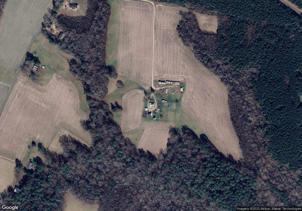
Map
Nearby Homes
- 00 New Upton Farms Ln
- 10785 Hornets Nest Rd
- LOT 2 Riverwatch Dr
- 11802 Deep Point Ln
- 27 E West Pkwy
- 10114 New Hope Ct
- 686 Shore Dr
- 3.1+AC Buckskin Trail
- 00 Buckskin Trail
- 000 Horse Run Rd
- 00 Horse Run Rd
- 262 Columbine Dr
- 10.88 AC Beech Creek Rd
- Lot 1 Poplar Dr
- 89 Poplar Dr
- 1A Carter Hill St
- 9851 Autumn Woods Ln
- 9789 Honey Tree Ct
- 939 Coachpoint Rd
- 9909 Friendship Rd
- 11303 Harcum Rd
- 11207 Harcum Rd
- 7598 Dutton Rd
- 678 State Route 678
- 1+ Harcum Rd
- Lot 9 Harcum Rd
- 2.09ac Harcum Rd
- 0000 Harcum Rd
- 0 Harcum Rd
- 7754 Dutton Rd
- 11274 Harcum Rd
- 000 Dutton Rd
- 0 Dutton Rd Unit 1813365
- 00 Dutton Rd
- 0 Dutton Rd Unit 106033
- 9108 Dutton Rd
- 7749 Dutton Rd
- 7771 Dutton Rd
- 2.66ac Dutton Rd
- 1 Acre Dutton Rd
Your Personal Tour Guide
Ask me questions while you tour the home.