114 Adam Cir Ruston, LA 71270
Estimated Value: $341,000 - $436,000
Studio
1
Bath
2,193
Sq Ft
$174/Sq Ft
Est. Value
About This Home
This home is located at 114 Adam Cir, Ruston, LA 71270 and is currently estimated at $381,198, approximately $173 per square foot. 114 Adam Cir is a home located in Lincoln Parish with nearby schools including Glen View Elementary School, Cypress Springs Elementary School, and Ruston Junior High School.
Ownership History
Date
Name
Owned For
Owner Type
Purchase Details
Closed on
Jun 23, 2020
Sold by
Hathorn Gary K and Hathorn Debra J
Bought by
Paxton Mason and Paxton Maggi
Current Estimated Value
Home Financials for this Owner
Home Financials are based on the most recent Mortgage that was taken out on this home.
Original Mortgage
$230,209
Outstanding Balance
$202,250
Interest Rate
3.2%
Mortgage Type
New Conventional
Estimated Equity
$178,948
Create a Home Valuation Report for This Property
The Home Valuation Report is an in-depth analysis detailing your home's value as well as a comparison with similar homes in the area
Purchase History
| Date | Buyer | Sale Price | Title Company |
|---|---|---|---|
| Paxton Mason | $235,000 | None Available |
Source: Public Records
Mortgage History
| Date | Status | Borrower | Loan Amount |
|---|---|---|---|
| Open | Paxton Mason | $230,209 |
Source: Public Records
Tax History
| Year | Tax Paid | Tax Assessment Tax Assessment Total Assessment is a certain percentage of the fair market value that is determined by local assessors to be the total taxable value of land and additions on the property. | Land | Improvement |
|---|---|---|---|---|
| 2025 | $2,762 | $33,691 | $4,750 | $28,941 |
| 2024 | $2,762 | $33,691 | $4,750 | $28,941 |
| 2023 | $2,198 | $25,775 | $2,260 | $23,515 |
| 2022 | $2,209 | $25,775 | $2,260 | $23,515 |
| 2021 | $2,038 | $25,775 | $2,260 | $23,515 |
| 2020 | $2,032 | $25,549 | $2,260 | $23,289 |
| 2019 | $1,981 | $25,549 | $2,260 | $23,289 |
| 2018 | $1,925 | $25,549 | $2,260 | $23,289 |
| 2017 | $1,930 | $25,549 | $2,260 | $23,289 |
| 2016 | $1,922 | $0 | $0 | $0 |
| 2015 | $1,902 | $23,189 | $1,935 | $21,254 |
| 2013 | $1,933 | $23,189 | $1,935 | $21,254 |
Source: Public Records
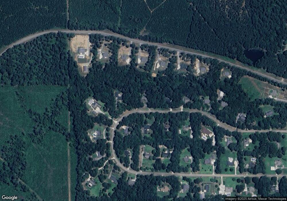
Map
Nearby Homes
- 136 Shade Tree Trace
- 180 Vz Top Farm Rd
- Lot 1B Unit 1 Harmony Church Rd
- 185 Mount Harmony Church Rd
- 193 Mount Harmony Church Rd
- 209 Mount Harmony Church Rd
- 144 Creeks Crossing
- 3252 Highway 821
- 128 Marlou Cir
- 209 Burgessville Rd
- 173 Oak Alley Dr
- 000 Highway 167
- 0 English Turn
- 1709 Rampart Dr
- 2900 Post Oak Dr
- 641 Goodgoin Rd
- 2805 Post Oak Dr
- 3001 Belcara Dr
- 327 Jefferson Oaks Dr
- 145 Woodshire Ln
- 112 Adam Cir
- 116 Adam Cir
- 113 Adam Cir
- 115 Adam Cir
- 111 Adam Cir
- 110 Adam Cir
- 990 Highway 3072
- 974 Highway 3072
- 1008 Louisiana 3072
- 118 Adam Cir
- 960 Louisiana 3072
- 1026 Louisiana 3072
- 1008 Highway 3072
- 109 Adam Cir
- 942 Highway 3072
- 120 Adam Cir
- 990 Louisiana 3072
- 205 Adam Cir
- 207 Adam Cir
- 108 Adam Cir
Your Personal Tour Guide
Ask me questions while you tour the home.