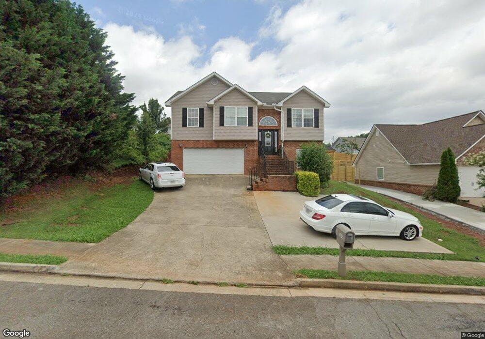
114 Andasol Way Dalton, GA 30720
Estimated Value: $276,000 - $342,000
4
Beds
3
Baths
2,029
Sq Ft
$149/Sq Ft
Est. Value
About This Home
This home is located at 114 Andasol Way, Dalton, GA 30720 and is currently estimated at $302,885, approximately $149 per square foot. 114 Andasol Way is a home located in Whitfield County with nearby schools including Brookwood Elementary School, Dalton Middle School, and Dalton High School.
Ownership History
Date
Name
Owned For
Owner Type
Purchase Details
Closed on
Jun 25, 2010
Sold by
First Bank Of Dalton
Bought by
Guerrero Gilbardo
Current Estimated Value
Home Financials for this Owner
Home Financials are based on the most recent Mortgage that was taken out on this home.
Original Mortgage
$114,000
Outstanding Balance
$75,944
Interest Rate
4.77%
Mortgage Type
New Conventional
Estimated Equity
$226,941
Purchase Details
Closed on
Mar 2, 2010
Sold by
First Bank Of Dalton
Bought by
First Bank Of Dalton
Purchase Details
Closed on
Jan 20, 2006
Sold by
Not Provided
Bought by
Guerrero Gilbardo
Create a Home Valuation Report for This Property
The Home Valuation Report is an in-depth analysis detailing your home's value as well as a comparison with similar homes in the area
Home Values in the Area
Average Home Value in this Area
Purchase History
| Date | Buyer | Sale Price | Title Company |
|---|---|---|---|
| Guerrero Gilbardo | $120,000 | -- | |
| First Bank Of Dalton | -- | -- | |
| Guerrero Gilbardo | $31,500 | -- |
Source: Public Records
Mortgage History
| Date | Status | Borrower | Loan Amount |
|---|---|---|---|
| Open | First Bank Of Dalton | $114,000 |
Source: Public Records
Tax History Compared to Growth
Tax History
| Year | Tax Paid | Tax Assessment Tax Assessment Total Assessment is a certain percentage of the fair market value that is determined by local assessors to be the total taxable value of land and additions on the property. | Land | Improvement |
|---|---|---|---|---|
| 2024 | $3,453 | $114,938 | $15,200 | $99,738 |
| 2023 | $2,304 | $74,279 | $14,600 | $59,679 |
| 2022 | $2,133 | $69,333 | $10,680 | $58,653 |
| 2021 | $2,137 | $69,333 | $10,680 | $58,653 |
| 2020 | $2,208 | $69,333 | $10,680 | $58,653 |
| 2019 | $2,273 | $69,333 | $10,680 | $58,653 |
| 2018 | $2,301 | $69,333 | $10,680 | $58,653 |
| 2017 | $2,209 | $69,333 | $10,680 | $58,653 |
| 2016 | $1,965 | $62,305 | $8,960 | $53,345 |
| 2014 | $1,675 | $57,670 | $8,960 | $48,710 |
| 2013 | -- | $57,670 | $8,960 | $48,710 |
Source: Public Records
Map
Nearby Homes
- 1411 Red Hill Dr
- 1815 City View St
- 1002 Frances St
- 11 Liberty St
- 920 Sunset Cir
- Lot 4 Liberty Dr
- Lot 10 Liberty Dr
- Lot 9 Liberty Dr
- 902 Mattie Dr
- Lot 5 River Bend Rd
- Lot 4 Riverbend Rd
- Lot 7 Riverbend Rd
- 1209 W Lakeshore Dr
- 934 Hardwick Cir
- 191 Hanks Bend
- 1307 Valencia Way
- 903 Hillcrest St
- 171 Bear Den Ct
- 703 W Walnut Ave
- 1230 Valencia Dr