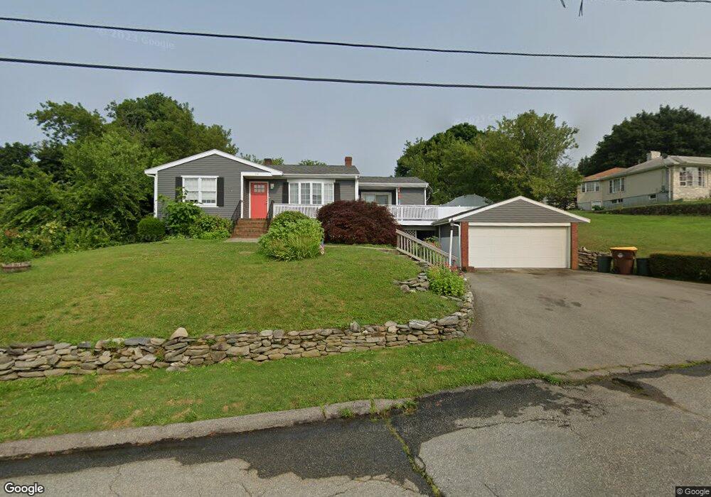
114 Andrews St Fall River, MA 02724
Sandy Beach NeighborhoodEstimated Value: $444,393 - $499,000
2
Beds
1
Bath
1,653
Sq Ft
$291/Sq Ft
Est. Value
About This Home
This home is located at 114 Andrews St, Fall River, MA 02724 and is currently estimated at $481,098, approximately $291 per square foot. 114 Andrews St is a home located in Bristol County with nearby schools including Carlton M. Viveiros Elementary School, Matthew J. Kuss Middle School, and B M C Durfee High School.
Ownership History
Date
Name
Owned For
Owner Type
Purchase Details
Closed on
Sep 2, 1986
Bought by
Winarski Steven R and Winarski Susan B
Current Estimated Value
Create a Home Valuation Report for This Property
The Home Valuation Report is an in-depth analysis detailing your home's value as well as a comparison with similar homes in the area
Home Values in the Area
Average Home Value in this Area
Purchase History
| Date | Buyer | Sale Price | Title Company |
|---|---|---|---|
| Winarski Steven R | $125,000 | -- |
Source: Public Records
Mortgage History
| Date | Status | Borrower | Loan Amount |
|---|---|---|---|
| Open | Winarski Steven R | $75,000 | |
| Closed | Winarski Steven R | $25,000 | |
| Closed | Winarski Steven R | $100,000 | |
| Closed | Winarski Steven R | $9,200 |
Source: Public Records
Tax History
| Year | Tax Paid | Tax Assessment Tax Assessment Total Assessment is a certain percentage of the fair market value that is determined by local assessors to be the total taxable value of land and additions on the property. | Land | Improvement |
|---|---|---|---|---|
| 2025 | $4,556 | $397,900 | $125,700 | $272,200 |
| 2024 | $4,275 | $372,100 | $123,200 | $248,900 |
| 2023 | $4,282 | $349,000 | $111,000 | $238,000 |
| 2022 | $3,801 | $301,200 | $104,700 | $196,500 |
| 2021 | $3,571 | $258,200 | $100,100 | $158,100 |
| 2020 | $3,438 | $237,900 | $95,500 | $142,400 |
| 2019 | $3,403 | $233,400 | $99,800 | $133,600 |
| 2018 | $3,297 | $225,500 | $100,500 | $125,000 |
| 2017 | $3,130 | $223,600 | $100,500 | $123,100 |
| 2016 | $3,016 | $221,300 | $103,600 | $117,700 |
| 2015 | $2,943 | $225,000 | $103,600 | $121,400 |
| 2014 | $2,831 | $225,000 | $103,600 | $121,400 |
Source: Public Records
Map
Nearby Homes
- 110 Andrews St
- 110 Andrews St Unit 1
- 605 Mount Hope Ave
- 605 Mount Hope Ave Unit 3
- 130 Andrews St
- 621 Mount Hope Ave
- 113 Andrews St
- 119 Andrews St
- 633 Mount Hope Ave
- 105 Andrews St
- 131 Andrews St
- 575 Mount Hope Ave Unit 577
- 649 Mount Hope Ave
- 70 Barrows St Unit 2
- 70 Barrows St Unit 6
- 70 Barrows St Unit 4
- 70 Barrows St Unit 7
- 70 Barrows St
- 70 Barrows St Unit 1
- 70 Barrows St
Your Personal Tour Guide
Ask me questions while you tour the home.