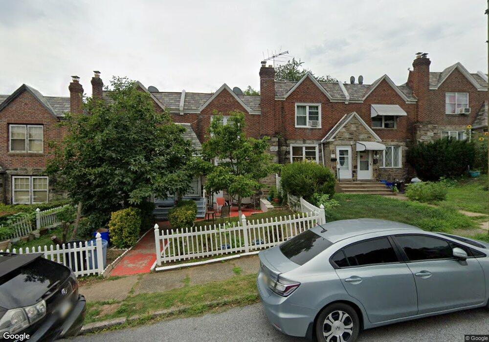
114 Ashton Rd Upper Darby, PA 19082
Estimated Value: $182,915 - $249,000
3
Beds
2
Baths
1,170
Sq Ft
$180/Sq Ft
Est. Value
About This Home
This home is located at 114 Ashton Rd, Upper Darby, PA 19082 and is currently estimated at $210,729, approximately $180 per square foot. 114 Ashton Rd is a home located in Delaware County with nearby schools including Bywood Elementary School, Upper Darby Kdg Center, and Upper Darby High School.
Ownership History
Date
Name
Owned For
Owner Type
Purchase Details
Closed on
Jun 30, 2003
Sold by
Bengermino Lena
Bought by
Shameem Abdus and Shameem Yasmin Sabeha
Current Estimated Value
Home Financials for this Owner
Home Financials are based on the most recent Mortgage that was taken out on this home.
Original Mortgage
$52,875
Outstanding Balance
$22,818
Interest Rate
5.46%
Mortgage Type
Purchase Money Mortgage
Estimated Equity
$187,911
Create a Home Valuation Report for This Property
The Home Valuation Report is an in-depth analysis detailing your home's value as well as a comparison with similar homes in the area
Home Values in the Area
Average Home Value in this Area
Purchase History
| Date | Buyer | Sale Price | Title Company |
|---|---|---|---|
| Shameem Abdus | $70,500 | T A Title Insurance Company |
Source: Public Records
Mortgage History
| Date | Status | Borrower | Loan Amount |
|---|---|---|---|
| Open | Shameem Abdus | $52,875 |
Source: Public Records
Tax History Compared to Growth
Tax History
| Year | Tax Paid | Tax Assessment Tax Assessment Total Assessment is a certain percentage of the fair market value that is determined by local assessors to be the total taxable value of land and additions on the property. | Land | Improvement |
|---|---|---|---|---|
| 2025 | $3,507 | $82,920 | $23,550 | $59,370 |
| 2024 | $3,507 | $82,920 | $23,550 | $59,370 |
| 2023 | $3,474 | $82,920 | $23,550 | $59,370 |
| 2022 | $3,380 | $82,920 | $23,550 | $59,370 |
| 2021 | $4,558 | $82,920 | $23,550 | $59,370 |
| 2020 | $3,615 | $55,890 | $18,320 | $37,570 |
| 2019 | $3,552 | $55,890 | $18,320 | $37,570 |
| 2018 | $3,511 | $55,890 | $0 | $0 |
| 2017 | $3,420 | $55,890 | $0 | $0 |
| 2016 | $307 | $55,890 | $0 | $0 |
| 2015 | $307 | $55,890 | $0 | $0 |
| 2014 | $307 | $55,890 | $0 | $0 |
Source: Public Records
Map
Nearby Homes
- 7265 Calvin Rd
- 142 Springton Rd
- 92 Springton Rd
- 7249 Spruce St
- 339 Huntley Rd
- 432 Grace Rd
- 108 Margate Rd
- 273 Coverly Rd
- 7251 Bradford Rd
- 433 Copley Rd
- 346 Long Ln
- 337 Copley Rd
- 419 Gilpin Rd
- 404 Croyden Rd
- 291 N Wycombe Ave
- 418 Hampden Rd
- 309 N Maple Ave
- 181 E Plumstead Ave
- 426 Hampden Rd
- 7114 Locust St