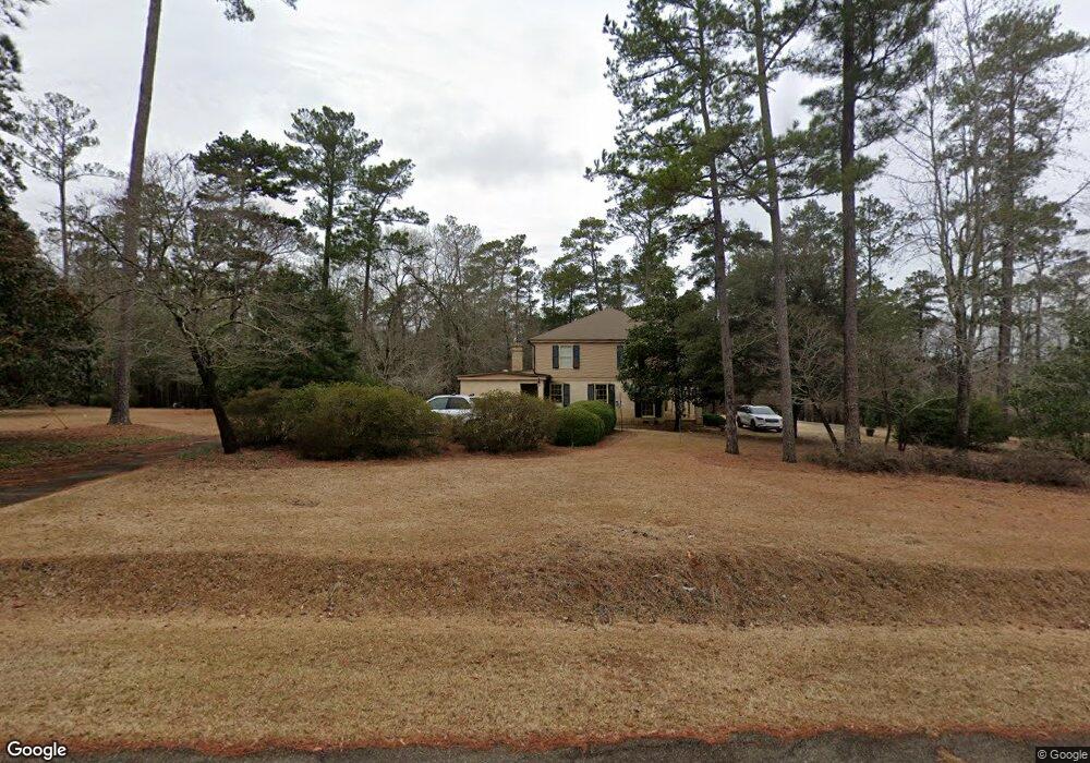
114 Country Lane Rd Americus, GA 31709
Estimated Value: $370,226 - $439,000
5
Beds
4
Baths
3,940
Sq Ft
$104/Sq Ft
Est. Value
About This Home
This home is located at 114 Country Lane Rd, Americus, GA 31709 and is currently estimated at $408,807, approximately $103 per square foot. 114 Country Lane Rd is a home located in Sumter County with nearby schools including Sumter County Primary School, Sumter County Elementary School, and Sumter County Middle School.
Ownership History
Date
Name
Owned For
Owner Type
Purchase Details
Closed on
May 25, 2001
Sold by
Riccardi Louis A
Bought by
Riccardi Katianne G
Current Estimated Value
Purchase Details
Closed on
Jan 13, 1984
Sold by
Riccardi Louis A
Bought by
Riccardi Louis A
Purchase Details
Closed on
Sep 9, 1974
Bought by
Riccardi Louis A
Create a Home Valuation Report for This Property
The Home Valuation Report is an in-depth analysis detailing your home's value as well as a comparison with similar homes in the area
Home Values in the Area
Average Home Value in this Area
Purchase History
| Date | Buyer | Sale Price | Title Company |
|---|---|---|---|
| Riccardi Katianne G | -- | -- | |
| Riccardi Louis A | -- | -- | |
| Riccardi Louis A | -- | -- |
Source: Public Records
Tax History Compared to Growth
Tax History
| Year | Tax Paid | Tax Assessment Tax Assessment Total Assessment is a certain percentage of the fair market value that is determined by local assessors to be the total taxable value of land and additions on the property. | Land | Improvement |
|---|---|---|---|---|
| 2024 | $3,774 | $108,032 | $13,480 | $94,552 |
| 2023 | $3,669 | $108,032 | $13,480 | $94,552 |
| 2022 | $3,669 | $108,032 | $13,480 | $94,552 |
| 2021 | $3,677 | $108,032 | $13,480 | $94,552 |
| 2020 | $3,789 | $108,032 | $13,480 | $94,552 |
| 2019 | $3,725 | $108,032 | $13,480 | $94,552 |
| 2018 | $3,725 | $108,032 | $13,480 | $94,552 |
| 2017 | $3,725 | $108,032 | $13,480 | $94,552 |
| 2016 | $3,728 | $108,032 | $13,480 | $94,552 |
| 2015 | $3,865 | $114,792 | $13,480 | $101,312 |
| 2014 | $3,871 | $114,792 | $13,480 | $101,312 |
| 2013 | -- | $114,792 | $13,480 | $101,312 |
Source: Public Records
Map
Nearby Homes
- 254 Georgia 49
- 279 Upper River Rd
- 108 Southland Ridge Dr
- 118 Southland Ridge Dr
- 401 Rigas Rd
- TBD Hillside Dr
- 111 Cedar Ridge Dr
- 303 Sun Valley Dr
- 118 Sharon Cir
- 113 Clearview Cir
- 400 Georgia 27
- TBD District Line Rd
- 1302 Crawford St
- 0 Ashley Rd
- Lot 52 Dellwood Dr
- lot 47 Greenwood Dr
- 234 Edgewood Dr
- 226 Edgewood Dr
- 208 Edgewood Dr
- 1720 E Lamar St
- 320 Ga Highway 49 N
- 149 Country Lane Rd
- 157 Country Lane Rd
- 303 Ga Highway 49 N
- 135 Wood Valley Rd
- 149 Wood Valley Rd
- 471 Upper River Rd
- 179 Wood Valley Rd
- 108 Wood Valley Rd
- 126 Wood Valley Rd
- 159 Wood Valley Rd
- 138 Wood Valley Rd
- 285 Ga Highway 49 N
- 142 Wood Valley Rd
- 154 Wood Valley Rd
- 170 Wood Valley Rd
- 158 Wood Valley Rd
- 375 Upper River Rd
- 215 Briarwood Cir
- 200 Wood Valley Rd