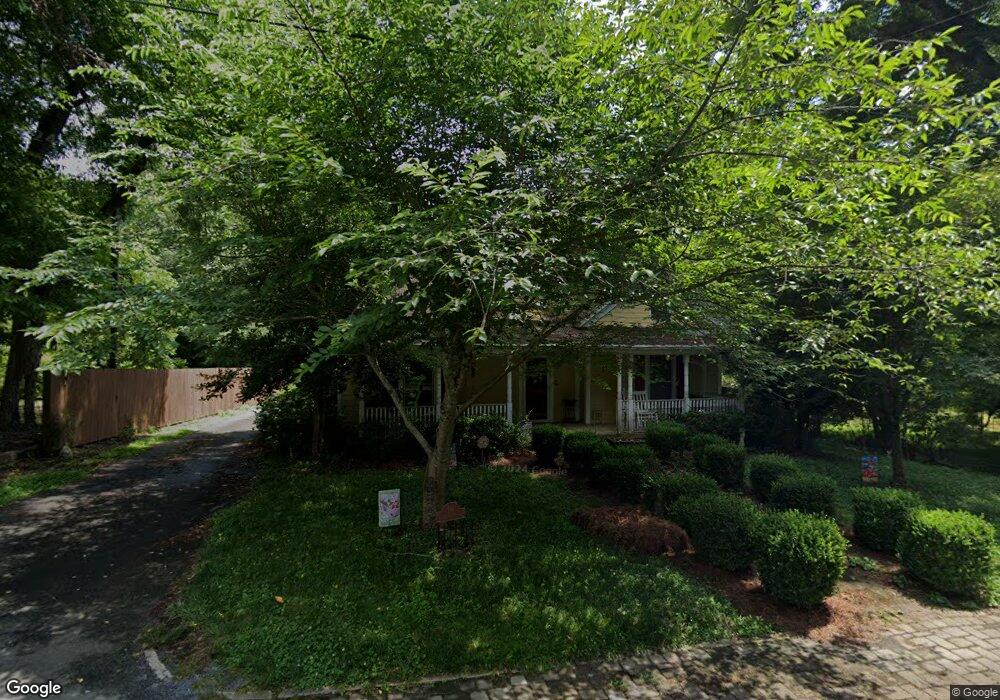
114 E Ingram St Mount Gilead, NC 27306
Estimated Value: $249,000 - $352,000
3
Beds
2
Baths
2,464
Sq Ft
$119/Sq Ft
Est. Value
About This Home
This home is located at 114 E Ingram St, Mount Gilead, NC 27306 and is currently estimated at $293,890, approximately $119 per square foot. 114 E Ingram St is a home located in Montgomery County with nearby schools including Mount Gilead Elementary School and West Middle School.
Ownership History
Date
Name
Owned For
Owner Type
Purchase Details
Closed on
Jul 2, 2015
Sold by
Carter James P and Carter Susan J
Bought by
Ford Eastman Bryant
Current Estimated Value
Home Financials for this Owner
Home Financials are based on the most recent Mortgage that was taken out on this home.
Original Mortgage
$138,800
Outstanding Balance
$108,341
Interest Rate
3.89%
Mortgage Type
New Conventional
Estimated Equity
$185,549
Purchase Details
Closed on
Feb 5, 2010
Sold by
Gggp Llc
Bought by
Mansfield Blake and Mansfield Jessica
Home Financials for this Owner
Home Financials are based on the most recent Mortgage that was taken out on this home.
Original Mortgage
$87,000
Interest Rate
5.02%
Mortgage Type
New Conventional
Purchase Details
Closed on
Aug 24, 2007
Sold by
Brewer Laura Gay
Bought by
Haywood Management Llc
Create a Home Valuation Report for This Property
The Home Valuation Report is an in-depth analysis detailing your home's value as well as a comparison with similar homes in the area
Home Values in the Area
Average Home Value in this Area
Purchase History
| Date | Buyer | Sale Price | Title Company |
|---|---|---|---|
| Ford Eastman Bryant | $173,500 | None Available | |
| Mansfield Blake | $109,000 | -- | |
| Haywood Management Llc | $14,000 | -- |
Source: Public Records
Mortgage History
| Date | Status | Borrower | Loan Amount |
|---|---|---|---|
| Open | Ford Eastman Bryant | $138,800 | |
| Previous Owner | Mansfield Blake | $87,000 |
Source: Public Records
Tax History Compared to Growth
Tax History
| Year | Tax Paid | Tax Assessment Tax Assessment Total Assessment is a certain percentage of the fair market value that is determined by local assessors to be the total taxable value of land and additions on the property. | Land | Improvement |
|---|---|---|---|---|
| 2025 | $2,037 | $171,916 | $5,550 | $166,366 |
| 2024 | $2,037 | $171,916 | $5,550 | $166,366 |
| 2023 | $2,037 | $171,916 | $5,550 | $166,366 |
| 2022 | $2,037 | $171,916 | $5,550 | $166,366 |
| 2021 | $2,037 | $171,916 | $5,550 | $166,366 |
| 2020 | $2,037 | $171,916 | $5,550 | $166,366 |
| 2019 | $1,894 | $159,200 | $5,550 | $153,650 |
| 2018 | $1,894 | $159,200 | $5,550 | $153,650 |
| 2017 | $1,894 | $159,200 | $5,550 | $153,650 |
| 2016 | $1,894 | $159,200 | $5,550 | $153,650 |
| 2015 | $1,815 | $159,200 | $0 | $0 |
| 2014 | $1,815 | $159,171 | $0 | $0 |
Source: Public Records
Map
Nearby Homes
- 105 E 2nd Ave
- 403 Julius Chambers Ave
- 401 Julius Chambers Ave
- 00 Pleasant Valley Rd
- 318 Stanback St
- 128 Loblolly Dr
- 000 N Carolina 109
- 141 Lewis St
- 00 Rock Dr
- 174 Mask Rd Unit tract 3
- 302 Williams St
- 211 Rock Dr
- 0 Webb Loop Rd
- 517 Mask Rd
- 2485 Nc Highway 109 S
- 4207 N Carolina 73
- 368 Gaddy Farm Rd
- 647 McKay Hill Rd
- 0 Russ Dr Unit 7 CAR4299539
- Lot 14 Russ Dr
- 201 E Ingram St
- 118 E Ingram St
- 110 E Ingram St
- 100 Sunrise Ave
- 108 E Ingram St
- 120 E Ingram St
- 101 Sunrise Ave
- 102 Sunrise Ave
- 122 E Ingram St
- 104 Sunrise Ave
- 105 E Ingram St
- 103 Sunrise Ave
- 115 E Allenton St
- 205 E Ingram St
- 106 Sunrise Ave
- 105 Sunrise Ave
- 111 E Allenton St
- 202 E 2nd Ave
- 204 E 2nd Ave
- 206 E 2nd Ave