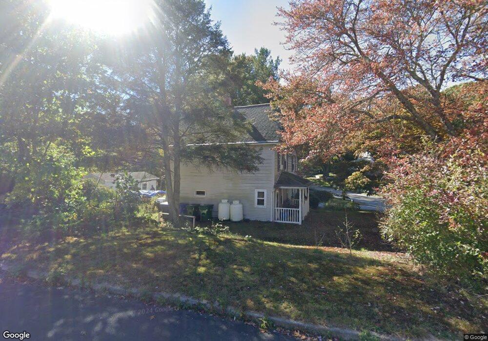
114 Fog Plain Rd Waterford, CT 06385
Estimated Value: $371,328 - $505,000
4
Beds
2
Baths
1,794
Sq Ft
$235/Sq Ft
Est. Value
About This Home
This home is located at 114 Fog Plain Rd, Waterford, CT 06385 and is currently estimated at $420,832, approximately $234 per square foot. 114 Fog Plain Rd is a home located in New London County with nearby schools including Clark Lane Middle School, Waterford High School, and New London High School Multi-Magnet Campus.
Ownership History
Date
Name
Owned For
Owner Type
Purchase Details
Closed on
Apr 27, 1994
Sold by
Parks Joseph A and Parks Elisa M
Bought by
Swift Peter A and Swift Donna M
Current Estimated Value
Purchase Details
Closed on
Sep 28, 1989
Sold by
Costanzo Nicholas
Bought by
Brown James
Create a Home Valuation Report for This Property
The Home Valuation Report is an in-depth analysis detailing your home's value as well as a comparison with similar homes in the area
Home Values in the Area
Average Home Value in this Area
Purchase History
| Date | Buyer | Sale Price | Title Company |
|---|---|---|---|
| Swift Peter A | $125,000 | -- | |
| Brown James | $130,000 | -- |
Source: Public Records
Mortgage History
| Date | Status | Borrower | Loan Amount |
|---|---|---|---|
| Open | Brown James | $100,000 | |
| Closed | Brown James | $50,000 | |
| Closed | Brown James | $118,000 |
Source: Public Records
Tax History Compared to Growth
Tax History
| Year | Tax Paid | Tax Assessment Tax Assessment Total Assessment is a certain percentage of the fair market value that is determined by local assessors to be the total taxable value of land and additions on the property. | Land | Improvement |
|---|---|---|---|---|
| 2025 | $3,915 | $167,610 | $67,160 | $100,450 |
| 2024 | $3,738 | $167,610 | $67,160 | $100,450 |
| 2023 | $3,553 | $167,610 | $67,160 | $100,450 |
| 2022 | $3,764 | $136,580 | $49,660 | $86,920 |
| 2021 | $3,775 | $136,580 | $49,660 | $86,920 |
| 2020 | $3,806 | $136,580 | $49,660 | $86,920 |
| 2019 | $3,822 | $136,580 | $49,660 | $86,920 |
| 2018 | $3,745 | $136,580 | $49,660 | $86,920 |
| 2017 | $3,771 | $139,500 | $52,580 | $86,920 |
| 2016 | $3,736 | $139,500 | $52,580 | $86,920 |
| 2015 | $3,603 | $139,500 | $52,580 | $86,920 |
| 2014 | $3,460 | $139,500 | $52,580 | $86,920 |
Source: Public Records
Map
Nearby Homes
- 267 Boston Post Rd
- 270 Boston Post Rd Unit 22
- 7 Robin St
- 213 Boston Post Rd
- 27 Mullen Hill Rd
- 310 Boston Post Rd Unit 86
- 164 Stoneheights Dr Unit 164
- 54 Rope Ferry Rd Unit H133
- 32 Stoneheights Dr Unit 32
- 24 Stoneheights Dr
- 140 Waterford Pkwy S
- 9 Rock Ridge Rd
- 127 Spithead Rd
- 16 Beechwood Dr
- 398 & 402 Boston Post Rd
- 398 Boston Post Rd
- 168 Waterford Pkwy S Unit B25
- 9 Arrowhead Trail
- 37 Spithead Rd
- 24 Pine St
- 112 Fog Plain Rd
- 24 Edgewood Ave
- 117 Fog Plain Rd
- 122 Fog Plain Rd
- 22 Edgewood Ave
- 20 Edgewood Ave
- 110 Fog Plain Rd
- 119 Fog Plain Rd
- 41 Brill Ave
- 39 Brill Ave
- 18 Edgewood Ave
- 37 Brill Ave
- 35 Brill Ave
- 43 Brill Ave
- 33 Brill Ave
- 16 Edgewood Ave
- 15 Edgewood Ave
- 123 Fog Plain Rd
- 31 Brill Ave
- 48 Brill Ave