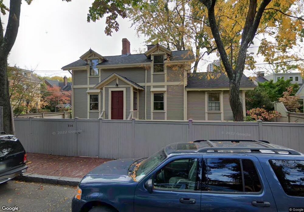
114 Foster St Cambridge, MA 02138
West Cambridge NeighborhoodEstimated Value: $2,445,831 - $2,830,000
3
Beds
3
Baths
1,568
Sq Ft
$1,665/Sq Ft
Est. Value
About This Home
This home is located at 114 Foster St, Cambridge, MA 02138 and is currently estimated at $2,610,958, approximately $1,665 per square foot. 114 Foster St is a home located in Middlesex County with nearby schools including St Peter School, Buckingham Browne & Nichols School, and Shady Hill School.
Ownership History
Date
Name
Owned For
Owner Type
Purchase Details
Closed on
Sep 24, 1985
Bought by
Neczypor Francis M
Current Estimated Value
Create a Home Valuation Report for This Property
The Home Valuation Report is an in-depth analysis detailing your home's value as well as a comparison with similar homes in the area
Home Values in the Area
Average Home Value in this Area
Purchase History
| Date | Buyer | Sale Price | Title Company |
|---|---|---|---|
| Neczypor Francis M | $373,000 | -- |
Source: Public Records
Mortgage History
| Date | Status | Borrower | Loan Amount |
|---|---|---|---|
| Open | Neczypor Francis M | $370,000 | |
| Closed | Neczypor Francis M | $350,000 | |
| Closed | Neczypor Francis M | $200,000 |
Source: Public Records
Tax History Compared to Growth
Tax History
| Year | Tax Paid | Tax Assessment Tax Assessment Total Assessment is a certain percentage of the fair market value that is determined by local assessors to be the total taxable value of land and additions on the property. | Land | Improvement |
|---|---|---|---|---|
| 2025 | $14,595 | $2,298,400 | $1,528,900 | $769,500 |
| 2024 | $13,225 | $2,233,900 | $1,496,900 | $737,000 |
| 2023 | $12,322 | $2,102,700 | $1,464,900 | $637,800 |
| 2022 | $11,878 | $2,006,500 | $1,441,300 | $565,200 |
| 2021 | $11,345 | $1,939,400 | $1,413,300 | $526,100 |
| 2020 | $10,715 | $1,863,400 | $1,364,300 | $499,100 |
| 2019 | $9,850 | $1,658,300 | $1,196,400 | $461,900 |
| 2018 | $10,256 | $1,630,600 | $1,189,400 | $441,200 |
| 2017 | $10,398 | $1,602,100 | $1,189,400 | $412,700 |
| 2016 | $9,988 | $1,428,900 | $1,046,000 | $382,900 |
| 2015 | $10,207 | $1,305,300 | $962,100 | $343,200 |
| 2014 | $10,167 | $1,213,300 | $874,600 | $338,700 |
Source: Public Records
Map
Nearby Homes
- 20 Maynard Place
- 15 Hubbard Park Rd
- 48 Hubbard Park Rd
- 1010 Memorial Dr Unit 6G
- 158 Brattle St
- 153 Brattle St
- 172 Brattle St
- 3 Berkeley Place
- 32 Hawthorn St
- 12 Berkeley St
- 988 Memorial Dr Unit 386
- 234 Huron Ave
- 22 Concord Ave Unit 10
- 986 Memorial Dr Unit 404
- 984 Memorial Dr Unit 984-503
- 983 Memorial Dr Unit 502
- 44 Garden St
- 52 Garden St Unit B2
- 130 Mount Auburn St Unit 108
- 71-73 Reservoir St