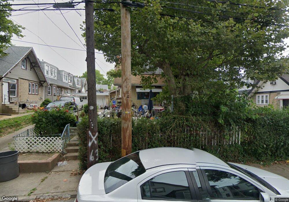
114 Hampden Rd Upper Darby, PA 19082
Estimated Value: $251,412 - $291,000
3
Beds
1
Bath
1,824
Sq Ft
$153/Sq Ft
Est. Value
About This Home
This home is located at 114 Hampden Rd, Upper Darby, PA 19082 and is currently estimated at $278,353, approximately $152 per square foot. 114 Hampden Rd is a home located in Delaware County with nearby schools including Bywood Elementary School, Upper Darby High School, and Vision Academy Charter School.
Ownership History
Date
Name
Owned For
Owner Type
Purchase Details
Closed on
Nov 30, 1999
Sold by
Mcfarlane Elizabeth S and Mcfarlane Elizabeth L
Bought by
Alauddin Sheikh and Begum Khurshida
Current Estimated Value
Home Financials for this Owner
Home Financials are based on the most recent Mortgage that was taken out on this home.
Original Mortgage
$59,969
Outstanding Balance
$18,773
Interest Rate
7.86%
Mortgage Type
FHA
Estimated Equity
$259,580
Create a Home Valuation Report for This Property
The Home Valuation Report is an in-depth analysis detailing your home's value as well as a comparison with similar homes in the area
Home Values in the Area
Average Home Value in this Area
Purchase History
| Date | Buyer | Sale Price | Title Company |
|---|---|---|---|
| Alauddin Sheikh | $60,000 | T A Title Insurance Company |
Source: Public Records
Mortgage History
| Date | Status | Borrower | Loan Amount |
|---|---|---|---|
| Open | Alauddin Sheikh | $59,969 |
Source: Public Records
Tax History Compared to Growth
Tax History
| Year | Tax Paid | Tax Assessment Tax Assessment Total Assessment is a certain percentage of the fair market value that is determined by local assessors to be the total taxable value of land and additions on the property. | Land | Improvement |
|---|---|---|---|---|
| 2025 | $4,982 | $117,790 | $30,360 | $87,430 |
| 2024 | $4,982 | $117,790 | $30,360 | $87,430 |
| 2023 | $4,935 | $117,790 | $30,360 | $87,430 |
| 2022 | $4,802 | $117,790 | $30,360 | $87,430 |
| 2021 | $6,475 | $117,790 | $30,360 | $87,430 |
| 2020 | $3,991 | $61,700 | $17,940 | $43,760 |
| 2019 | $3,921 | $61,700 | $17,940 | $43,760 |
| 2018 | $3,876 | $61,700 | $0 | $0 |
| 2017 | $3,775 | $61,700 | $0 | $0 |
| 2016 | $346 | $61,700 | $0 | $0 |
| 2015 | $339 | $61,700 | $0 | $0 |
| 2014 | $339 | $61,700 | $0 | $0 |
Source: Public Records
Map
Nearby Homes
- 143 Springton Rd
- 149 Springton Rd
- 7265 Calvin Rd
- 142 Springton Rd
- 339 Huntley Rd
- 243 Coverly Rd
- 7210 Spruce St
- 127 Sherbrook Blvd
- 324 Kingston Rd
- 432 Grace Rd
- 291 N Wycombe Ave
- 7247 Guilford Rd
- 433 Copley Rd
- 346 Long Ln
- 404 Croyden Rd
- 7181 Ruskin Ln
- 418 Hampden Rd
- 253 Shirley Rd
- 244 Wembly Rd
- 506 Hampden Rd