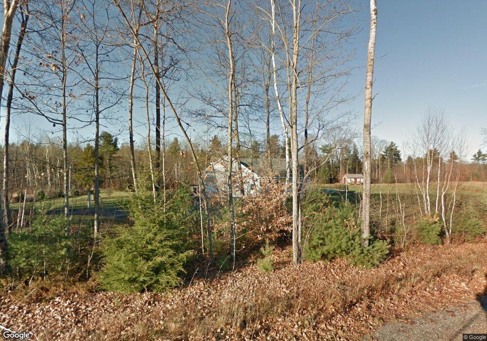
114 Harding Bridge Rd Gorham, ME 04038
Estimated Value: $772,000 - $787,523
4
Beds
3
Baths
2,364
Sq Ft
$329/Sq Ft
Est. Value
About This Home
This home is located at 114 Harding Bridge Rd, Gorham, ME 04038 and is currently estimated at $777,841, approximately $329 per square foot. 114 Harding Bridge Rd is a home located in Cumberland County with nearby schools including Great Falls Elementary School, Gorham Middle School, and Gorham High School.
Ownership History
Date
Name
Owned For
Owner Type
Purchase Details
Closed on
Aug 21, 2014
Sold by
Keef Lance J
Bought by
Haines Kelly M
Current Estimated Value
Purchase Details
Closed on
Aug 24, 2010
Sold by
Genthner Jeffrey D and Genthner Jodie R
Bought by
Keef Lance J and Haines Kelly M
Home Financials for this Owner
Home Financials are based on the most recent Mortgage that was taken out on this home.
Original Mortgage
$321,500
Interest Rate
4.63%
Mortgage Type
Unknown
Create a Home Valuation Report for This Property
The Home Valuation Report is an in-depth analysis detailing your home's value as well as a comparison with similar homes in the area
Home Values in the Area
Average Home Value in this Area
Purchase History
| Date | Buyer | Sale Price | Title Company |
|---|---|---|---|
| Haines Kelly M | -- | -- | |
| Keef Lance J | -- | -- |
Source: Public Records
Mortgage History
| Date | Status | Borrower | Loan Amount |
|---|---|---|---|
| Previous Owner | Keef Lance J | $321,500 | |
| Previous Owner | Keef Lance J | $300,000 |
Source: Public Records
Tax History
| Year | Tax Paid | Tax Assessment Tax Assessment Total Assessment is a certain percentage of the fair market value that is determined by local assessors to be the total taxable value of land and additions on the property. | Land | Improvement |
|---|---|---|---|---|
| 2025 | $8,879 | $599,900 | $109,800 | $490,100 |
| 2024 | $8,819 | $599,900 | $109,800 | $490,100 |
| 2023 | $8,249 | $599,900 | $109,800 | $490,100 |
| 2022 | $7,709 | $599,900 | $109,800 | $490,100 |
| 2021 | $6,790 | $350,000 | $86,300 | $263,700 |
| 2020 | $6,650 | $350,000 | $86,300 | $263,700 |
| 2019 | $6,633 | $350,000 | $86,300 | $263,700 |
| 2018 | $6,314 | $346,900 | $86,300 | $260,600 |
| 2017 | $5,932 | $346,900 | $86,300 | $260,600 |
| 2016 | $5,901 | $347,100 | $86,500 | $260,600 |
| 2015 | $5,658 | $347,100 | $86,500 | $260,600 |
| 2014 | $5,173 | $297,300 | $62,900 | $234,400 |
| 2013 | $5,162 | $298,400 | $64,000 | $234,400 |
Source: Public Records
Map
Nearby Homes
- 0 Libby Ave
- 7 Aspen Ln
- 8 Martin Dr
- 209 Mosher Rd
- 16 Norway Rd
- 51 Newell St
- 46 Sebago Lake Rd
- 182 Falcon Crest Dr Unit 56
- 188 Falcon Crest Dr Unit 58
- 192 Falcon Crest Dr Unit 59
- 194 Falcon Crest Dr Unit 60
- 193 Falcon Crest Dr Unit 33
- 187 Falcon Crest Dr Unit 30
- 191 Falcon Crest Dr Unit 32
- 189 Falcon Crest Dr Unit 31
- 195 Falcon Crest Dr Unit 34
- 771 Gray Rd
- 127 Falcon Crest Dr Unit 4
- 7 Trestle Way
- 12 Strouts Way
- 208 Ichabod Lane Extension
- 214 Ichabod Lane Extension
- 200 Ichabod Lane Extension
- 192 Ichabod Lane Extension
- 183 Ichabod Lane Extension
- 126 Harding Bridge Rd
- 103 Harding Bridge Rd
- 134 Harding Bridge Rd
- Lot 31 Ichabod Lane Extension
- 184 Ichabod Lane Extension
- 138 Harding Bridge Rd
- 108 Harding Bridge Rd
- 146 Harding Bridge Rd
- 175 Ichabod Lane Extension
- 150 Harding Bridge Rd Unit 5
- 150 Harding Bridge Rd
- 129 Harding Bridge Rd
- 174 Ichabod Lane Extension
- 139 Harding Bridge Rd
- 156 Harding Bridge Rd
Your Personal Tour Guide
Ask me questions while you tour the home.