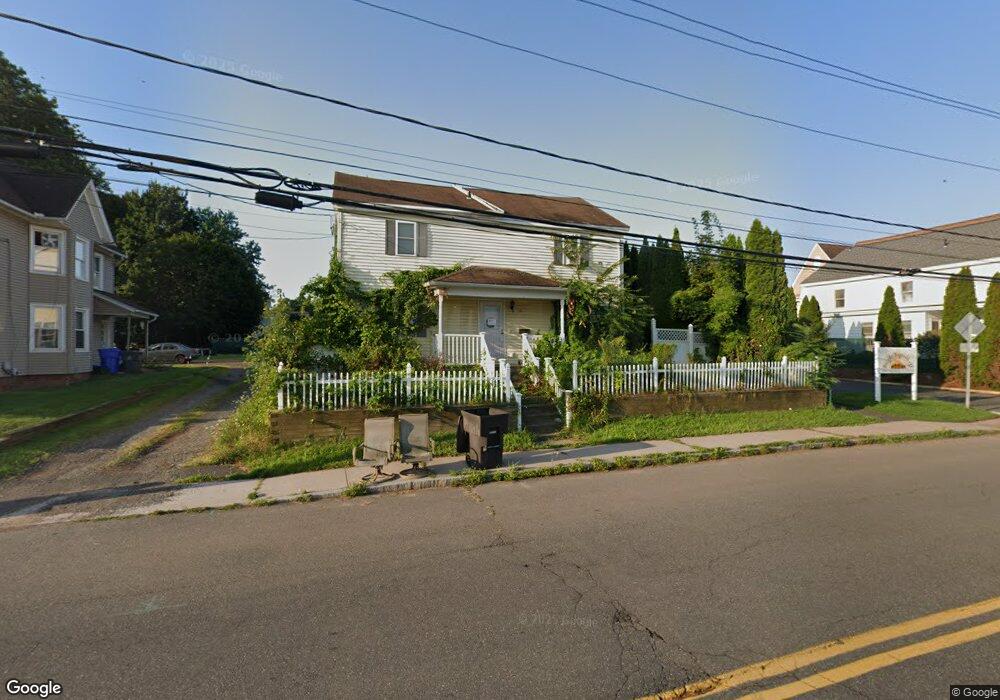
114 High St Enfield, CT 06082
Estimated Value: $291,970 - $303,000
3
Beds
2
Baths
1,888
Sq Ft
$157/Sq Ft
Est. Value
About This Home
This home is located at 114 High St, Enfield, CT 06082 and is currently estimated at $296,993, approximately $157 per square foot. 114 High St is a home located in Hartford County with nearby schools including Eli Whitney Elementary School, Hazardville Memorial Elementary School, and John F. Kennedy Middle School.
Ownership History
Date
Name
Owned For
Owner Type
Purchase Details
Closed on
Aug 23, 2006
Sold by
Mills Kenneth and Mills Miguerline
Bought by
Caouette Brian
Current Estimated Value
Home Financials for this Owner
Home Financials are based on the most recent Mortgage that was taken out on this home.
Original Mortgage
$193,982
Interest Rate
6.83%
Mortgage Type
VA
Purchase Details
Closed on
Apr 29, 2005
Sold by
Binns Richard
Bought by
Mills Kenneth
Purchase Details
Closed on
Jan 6, 2004
Sold by
White Steven
Bought by
Binns Eleanor
Create a Home Valuation Report for This Property
The Home Valuation Report is an in-depth analysis detailing your home's value as well as a comparison with similar homes in the area
Home Values in the Area
Average Home Value in this Area
Purchase History
| Date | Buyer | Sale Price | Title Company |
|---|---|---|---|
| Caouette Brian | $189,900 | -- | |
| Mills Kenneth | $174,900 | -- | |
| Binns Eleanor | $130,000 | -- |
Source: Public Records
Mortgage History
| Date | Status | Borrower | Loan Amount |
|---|---|---|---|
| Open | Binns Eleanor | $177,282 | |
| Closed | Binns Eleanor | $193,106 | |
| Closed | Binns Eleanor | $193,982 |
Source: Public Records
Tax History Compared to Growth
Tax History
| Year | Tax Paid | Tax Assessment Tax Assessment Total Assessment is a certain percentage of the fair market value that is determined by local assessors to be the total taxable value of land and additions on the property. | Land | Improvement |
|---|---|---|---|---|
| 2025 | $4,655 | $124,800 | $35,300 | $89,500 |
| 2024 | $4,530 | $124,800 | $35,300 | $89,500 |
| 2023 | $4,530 | $124,800 | $35,300 | $89,500 |
| 2022 | $4,197 | $124,800 | $35,300 | $89,500 |
| 2021 | $4,181 | $101,760 | $29,230 | $72,530 |
| 2020 | $4,141 | $101,760 | $29,230 | $72,530 |
| 2019 | $4,174 | $101,760 | $29,230 | $72,530 |
| 2018 | $4,084 | $101,760 | $29,230 | $72,530 |
| 2017 | $4,047 | $101,760 | $29,230 | $72,530 |
| 2016 | $3,919 | $99,980 | $29,230 | $70,750 |
| 2015 | $3,822 | $99,980 | $29,230 | $70,750 |
| 2014 | $3,637 | $99,980 | $29,230 | $70,750 |
Source: Public Records
Map
Nearby Homes
- 118 High St
- 106 High St
- 104 High St
- 102 High St
- 124 High St
- 126 High St
- 130 High St
- 130 High St Unit A
- 130 High St Unit 3
- 136 High St
- 1 Mcconn Ave
- 138 High St Unit 138 High Street
- 110 High St
- 5 Mcconn Ave
- 146 High St Unit OFFICE
- 146 High St
- 94 High St
- 4 Mcconn Ave
- 10 Burns Ave Unit 1-South
- 10 Burns Ave