114 Holly Ct Telford, PA 18969
Estimated Value: $483,000 - $700,000
4
Beds
3
Baths
2,220
Sq Ft
$270/Sq Ft
Est. Value
About This Home
This home is located at 114 Holly Ct, Telford, PA 18969 and is currently estimated at $598,867, approximately $269 per square foot. 114 Holly Ct is a home located in Bucks County with nearby schools including Pennridge High School, Souderton Charter School Collaborative, and Grace Christian School.
Ownership History
Date
Name
Owned For
Owner Type
Purchase Details
Closed on
Apr 20, 2007
Sold by
Rios Debra A and Williams Debra A
Bought by
Brown Christopher R and Brown Rebecca A
Current Estimated Value
Home Financials for this Owner
Home Financials are based on the most recent Mortgage that was taken out on this home.
Original Mortgage
$324,000
Outstanding Balance
$196,867
Interest Rate
6.24%
Mortgage Type
Unknown
Estimated Equity
$402,000
Purchase Details
Closed on
Apr 9, 2007
Sold by
Rios Debra A and Rios Michael A
Bought by
Williams Debra A
Home Financials for this Owner
Home Financials are based on the most recent Mortgage that was taken out on this home.
Original Mortgage
$324,000
Outstanding Balance
$196,867
Interest Rate
6.24%
Mortgage Type
Unknown
Estimated Equity
$402,000
Purchase Details
Closed on
Jan 24, 1997
Sold by
Longacre Henry W and Longacre Kenneth A
Bought by
Rios Michael A and Rios Debra A
Home Financials for this Owner
Home Financials are based on the most recent Mortgage that was taken out on this home.
Original Mortgage
$59,300
Interest Rate
7.57%
Create a Home Valuation Report for This Property
The Home Valuation Report is an in-depth analysis detailing your home's value as well as a comparison with similar homes in the area
Home Values in the Area
Average Home Value in this Area
Purchase History
| Date | Buyer | Sale Price | Title Company |
|---|---|---|---|
| Brown Christopher R | $405,000 | None Available | |
| Williams Debra A | -- | None Available | |
| Rios Michael A | $65,900 | -- |
Source: Public Records
Mortgage History
| Date | Status | Borrower | Loan Amount |
|---|---|---|---|
| Open | Brown Christopher R | $324,000 | |
| Previous Owner | Rios Michael A | $59,300 |
Source: Public Records
Tax History Compared to Growth
Tax History
| Year | Tax Paid | Tax Assessment Tax Assessment Total Assessment is a certain percentage of the fair market value that is determined by local assessors to be the total taxable value of land and additions on the property. | Land | Improvement |
|---|---|---|---|---|
| 2025 | $7,421 | $43,280 | $8,560 | $34,720 |
| 2024 | $7,421 | $43,280 | $8,560 | $34,720 |
| 2023 | $7,334 | $43,280 | $8,560 | $34,720 |
| 2022 | $7,334 | $43,280 | $8,560 | $34,720 |
| 2021 | $7,334 | $43,280 | $8,560 | $34,720 |
| 2020 | $7,334 | $43,280 | $8,560 | $34,720 |
| 2019 | $7,291 | $43,280 | $8,560 | $34,720 |
| 2018 | $7,291 | $43,280 | $8,560 | $34,720 |
| 2017 | $7,237 | $43,280 | $8,560 | $34,720 |
| 2016 | $7,237 | $43,280 | $8,560 | $34,720 |
| 2015 | -- | $43,280 | $8,560 | $34,720 |
| 2014 | -- | $43,280 | $8,560 | $34,720 |
Source: Public Records
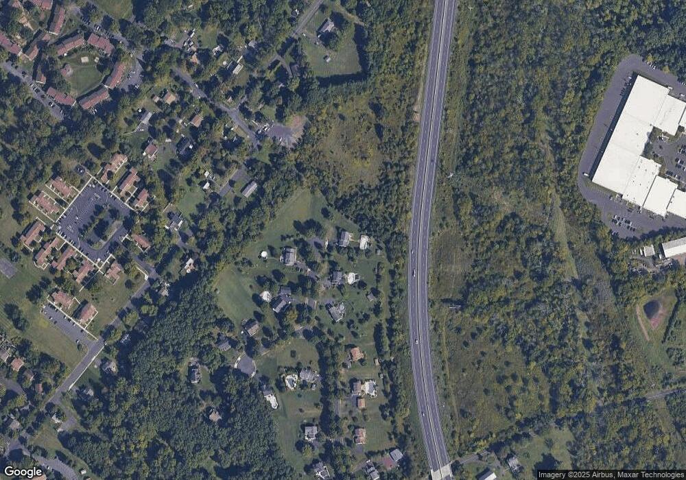
Map
Nearby Homes
- 54 Reliance Ct
- 23 Orchard Cir
- 340 S Main St
- 3 Carousel Dr
- 415 Wexford Way Unit D7
- 119 121 E Broad St
- 517 Hemsing Cir
- 223 W Reliance Rd
- 536 Valley Ln
- 227 Ridge Ave
- 532 Lincoln Ave
- 196 Penn Ave
- 428 E Broad St
- 837 Wynnefield Dr
- 103 Arlington Ln
- 3000 Walnut Ln
- 17 N 2nd St
- 3005 Walnut Ln
- 208 E Broad St
- 447 Manor House Ln
- 112 Holly Ct
- 111 Holly Ct
- 110 Holly Ct
- 332 E Summit Ave
- 109 Holly Ct
- 112 Rosewood Dr
- 110 Rosewood Dr
- 108 Rosewood Dr
- 113 Rosewood Dr
- 600 E Reliance Rd
- 106 Rosewood Dr
- 419 E Summit Ave
- 107 Rosewood Dr
- 433 E Summit Ave
- 330 E Summit Ave
- 111 Rosewood Dr
- 608 E Reliance Rd
- 1 E Reliance Rd
- 5 E Reliance Rd
- 407 E Summit Ave