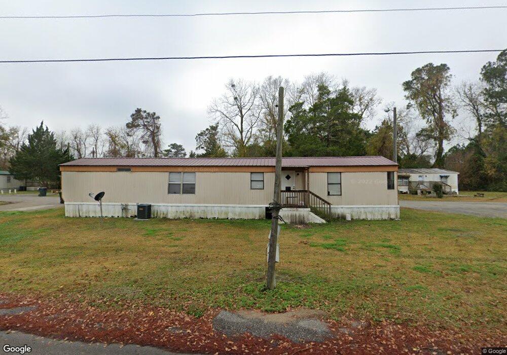
114 Langston Dr Conway, SC 29526
Estimated Value: $334,000 - $350,000
3
Beds
2
Baths
2,003
Sq Ft
$172/Sq Ft
Est. Value
About This Home
This home is located at 114 Langston Dr, Conway, SC 29526 and is currently estimated at $344,156, approximately $171 per square foot. 114 Langston Dr is a home located in Horry County with nearby schools including Carolina Forest Elementary School, Ten Oaks Middle, and Carolina Forest High School.
Ownership History
Date
Name
Owned For
Owner Type
Purchase Details
Closed on
Jan 22, 2021
Sold by
Koppel Leo A
Bought by
Nappi Andrew Gerald and Nappi Penny Jean
Current Estimated Value
Home Financials for this Owner
Home Financials are based on the most recent Mortgage that was taken out on this home.
Original Mortgage
$180,000
Outstanding Balance
$160,338
Interest Rate
2.6%
Mortgage Type
New Conventional
Estimated Equity
$183,818
Purchase Details
Closed on
Jun 9, 2003
Sold by
Burroughs Maryann C
Bought by
Koppel Leo A and Koppel Joan D
Home Financials for this Owner
Home Financials are based on the most recent Mortgage that was taken out on this home.
Original Mortgage
$80,000
Interest Rate
5.56%
Mortgage Type
Purchase Money Mortgage
Purchase Details
Closed on
Dec 29, 1999
Sold by
Hall Development Inc
Bought by
Preas Freddie G and Preas Jean D
Create a Home Valuation Report for This Property
The Home Valuation Report is an in-depth analysis detailing your home's value as well as a comparison with similar homes in the area
Home Values in the Area
Average Home Value in this Area
Purchase History
| Date | Buyer | Sale Price | Title Company |
|---|---|---|---|
| Nappi Andrew Gerald | $225,000 | -- | |
| Koppel Leo A | $195,000 | -- | |
| Preas Freddie G | $197,512 | -- |
Source: Public Records
Mortgage History
| Date | Status | Borrower | Loan Amount |
|---|---|---|---|
| Open | Nappi Andrew Gerald | $180,000 | |
| Previous Owner | Koppel Leo A | $80,000 |
Source: Public Records
Tax History Compared to Growth
Tax History
| Year | Tax Paid | Tax Assessment Tax Assessment Total Assessment is a certain percentage of the fair market value that is determined by local assessors to be the total taxable value of land and additions on the property. | Land | Improvement |
|---|---|---|---|---|
| 2024 | $1,311 | $13,290 | $3,624 | $9,666 |
| 2023 | $1,311 | $7,372 | $1,614 | $5,758 |
| 2021 | $3,773 | $11,374 | $2,422 | $8,952 |
| 2020 | $512 | $11,374 | $2,422 | $8,952 |
| 2019 | $512 | $7,582 | $1,614 | $5,968 |
| 2018 | $440 | $6,410 | $1,614 | $4,796 |
| 2017 | $425 | $6,410 | $1,614 | $4,796 |
| 2016 | -- | $6,410 | $1,614 | $4,796 |
| 2015 | $425 | $6,411 | $1,615 | $4,796 |
| 2014 | $393 | $6,411 | $1,615 | $4,796 |
Source: Public Records
Map
Nearby Homes
- 8223 Forest Lake Dr
- 158 Regency Dr
- 542 Sand Ridge Rd
- 8244 Timber Ridge Rd
- 8209 Timber Ridge Rd
- 8207 Timber Ridge Rd
- 1388 Gailard Dr Unit Castlewood
- Lot 3 Myrtle Ridge Dr
- Lot 2 Myrtle Ridge Dr
- Lot 1 Myrtle Ridge Dr
- 763 Eastridge Dr
- 773 Drawbridge Dr
- 754 Eastridge Dr
- 1293 Gailard Dr
- 355 Myrtle Meadows Dr
- 2050 Eastlynn Dr
- 2052 Eastlynn Dr
- 104 Hickory Dr
- 338 Myrtle Meadows Dr
- 339 Myrtle Meadows Dr
- 114 Regency Dr
- 116 Regency Dr
- 112 Regency Dr Unit The Commons Lot 7
- 112 Regency Dr
- 118 Regency Dr
- 110 Regency Dr
- 107 Regency Dr
- 115 Regency Dr
- 108 Regency Dr Unit The Commons at Fores
- 108 Regency Dr
- 120 Regency Dr
- 105 Regency Dr
- 117 Regency Dr Unit The Commons
- 117 Regency Dr
- 106 Regency Dr
- 122 Regency Dr
- 103 Regency Dr
- 121 Regency Dr
- 104 Regency Dr Unit MYRTLE TRACE
- 104 Regency Dr