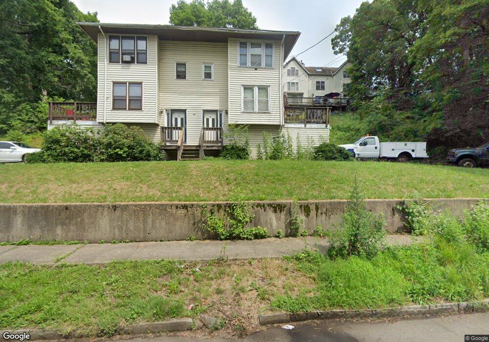
114 Lexington Ave Unit F New Haven, CT 06513
Fair Haven Heights NeighborhoodEstimated Value: $187,000 - $237,000
2
Beds
2
Baths
1,120
Sq Ft
$187/Sq Ft
Est. Value
About This Home
This home is located at 114 Lexington Ave Unit F, New Haven, CT 06513 and is currently estimated at $209,678, approximately $187 per square foot. 114 Lexington Ave Unit F is a home located in New Haven County with nearby schools including Ross Woodward, Booker T. Washington Academy, and Amistad Academy.
Ownership History
Date
Name
Owned For
Owner Type
Purchase Details
Closed on
Sep 3, 1996
Sold by
Fritz Tenya M
Bought by
Johnston John W
Current Estimated Value
Home Financials for this Owner
Home Financials are based on the most recent Mortgage that was taken out on this home.
Original Mortgage
$54,000
Interest Rate
8.18%
Mortgage Type
Unknown
Create a Home Valuation Report for This Property
The Home Valuation Report is an in-depth analysis detailing your home's value as well as a comparison with similar homes in the area
Home Values in the Area
Average Home Value in this Area
Purchase History
| Date | Buyer | Sale Price | Title Company |
|---|---|---|---|
| Johnston John W | $57,000 | -- |
Source: Public Records
Mortgage History
| Date | Status | Borrower | Loan Amount |
|---|---|---|---|
| Open | Johnston John W | $132,000 | |
| Closed | Johnston John W | $102,400 | |
| Closed | Johnston John W | $25,600 | |
| Closed | Johnston John W | $54,000 | |
| Closed | Johnston John W | $3,000 |
Source: Public Records
Tax History Compared to Growth
Tax History
| Year | Tax Paid | Tax Assessment Tax Assessment Total Assessment is a certain percentage of the fair market value that is determined by local assessors to be the total taxable value of land and additions on the property. | Land | Improvement |
|---|---|---|---|---|
| 2025 | $2,990 | $75,880 | $0 | $75,880 |
| 2024 | $2,921 | $75,880 | $0 | $75,880 |
| 2023 | $2,823 | $75,880 | $0 | $75,880 |
| 2022 | $3,016 | $75,880 | $0 | $75,880 |
| 2021 | $2,172 | $49,490 | $0 | $49,490 |
| 2020 | $2,172 | $49,490 | $0 | $49,490 |
| 2019 | $2,127 | $49,490 | $0 | $49,490 |
| 2018 | $2,127 | $49,490 | $0 | $49,490 |
| 2017 | $1,914 | $49,490 | $0 | $49,490 |
| 2016 | $2,181 | $52,500 | $0 | $52,500 |
| 2015 | $2,181 | $52,500 | $0 | $52,500 |
| 2014 | $2,181 | $52,500 | $0 | $52,500 |
Source: Public Records
Map
Nearby Homes
- 95 Lenox St Unit L
- 121 Lexington Ave Unit 21
- 12 E Ferry St
- 193 Farren Ave
- 533 Quinnipiac Ave
- 196 Farren Ave
- 190 Farren Ave
- 265 Lexington Ave
- 1 Front St Unit 1 Kel
- 8 Front St Unit D
- 43 E Pearl St
- 32 E Pearl St
- 33 Chapel St
- 76 Front St Unit 76
- 314 Lenox St
- 191 Ferry St
- 172 Quinnipiac Ave
- 100 Front St Unit 100
- 71 Houston St
- 674 Quinnipiac Ave
- 114 Lexington Ave Unit H
- 114 Lexington Ave Unit G
- 114 Lexington Ave Unit E
- 114 Lexington Ave Unit D
- 110 Lexington Ave Unit C
- 110 Lexington Ave Unit B
- 110 Lexington Ave Unit A
- 95 Lenox St Unit K
- 110 Lexington Ave Unit L
- 95 Lenox St Unit I
- 110 Lexington Ave Unit I
- 95 Lenox St Unit I
- 110 Lenox St
- 95 Lenox St Unit L
- 95 Lenox St Unit K
- 95 Lenox St Unit J
- 95 Lenox St Unit I
- 124 Lexington Ave
- 89 Lenox St Unit N