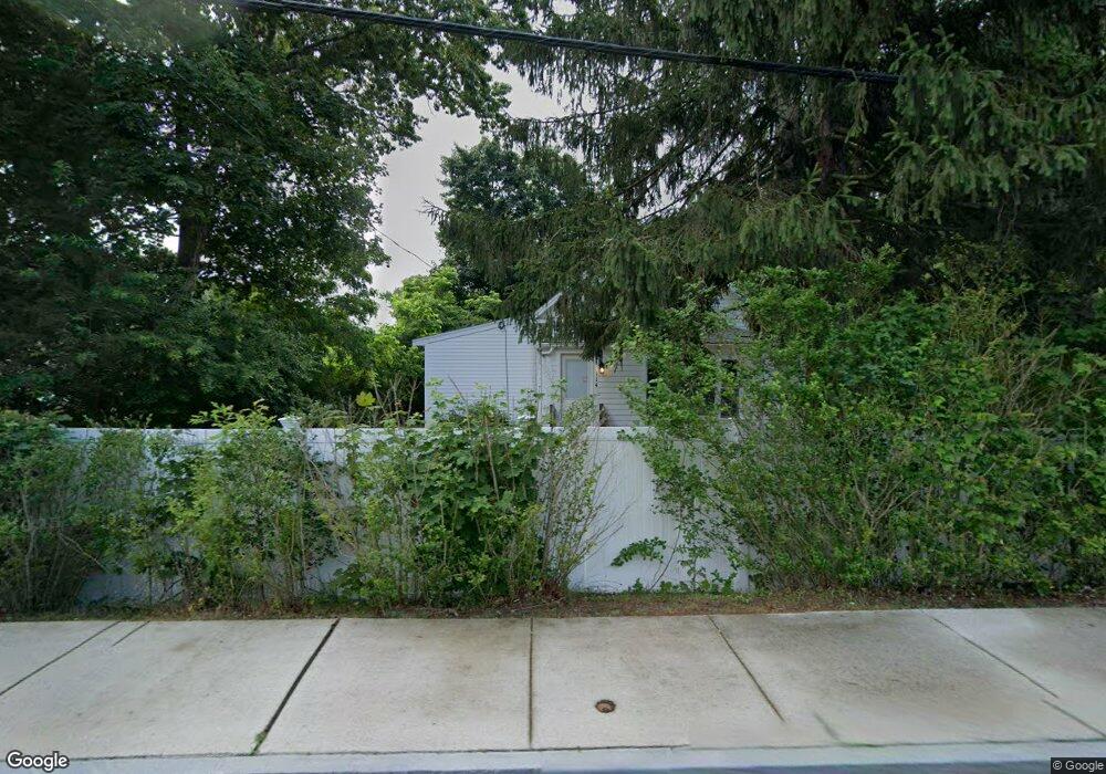
114 Mattakeesett St Pembroke, MA 02359
Estimated Value: $498,000 - $544,000
2
Beds
2
Baths
1,032
Sq Ft
$510/Sq Ft
Est. Value
About This Home
This home is located at 114 Mattakeesett St, Pembroke, MA 02359 and is currently estimated at $526,193, approximately $509 per square foot. 114 Mattakeesett St is a home located in Plymouth County with nearby schools including Pembroke High School.
Ownership History
Date
Name
Owned For
Owner Type
Purchase Details
Closed on
May 24, 2019
Sold by
Chisholm Steven T
Bought by
Chisholm Steven T and Chisholm Lyman W
Current Estimated Value
Purchase Details
Closed on
Mar 1, 1999
Sold by
Mill Pond Rt and Tewksbury Elizabeth
Bought by
Chisholm Steven T
Home Financials for this Owner
Home Financials are based on the most recent Mortgage that was taken out on this home.
Original Mortgage
$87,200
Interest Rate
6.78%
Mortgage Type
Purchase Money Mortgage
Purchase Details
Closed on
Dec 3, 1998
Sold by
Blake Paul V
Bought by
Mill Pond Rt and Tewksbury Elizabeth
Purchase Details
Closed on
May 16, 1989
Sold by
Mckernan Mary E
Bought by
Blake Paul
Home Financials for this Owner
Home Financials are based on the most recent Mortgage that was taken out on this home.
Original Mortgage
$95,000
Interest Rate
11.14%
Mortgage Type
Purchase Money Mortgage
Create a Home Valuation Report for This Property
The Home Valuation Report is an in-depth analysis detailing your home's value as well as a comparison with similar homes in the area
Home Values in the Area
Average Home Value in this Area
Purchase History
| Date | Buyer | Sale Price | Title Company |
|---|---|---|---|
| Chisholm Steven T | -- | -- | |
| Chisholm Steven T | $109,000 | -- | |
| Mill Pond Rt | $63,000 | -- | |
| Blake Paul | $130,000 | -- |
Source: Public Records
Mortgage History
| Date | Status | Borrower | Loan Amount |
|---|---|---|---|
| Previous Owner | Blake Paul | $104,000 | |
| Previous Owner | Blake Paul | $87,200 | |
| Previous Owner | Blake Paul | $95,000 | |
| Previous Owner | Blake Paul | $32,900 |
Source: Public Records
Tax History Compared to Growth
Tax History
| Year | Tax Paid | Tax Assessment Tax Assessment Total Assessment is a certain percentage of the fair market value that is determined by local assessors to be the total taxable value of land and additions on the property. | Land | Improvement |
|---|---|---|---|---|
| 2025 | $5,524 | $459,600 | $282,000 | $177,600 |
| 2024 | $5,264 | $437,600 | $262,000 | $175,600 |
| 2023 | $5,065 | $398,200 | $240,300 | $157,900 |
| 2022 | $4,821 | $340,700 | $200,800 | $139,900 |
| 2021 | $4,416 | $302,900 | $192,100 | $110,800 |
| 2020 | $4,338 | $299,400 | $187,900 | $111,500 |
| 2019 | $4,195 | $287,300 | $179,200 | $108,100 |
| 2018 | $3,980 | $267,300 | $169,600 | $97,700 |
| 2017 | $3,920 | $259,600 | $161,100 | $98,500 |
| 2016 | $3,817 | $250,100 | $150,600 | $99,500 |
| 2015 | $3,602 | $244,400 | $144,100 | $100,300 |
Source: Public Records
Map
Nearby Homes
- 10 Warren Terrace
- 53 Grove St
- 29 Liberty Dr Unit 29
- 204 Center St Unit 9
- 8 Pinehurst Ave
- 23 Pondview Ave
- 18 Wampatuck St
- 299 Center St
- 22 Pondview Ave
- 10 Fir Rd
- 26 Pierce Dr
- 78 Old Cart Path Ln Unit Lot 3
- 72 Old Cart Path Ln Unit Lot 2
- 136 W Elm St
- 269 Lakeside Rd
- 5 Hatch Rd
- 77 Old Cart Path Ln Unit Lot 4
- 456 Maquan St
- 134 Crescent St
- 100 Fairwood Dr
- 110 Mattakeesett St Unit 3
- 110 Mattakeesett St Unit 2
- 110 Mattakeesett St Unit 1
- 110 Mattakeesett St Unit 6
- 118 Mattakeesett St
- 3 Wildwood Rd
- 3-1A Wildwood Rd
- 3-26 Wildwood Rd
- 122 Mattakeesett St
- 119 Mattakeesett St
- 104 Mattakeesett St
- 11 Wildwood Rd
- 11 Wildwood Rd
- 127 Mattakeesett St
- 98 Mattakeesett St
- 130 Mattakeesett St
- 135 Mattakeesett St
- 20 Andrew Dr
- 94 Mattakeesett St
- 94 Mattakeesett St Unit Single