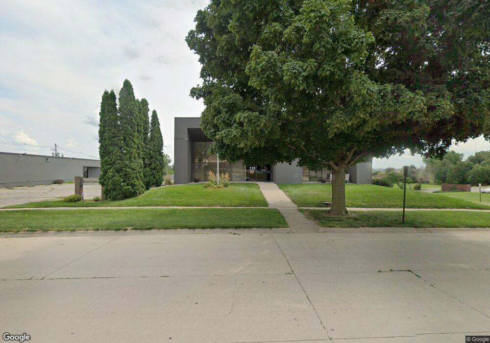
114 Nicholas Dr Marshalltown, IA 50158
Estimated Value: $436,854
--
Bed
--
Bath
3,040
Sq Ft
$144/Sq Ft
Est. Value
About This Home
This home is located at 114 Nicholas Dr, Marshalltown, IA 50158 and is currently estimated at $436,854, approximately $143 per square foot. 114 Nicholas Dr is a home located in Marshall County with nearby schools including Fisher Elementary School, B.R. Miller Middle School, and Marshalltown High School.
Ownership History
Date
Name
Owned For
Owner Type
Purchase Details
Closed on
Feb 8, 2022
Sold by
Lacina Kyle G
Bought by
Kgl5 Holdings Llc
Current Estimated Value
Purchase Details
Closed on
Feb 1, 2022
Sold by
Lacina Holdings Llc
Bought by
Lacina Kyle G
Purchase Details
Closed on
Mar 29, 2012
Sold by
Olson Nancy and Olson Larry
Bought by
Lacina Holdings Llc
Home Financials for this Owner
Home Financials are based on the most recent Mortgage that was taken out on this home.
Original Mortgage
$200,000
Interest Rate
3.92%
Mortgage Type
Commercial
Purchase Details
Closed on
Jun 28, 2006
Sold by
Roland Carroll D
Bought by
Olson Nancy
Purchase Details
Closed on
Jun 21, 2006
Sold by
Kopper Beverly and Hill Alan L
Bought by
Olson Nancy
Create a Home Valuation Report for This Property
The Home Valuation Report is an in-depth analysis detailing your home's value as well as a comparison with similar homes in the area
Home Values in the Area
Average Home Value in this Area
Purchase History
| Date | Buyer | Sale Price | Title Company |
|---|---|---|---|
| Kgl5 Holdings Llc | -- | None Listed On Document | |
| Lacina Kyle G | -- | None Listed On Document | |
| Lacina Holdings Llc | $250,000 | None Available | |
| Olson Nancy | -- | None Available | |
| Olson Nancy | $233,000 | None Available |
Source: Public Records
Mortgage History
| Date | Status | Borrower | Loan Amount |
|---|---|---|---|
| Previous Owner | Lacina Holdings Llc | $200,000 |
Source: Public Records
Tax History Compared to Growth
Tax History
| Year | Tax Paid | Tax Assessment Tax Assessment Total Assessment is a certain percentage of the fair market value that is determined by local assessors to be the total taxable value of land and additions on the property. | Land | Improvement |
|---|---|---|---|---|
| 2024 | $11,646 | $388,700 | $49,320 | $339,380 |
| 2023 | $9,364 | $388,700 | $49,320 | $339,380 |
| 2022 | $10,490 | $312,900 | $49,320 | $263,580 |
| 2021 | $10,018 | $278,570 | $49,320 | $229,250 |
| 2020 | $10,017 | $266,400 | $49,320 | $217,080 |
Source: Public Records
Map
Nearby Homes
- 2307 Maple Blvd
- 102 W Southridge Rd
- 407 Wauconda Rd
- 2910 S 2nd St
- 1103 E Southridge Rd
- 1107 E Southridge Rd
- 2920 Jackie Terrace
- 217 Westwood Dr
- 2520 Knollway Dr
- 811 Woodside Dr
- 801 Woodside Dr
- 2606 Knollway Dr
- 2610 Knollway Dr
- 2614 Knollway Dr
- 2622 Knollway Dr
- 2626 Knollway Dr
- 807 W Merle Hibbs Blvd
- 827 W Merle Hibbs Blvd
- 825 W Merle Hibbs Blvd
- 823 W Merle Hibbs Blvd
- 2610 S 2nd St
- 112 Nicholas Dr
- 113 Nicholas Dr
- 2608 S 2nd St
- 2504 S 2nd St Unit 25
- 202 Nicholas Dr Unit 20
- 201 Nicholas Dr
- 2613 S Center St
- 105 Nicholas Dr
- 2502 S 2nd St
- 2414 S 2nd St
- 302 Nicholas Dr
- 2501 S 2nd St
- 304 Nicholas Dr
- 304 Nicholas Dr
- 2609 S Center St
- 2605 S Center St
- 125 W Merle Hibbs Blvd
- 203 W Merle Hibbs Blvd
- 2501 S Center St