114 Pratt Rd Hartwick, NY 13348
Estimated Value: $237,000 - $348,224
2
Beds
2
Baths
2,240
Sq Ft
$136/Sq Ft
Est. Value
About This Home
This home is located at 114 Pratt Rd, Hartwick, NY 13348 and is currently estimated at $305,075, approximately $136 per square foot. 114 Pratt Rd is a home with nearby schools including Edmeston Central School.
Ownership History
Date
Name
Owned For
Owner Type
Purchase Details
Closed on
Dec 27, 2013
Sold by
Mosquera Frank
Bought by
Coutlee Travis
Current Estimated Value
Home Financials for this Owner
Home Financials are based on the most recent Mortgage that was taken out on this home.
Original Mortgage
$132,063
Outstanding Balance
$97,532
Interest Rate
4.35%
Mortgage Type
FHA
Estimated Equity
$207,543
Purchase Details
Closed on
Feb 5, 2008
Sold by
Waterman Betty
Bought by
Mosquera Frank
Create a Home Valuation Report for This Property
The Home Valuation Report is an in-depth analysis detailing your home's value as well as a comparison with similar homes in the area
Home Values in the Area
Average Home Value in this Area
Purchase History
| Date | Buyer | Sale Price | Title Company |
|---|---|---|---|
| Coutlee Travis | $134,500 | Robert W. Birch | |
| Mosquera Frank | $115,000 | Martin Tillapaugh | |
| Mosquera Frank | $115,000 | Martin Tillapaugh |
Source: Public Records
Mortgage History
| Date | Status | Borrower | Loan Amount |
|---|---|---|---|
| Open | Coutlee Travis | $132,063 |
Source: Public Records
Tax History
| Year | Tax Paid | Tax Assessment Tax Assessment Total Assessment is a certain percentage of the fair market value that is determined by local assessors to be the total taxable value of land and additions on the property. | Land | Improvement |
|---|---|---|---|---|
| 2024 | $5,619 | $305,000 | $22,700 | $282,300 |
| 2023 | $2,899 | $69,700 | $7,300 | $62,400 |
| 2022 | $3,277 | $69,700 | $7,300 | $62,400 |
| 2021 | $3,327 | $69,700 | $7,300 | $62,400 |
| 2020 | $2,928 | $69,700 | $7,300 | $62,400 |
| 2019 | $2,792 | $69,700 | $7,300 | $62,400 |
| 2018 | $2,792 | $69,700 | $7,300 | $62,400 |
| 2017 | $2,724 | $69,700 | $7,300 | $62,400 |
| 2016 | $2,727 | $69,700 | $7,300 | $62,400 |
| 2015 | -- | $69,700 | $7,300 | $62,400 |
| 2014 | -- | $69,700 | $7,300 | $62,400 |
Source: Public Records
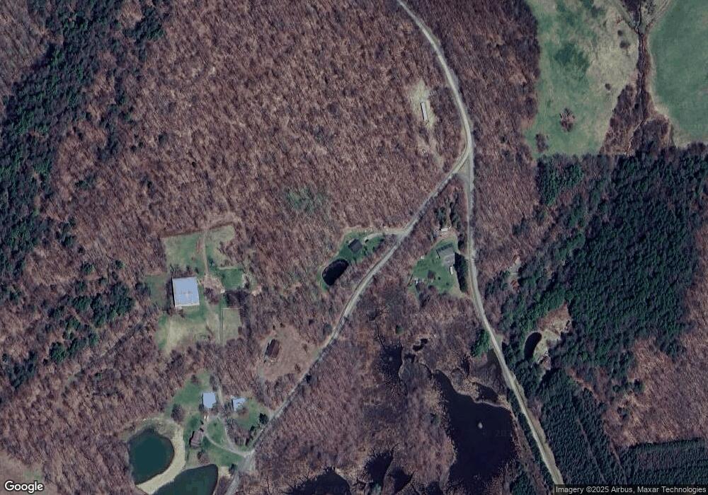
Map
Nearby Homes
- Lot 5 Goddards Rd
- Lot #10 Goddards Rd
- Lot 3 Goddards Rd
- Lot 4 Goddards Rd
- 0WP Texas Rd
- 0 Co Hwy 16 Unit R1668658
- 0 Bolton Rd Unit R1665986
- 175 Hovick Rd
- 110 W Hill Rd
- 3025 County Highway 11
- 5626 New York 51
- 5626 State Highway 51
- 155 John Hill Rd
- Lot A Piermott Ln
- 173 Bristol Rd
- 166 Backus Rd
- 225 Bristol Rd
- 135 Cook Rd
- 205 Arnold Rd
- L 8.06 Thayer Rd
- 299 Patent Rd
- 158 Pratt Rd
- 278 Patent Rd
- 215 Pratt Rd
- 0 Patent Rd
- 389 Patent Rd
- 215 Pratt Rd
- 1092 Billy Schwerd Rd
- 199 Patent Rd
- 1106 Billy Schwerd Rd
- 131 Billy Schwerd Rd
- 1007 Billy Schwerd Rd
- 859 Betty Annes Rd
- 815 Betty Annes Rd
- 186 Deminco Rd
- 186 de Minco Rd
- 186 de Minco Rd
- 942 Billy Schwerd Rd
- 806 Betty Annes Rd
- 1807 County Highway 16
Your Personal Tour Guide
Ask me questions while you tour the home.