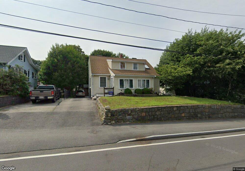
114 Squantum St Milton, MA 02186
Montclair NeighborhoodEstimated Value: $795,000 - $905,000
3
Beds
1
Bath
1,622
Sq Ft
$509/Sq Ft
Est. Value
About This Home
This home is located at 114 Squantum St, Milton, MA 02186 and is currently estimated at $826,401, approximately $509 per square foot. 114 Squantum St is a home located in Norfolk County with nearby schools including Milton High School, St. Agatha School, and Quincy Catholic Academy.
Ownership History
Date
Name
Owned For
Owner Type
Purchase Details
Closed on
Dec 17, 1999
Sold by
Mottau Ross A and Mottau Katherine
Bought by
Chan Tony C
Current Estimated Value
Home Financials for this Owner
Home Financials are based on the most recent Mortgage that was taken out on this home.
Original Mortgage
$150,000
Interest Rate
7.81%
Mortgage Type
Purchase Money Mortgage
Purchase Details
Closed on
Dec 17, 1990
Sold by
Oneil Ruth M
Bought by
Chesnick Katherine
Create a Home Valuation Report for This Property
The Home Valuation Report is an in-depth analysis detailing your home's value as well as a comparison with similar homes in the area
Home Values in the Area
Average Home Value in this Area
Purchase History
| Date | Buyer | Sale Price | Title Company |
|---|---|---|---|
| Chan Tony C | $240,000 | -- | |
| Chesnick Katherine | $120,000 | -- |
Source: Public Records
Mortgage History
| Date | Status | Borrower | Loan Amount |
|---|---|---|---|
| Open | Chesnick Katherine | $139,000 | |
| Closed | Chesnick Katherine | $150,000 | |
| Previous Owner | Chesnick Katherine | $126,000 | |
| Previous Owner | Chesnick Katherine | $126,000 |
Source: Public Records
Tax History
| Year | Tax Paid | Tax Assessment Tax Assessment Total Assessment is a certain percentage of the fair market value that is determined by local assessors to be the total taxable value of land and additions on the property. | Land | Improvement |
|---|---|---|---|---|
| 2025 | $8,583 | $773,900 | $465,600 | $308,300 |
| 2024 | $8,280 | $758,200 | $443,500 | $314,700 |
| 2023 | $8,126 | $712,800 | $422,600 | $290,200 |
| 2022 | $8,084 | $648,300 | $422,600 | $225,700 |
| 2021 | $7,702 | $586,600 | $371,600 | $215,000 |
| 2020 | $7,108 | $541,800 | $320,400 | $221,400 |
| 2019 | $6,934 | $526,100 | $311,100 | $215,000 |
| 2018 | $6,404 | $463,700 | $245,700 | $218,000 |
| 2017 | $5,991 | $441,800 | $234,000 | $207,800 |
| 2016 | $5,897 | $436,800 | $234,000 | $202,800 |
| 2015 | $5,785 | $415,000 | $215,500 | $199,500 |
Source: Public Records
Map
Nearby Homes
- 52 California Ave
- 0 Franklin St
- 30 Elmwood Park
- 400 Adams St Unit A
- 397 Adams St
- 281 Elmwood Ave
- 17 Albany St
- 1185 Brook Rd
- 440 Granite Ave Unit 201
- 115 W Squantum St Unit 517
- 115 W Squantum St Unit 811
- 154 N Central Ave
- 54 Safford St
- 39 Fayette St Unit 403
- 100 W Squantum St Unit 411
- 41 Wallace Rd
- 46 Century Ln
- 17 Holmes St Unit 204
- 17 Holmes St Unit 2
- 17 Holmes St Unit 1
- 112 Squantum St
- 116 Squantum St
- 35 Pine Grove St
- 31 Pine Grove St
- 25 Hope Ave
- 105 Squantum St Unit 107
- 39 Pine Grove St
- 101 Squantum St Unit 103
- 25 Pine Grove St
- 7 Denmark Ave
- 23 Hope Ave
- 103 Squantum St
- 108 Squantum St
- 45 Pine Grove St
- 15 Denmark Ave
- 0 Pine Gardens Way
- 111 Squantum St
- 2 Berlin Ave
- 10 Denmark Ave
- 6 Denmark Ave
Your Personal Tour Guide
Ask me questions while you tour the home.