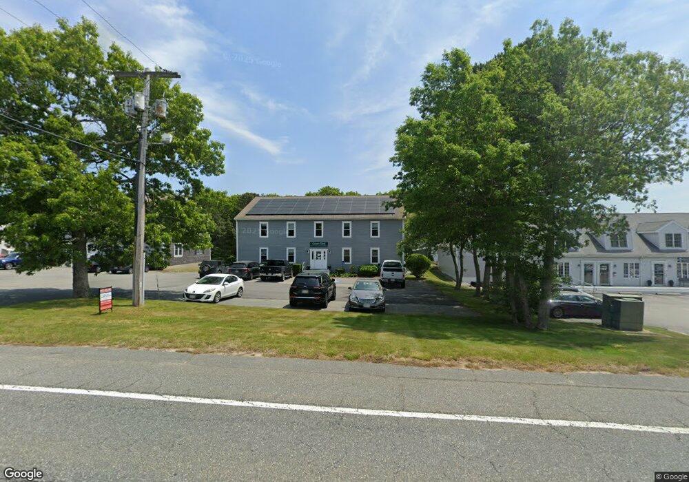
114 State Rd Unit 1 Bourne, MA 02562
Estimated Value: $2,016,030
Studio
--
Bath
500
Sq Ft
$4,032/Sq Ft
Est. Value
About This Home
This home is located at 114 State Rd Unit 1, Bourne, MA 02562 and is currently estimated at $2,016,030, approximately $4,032 per square foot. 114 State Rd Unit 1 is a home located in Barnstable County with nearby schools including Bourne High School, Bridgeview Montessori School, and New Testament Christian School.
Ownership History
Date
Name
Owned For
Owner Type
Purchase Details
Closed on
May 15, 2002
Sold by
Simpson Joan T
Bought by
Vigeant Fnt
Current Estimated Value
Home Financials for this Owner
Home Financials are based on the most recent Mortgage that was taken out on this home.
Original Mortgage
$536,000
Outstanding Balance
$229,831
Interest Rate
7.15%
Mortgage Type
Commercial
Estimated Equity
$1,786,199
Create a Home Valuation Report for This Property
The Home Valuation Report is an in-depth analysis detailing your home's value as well as a comparison with similar homes in the area
Home Values in the Area
Average Home Value in this Area
Purchase History
| Date | Buyer | Sale Price | Title Company |
|---|---|---|---|
| Vigeant Fnt | $715,000 | -- | |
| Vigeant Fnt | $715,000 | -- |
Source: Public Records
Mortgage History
| Date | Status | Borrower | Loan Amount |
|---|---|---|---|
| Open | Vigeant Fnt | $536,000 | |
| Closed | Vigeant Fnt | $536,000 |
Source: Public Records
Tax History
| Year | Tax Paid | Tax Assessment Tax Assessment Total Assessment is a certain percentage of the fair market value that is determined by local assessors to be the total taxable value of land and additions on the property. | Land | Improvement |
|---|---|---|---|---|
| 2025 | $5,622 | $719,800 | $0 | $719,800 |
| 2024 | $5,497 | $685,400 | $0 | $685,400 |
| 2023 | $4,575 | $519,300 | $0 | $519,300 |
| 2022 | $4,941 | $489,700 | $0 | $489,700 |
| 2021 | $5,095 | $473,100 | $0 | $473,100 |
| 2020 | $5,008 | $466,300 | $0 | $466,300 |
| 2019 | $4,788 | $455,600 | $0 | $455,600 |
| 2018 | $4,797 | $455,100 | $0 | $455,100 |
| 2017 | $4,617 | $448,300 | $0 | $448,300 |
| 2016 | $4,606 | $453,300 | $0 | $453,300 |
| 2015 | $4,238 | $420,900 | $0 | $420,900 |
Source: Public Records
Map
Nearby Homes
- 0 State Rd
- 16 Ocean Pines Dr Unit B
- 8 Driftwood Ln
- 17 Ridgehill Ln
- 10 Tecumseh Rd
- 11 Village Green Dr Unit B
- 133 Phillips Rd
- 38 Siasconset Dr
- 150 Herring Pond Rd
- 18 Gibbs Rd
- 30 Pawtuxet Rd
- 6 Aspen Rd
- 6 Aspen Rd
- 896 Sandwich Rd
- 40 Menotomy Rd
- 8 Jillian Dr
- 7 Swamp Rd
- 92 Cliffside Dr Unit hole 2
- 51 Commonwealth Ave
- 51 Commonwealth Ave
- 114 State Rd
- 114 State Rd Unit 5
- 114 State Rd Unit B
- 114 State Rd Unit 2
- 114 State Rd Unit 1
- 114 State Rd
- 112 State Rd
- 7 Sycamore Ave
- 9 Sycamore Ave
- 110 State Rd Unit 2
- 110 State Rd Unit 7
- 110 State Rd Unit 3
- 110 State Rd Unit 9
- 116 State Rd Unit 7
- 116 State Rd Unit 1A
- 116 State Rd Unit 2
- 116 State Rd Unit 1
- 116 State Rd Unit 5
- 116 State Rd Unit 10
- 116 State Rd
Your Personal Tour Guide
Ask me questions while you tour the home.