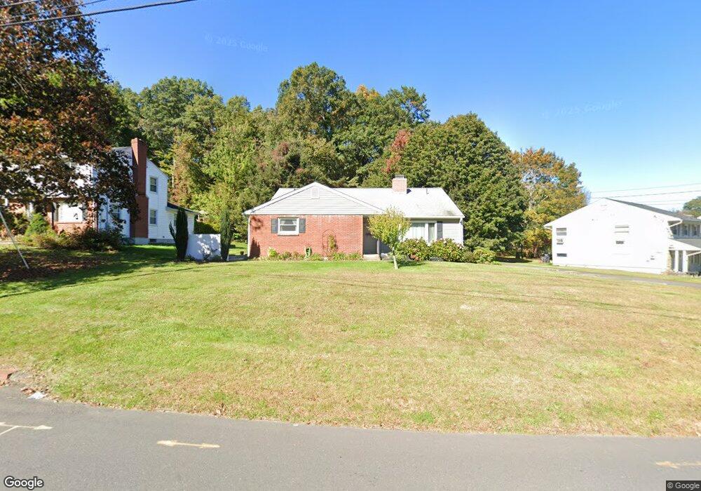
114 Stoddard Rd Waterbury, CT 06708
Bunker Hill NeighborhoodEstimated Value: $393,000 - $399,000
3
Beds
3
Baths
1,683
Sq Ft
$235/Sq Ft
Est. Value
About This Home
This home is located at 114 Stoddard Rd, Waterbury, CT 06708 and is currently estimated at $395,803, approximately $235 per square foot. 114 Stoddard Rd is a home located in New Haven County with nearby schools including Carrington Elementary School, Wilby High School, and Blessed Sacrament Catholic Day School.
Ownership History
Date
Name
Owned For
Owner Type
Purchase Details
Closed on
Sep 28, 2015
Sold by
Eichenseer Joyce M
Bought by
Eichenseer Joyce M
Current Estimated Value
Purchase Details
Closed on
Apr 12, 2004
Sold by
Dropallo Anna Est and Scott
Bought by
Eichenseer Joyce M and Eichenseer Lee E
Create a Home Valuation Report for This Property
The Home Valuation Report is an in-depth analysis detailing your home's value as well as a comparison with similar homes in the area
Home Values in the Area
Average Home Value in this Area
Purchase History
| Date | Buyer | Sale Price | Title Company |
|---|---|---|---|
| Eichenseer Joyce M | -- | -- | |
| Eichenseer Joyce M | $175,000 | -- |
Source: Public Records
Mortgage History
| Date | Status | Borrower | Loan Amount |
|---|---|---|---|
| Previous Owner | Eichenseer Joyce M | $202,000 | |
| Previous Owner | Eichenseer Joyce M | $14,140 |
Source: Public Records
Tax History Compared to Growth
Tax History
| Year | Tax Paid | Tax Assessment Tax Assessment Total Assessment is a certain percentage of the fair market value that is determined by local assessors to be the total taxable value of land and additions on the property. | Land | Improvement |
|---|---|---|---|---|
| 2025 | $8,360 | $185,850 | $24,780 | $161,070 |
| 2024 | $9,188 | $185,850 | $24,780 | $161,070 |
| 2023 | $10,071 | $185,850 | $24,780 | $161,070 |
| 2022 | $6,444 | $107,030 | $24,770 | $82,260 |
| 2021 | $6,444 | $107,030 | $24,770 | $82,260 |
| 2020 | $6,444 | $107,030 | $24,770 | $82,260 |
| 2019 | $6,444 | $107,030 | $24,770 | $82,260 |
| 2018 | $6,444 | $107,030 | $24,770 | $82,260 |
| 2017 | $6,600 | $109,620 | $24,770 | $84,850 |
| 2016 | $6,600 | $109,620 | $24,770 | $84,850 |
| 2015 | $6,382 | $109,620 | $24,770 | $84,850 |
| 2014 | $6,382 | $109,620 | $24,770 | $84,850 |
Source: Public Records
Map
Nearby Homes
- 62 Haddad Rd
- 208 Kendall Cir
- 51 Haddad Rd
- 76 Kenmore Ave
- 32 Clough Rd
- 26 Kendall Cir
- 640 Bunker Hill Ave
- 00 Bunker Hill Ave
- 28 Gaylord Glen
- 134 Heritage Dr
- 00 Gaylord Glen
- 859 Bunker Hill Ave
- 91 Devonwood Dr
- 39 Glendale Dr
- 278 Georgetown Dr
- 112 Delaware Ave
- 310 Parklawn Dr
- 107 Angel Dr Unit B
- 248 Oakville Ave Unit E
- 218 Oakville Ave Unit C
- 123 Stoddard Rd
- 108 Stoddard Rd
- 132 Stoddard Rd
- 109 Stoddard Rd
- 131 Stoddard Rd
- 98 Stoddard Rd
- 140 Stoddard Rd
- 141 Stoddard Rd
- 97 Stoddard Rd
- 90 Stoddard Rd
- 89 Stoddard Rd
- 153 Stoddard Rd
- 227 Forest Ridge Rd
- 154 Stoddard Rd
- 282 Ardsley Rd
- 306 Ardsley Rd
- 258 Ardsley Rd
- 300 Ardsley Rd
- 7 Sherwood Rd
- 312 Ardsley Rd