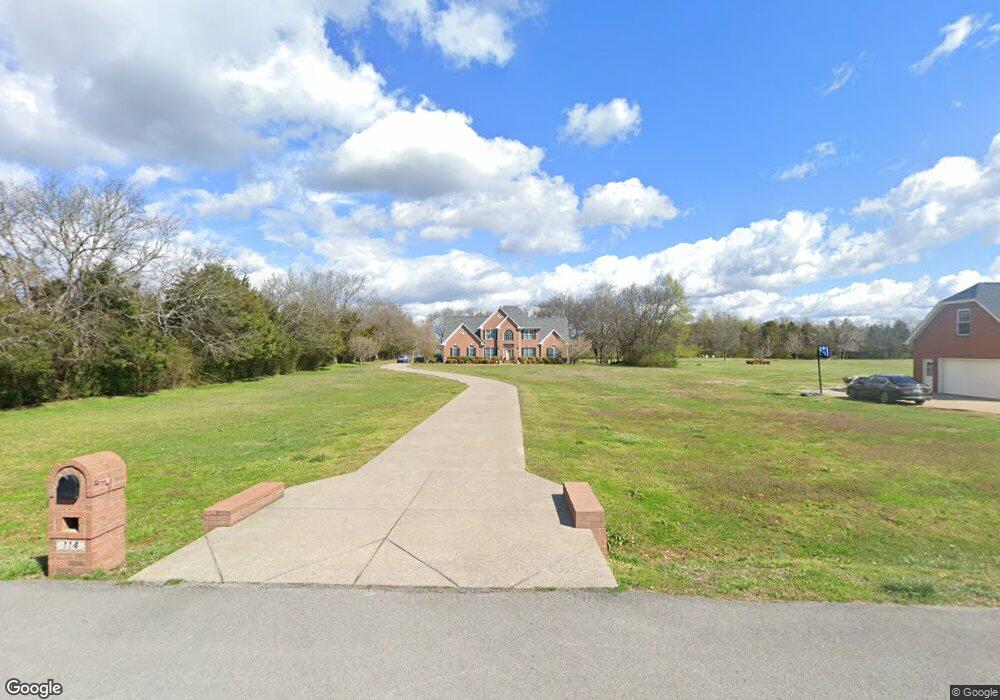
114 Trundle St Murfreesboro, TN 37128
Estimated Value: $611,904 - $664,000
--
Bed
5
Baths
3,113
Sq Ft
$206/Sq Ft
Est. Value
About This Home
This home is located at 114 Trundle St, Murfreesboro, TN 37128 and is currently estimated at $640,976, approximately $205 per square foot. 114 Trundle St is a home located in Rutherford County with nearby schools including Blackman Elementary School, Blackman Middle School, and Blackman High School.
Ownership History
Date
Name
Owned For
Owner Type
Purchase Details
Closed on
Nov 12, 1998
Sold by
River Road Construction
Bought by
Payne Jack K and Payne Geneva K
Current Estimated Value
Home Financials for this Owner
Home Financials are based on the most recent Mortgage that was taken out on this home.
Original Mortgage
$196,350
Interest Rate
6.95%
Create a Home Valuation Report for This Property
The Home Valuation Report is an in-depth analysis detailing your home's value as well as a comparison with similar homes in the area
Home Values in the Area
Average Home Value in this Area
Purchase History
| Date | Buyer | Sale Price | Title Company |
|---|---|---|---|
| Payne Jack K | $37,500 | -- | |
| River Road Construciton | $35,000 | -- |
Source: Public Records
Mortgage History
| Date | Status | Borrower | Loan Amount |
|---|---|---|---|
| Closed | River Road Construciton | $196,350 |
Source: Public Records
Tax History Compared to Growth
Tax History
| Year | Tax Paid | Tax Assessment Tax Assessment Total Assessment is a certain percentage of the fair market value that is determined by local assessors to be the total taxable value of land and additions on the property. | Land | Improvement |
|---|---|---|---|---|
| 2025 | $2,230 | $118,875 | $17,500 | $101,375 |
| 2024 | $2,230 | $118,875 | $17,500 | $101,375 |
| 2023 | $2,230 | $118,875 | $17,500 | $101,375 |
| 2022 | $1,921 | $118,875 | $17,500 | $101,375 |
| 2021 | $2,009 | $90,500 | $11,250 | $79,250 |
| 2020 | $2,009 | $90,500 | $11,250 | $79,250 |
| 2019 | $2,009 | $90,500 | $11,250 | $79,250 |
| 2018 | $1,900 | $90,500 | $0 | $0 |
| 2017 | $2,179 | $81,300 | $0 | $0 |
| 2016 | $2,179 | $81,300 | $0 | $0 |
| 2015 | $2,179 | $81,300 | $0 | $0 |
| 2014 | $2,022 | $81,300 | $0 | $0 |
| 2013 | -- | $82,225 | $0 | $0 |
Source: Public Records
Map
Nearby Homes
- 6549 Dynasty Dr
- 210 Steelson Way
- 6410 Hickory Bell Dr
- 6425 Hickory Bell Dr
- 4136 Shores Rd
- 106 Annadel St
- 1240 Avery Dr
- 5429 Perlou Ln
- 1217 Westlawn Blvd
- 6502 Franklin Rd
- 1226 Cotillion Dr
- 5309 Perlou Ln
- 5443 Cloister Dr
- 131 Kingwood Ln
- 5313 Eiffel Ct
- 4814 Saint Ives Dr
- 1526 Dewsbury Dr
- 5227 Starnes Dr
- 5230 Saint Ives Dr
- 5050 Creekside Dr